Starting point: Vršič (1611 m)
| Lat/Lon: | 46,4336°N 13,7435°E |
| |
Time of walking: 5 h 45 min
Difficulty: difficult marked way
Altitude difference: 842 m
Altitude difference po putu: 1200 m
Map: TNP 1:50.000
Recommended equipment (summer): helmet, self belay set
Recommended equipment (winter): helmet, self belay set, ice axe, crampons
Views: 14.651
 | 3 people like this post |
Access to the starting point:
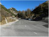
From Kranjska Gora drive towards Bovec or vice versa, but only as far as the Vršič pass, where you park.
Path description:
From the parking lot, follow the narrow road that leads past the Tičar's home towards the Postman's home. After a short climb, the road turns left and then leads to signposts where fotpaths branch off the road. Bear right after the signs "Prisojnik, Razor" and climb past the grassy peak of Sovna glava. There is a short descent and we are at the crossroads again. To the left the path leads to Prisank through the front window, we continue on the right path and cross the scree slopes on the west side of Prisank. The path then climbs slightly and leads to a crossroads where the ridge path to Prisank branches off to the left. Continue straight ahead, the path becomes less steep and very quickly we are at the crossroads again. This time, the Slovenian (southern) trail to Prisank branches off to the left, and we continue to the right, following the Razor (southern trail) markers, and start to descend slightly. The trail then switches to the southern slopes and crosses the slopes to the east. In a few places we are helped by some steel cables and steel cables and then we reach the grassy slopes. Soon we reach a crossroads where we continue to the right (Jubilee trail on Prisank on the left) in the direction of Razorja. The path crosses the slopes below Razor and leads us just a little further to the entrance to the more technically demanding part of the route. With the help of fixed safety gear we climb a short wall, which does not present any major problems. The route then heads south and towards the Tired Tower. Soon we are at the Planja saddle, where the path from Pogačnik's home joins us.
Continue right towards Planja (Razor on the left) along the path which ascends in a transverse ascent using the fixed safety gear to the top slope of the mountain. Here the steepness eases and the increasingly scenic route leads us to the vast summit in a few further steps.

Pictures:
 1
1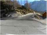 2
2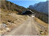 3
3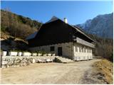 4
4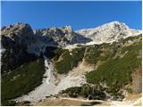 5
5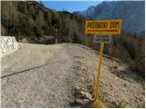 6
6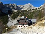 7
7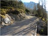 8
8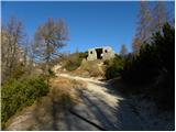 9
9 10
10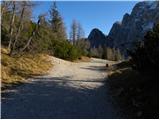 11
11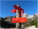 12
12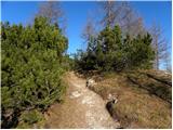 13
13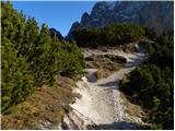 14
14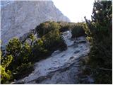 15
15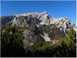 16
16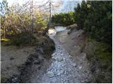 17
17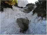 18
18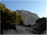 19
19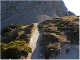 20
20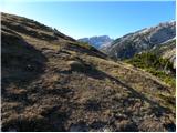 21
21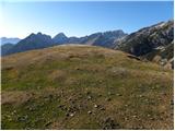 22
22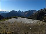 23
23 24
24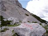 25
25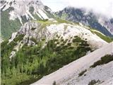 26
26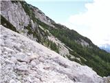 27
27 28
28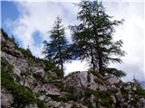 29
29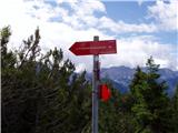 30
30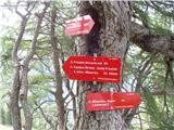 31
31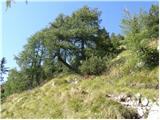 32
32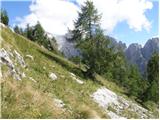 33
33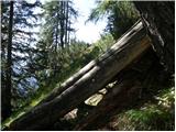 34
34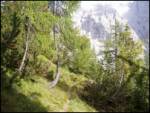 35
35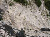 36
36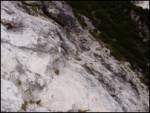 37
37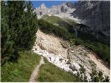 38
38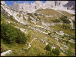 39
39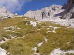 40
40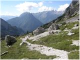 41
41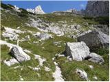 42
42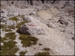 43
43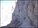 44
44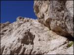 45
45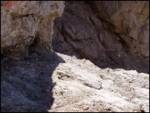 46
46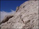 47
47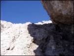 48
48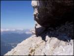 49
49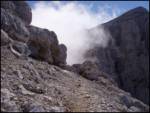 50
50 51
51 52
52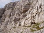 53
53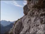 54
54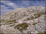 55
55 56
56
Discussion about the trail Vršič - Planja