Zvodno - Mali Bojanski vrh (via Bojanski graben)
Starting point: Zvodno (300 m)
| Lat/Lon: | 46,20666°N 15,29126°E |
| |
Name of path: via Bojanski graben
Time of walking: 45 min
Difficulty: easy marked way, easy unmarked way
Altitude difference: 300 m
Altitude difference po putu: 320 m
Map: Celjska kotlina, 1:50000
Recommended equipment (summer):
Recommended equipment (winter):
Views: 195
 | 1 person likes this post |
Access to the starting point:
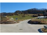
From the motorway Ljubljana - Maribor, take the exit Celje - centre and continue in the direction of Laško and Zidanega Most. The road takes you through the centre of Celje, and then leads you to a roundabout with a water meter in front of the Savinja River. Here, continue "straight ahead" across the first bridge (towards Laško and Zidani Most) and follow the road to the next traffic lights, where you turn left across the second bridge over the Savinja. Just after the bridge, turn right at the junction. After about 500 metres, you will come to an underpass under the railway line (with a large parking lot on the right and the starting point in Zagrad), drive through it and continue straight on past the fire station in Zagrad. Follow the road through the village, and higher up in Zvodno it leads to a small crossroads by the bus station, where you will see signs and signposts for Grmada to the right, Hudičev graben to the right, and the parking lot 1. 2 km to the right. Continue straight towards the new parking lot (2020) and the road gradually becomes flatter and narrower. The new parking lot - our starting point is just off the road in front of the fish farm. Here we can park and set off on a trip along the paths leading either through Bojanski graben, past Marija, through Hudičev graben or through Suhi potok. The starting point can also be reached from Dolenjska and Zasavje. In this case, first drive to Rimske Toplice and then through Laško to the second bridge described above, from where you continue as described.
Path description:
From the starting point, the signs for Hudičev graben direct us first to the road past the retaining wall back towards Celje, and after a few steps sharp left to cart track, which leads into the forest. Follow Cart track for about 100 metres to a crossroads just before Hudičevski grabno, where you leave the path into the gorge of Hudičevski potok and continue to the left towards Pečovje or Marija or Bojanski grabno. Follow the marked forest path until the next crossroads at the edge of the forest, where you join the Celje Mountain Path (CPP) to the right along the forest road coming from the route of Celje. After about 100 metres, you will come across a new crossroads, at which you leave the forest road and continue to the left down the cart track in the direction of Štor or Bojanski grabno. When you get all the way down to Bojanski grabno, at the crossroads continue sharp right along the Bojanski brook. Follow the marked path in the narrow gorge by the stream, but only until the next crossroads, where the path branches off to the left. Follow the signs, leave the Bojanski brook gorge and continue on a steeper ascent. Shortly after coming out of the forest, turn left onto the forest road, which leads at a gentle slope to Zarovice. After a few steps, we reach a saddle on the south side of Velika and Mali Bojanski vrh, where the path from Žlajfa joins us from the left at a crossroads.
If we continued southwards along the marked path, we could reach the Mountain Lodge at Svetina, Vrunčev dom, Babni vrh or Tovsto vrh. However, leave the marked path and take it north through (or past) the homestead after the saddle to Mali Bojanski vrh. The path is clearly visible and becomes narrower towards the summit. After 5 minutes you reach a rocky, overgrown summit, but there is no view. For this pleasure we have to push on a little further, a good 100 metres down the north-east ridge until a window opens with a view of Štore, the surrounding countryside and the mountains from Donacka Gora in the east to Paško Kozjak in the north.

Pictures:
 1
1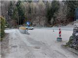 2
2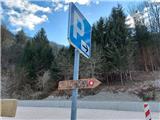 3
3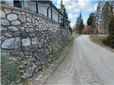 4
4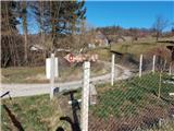 5
5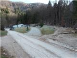 6
6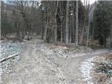 7
7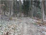 8
8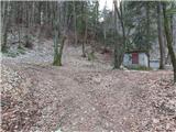 9
9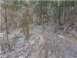 10
10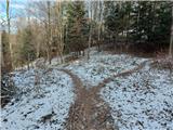 11
11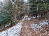 12
12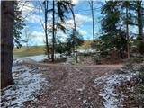 13
13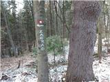 14
14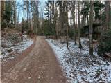 15
15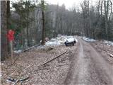 16
16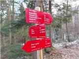 17
17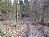 18
18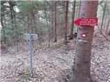 19
19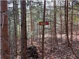 20
20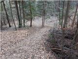 21
21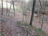 22
22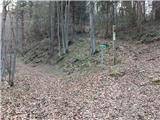 23
23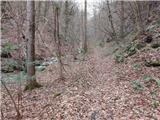 24
24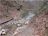 25
25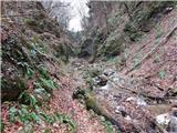 26
26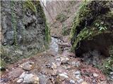 27
27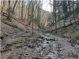 28
28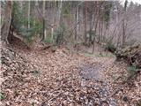 29
29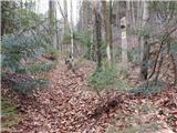 30
30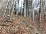 31
31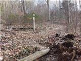 32
32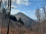 33
33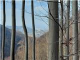 34
34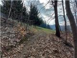 35
35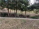 36
36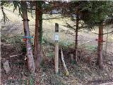 37
37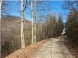 38
38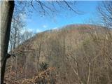 39
39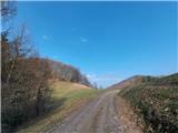 40
40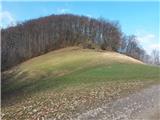 41
41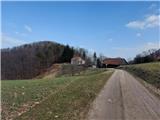 42
42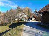 43
43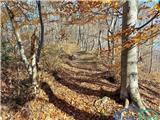 44
44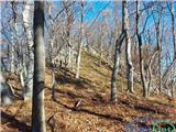 45
45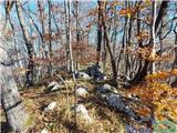 46
46 47
47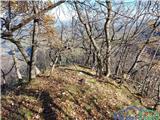 48
48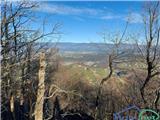 49
49
Discussion about the trail Zvodno - Mali Bojanski vrh (via Bojanski graben)