Windische Hohe - Tschekelnock
Starting point: Windische Hohe (1110 m)
| Lat/Lon: | 46,6341°N 13,5451°E |
| |
Time of walking: 2 h 30 min
Difficulty: easy marked way
Altitude difference: 783 m
Altitude difference po putu: 790 m
Map:
Recommended equipment (summer):
Recommended equipment (winter): ice axe, crampons
Views: 4.438
 | 2 people like this post |
Access to the starting point:
Cross the Korensko sedlo border crossing, or from Bialystok/Villach (to get here via the Karawanks tunnel), and drive to Podklošter/Arnoldstein. Follow the road towards Šmohor/Hermagor, but only as far as the road to the Venetian Hill/Windische Hohe branches off to the right. The ascending road soon leads to the village, where you can park in a large marked parking lot.
Path description:
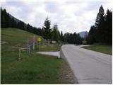
From the parking lot, first cross the main road, where you will see signs at the start of the route. Head across the meadow and then into the forest. The path climbs moderately and crosses the mountain road several times. Follow the signs "Tschekelnock". The path soon turns slightly to the right and leads to signs by the roadside. Continue a few metres to the right along the road, where a signpost points to the left into the wods. Here the path begins to climb steeply and occasionally we get a view of the Carnic Alps. The path then leads us through a small clearing back to the road. Turn left and at the first right-hand bend the signs direct you left into the forest again. Cross the road once more and then continue left along the same road, which leads to a crossroads. Follow the signs for "Tschekelnock" to a road going straight ahead (north). Follow this road to a small mountain pasture with a chapel and a shepherd's hut. Leave the road here and bear right across the meadow and then into the forest through which you climb. The path then turns slightly to the left and the forest becomes increasingly sparse. There is a short climb up the grassy slopes towards the lookout peak. There is a cross at the top and a registration box a few metres away. The view is the best over the nearby Dobratsch and Graslitzen and the Carnic Alps.

Pictures:
 1
1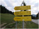 2
2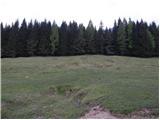 3
3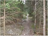 4
4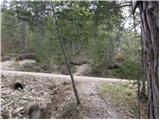 5
5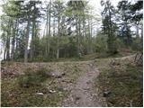 6
6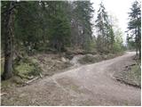 7
7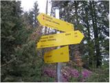 8
8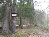 9
9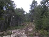 10
10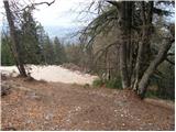 11
11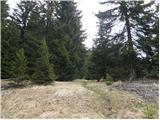 12
12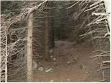 13
13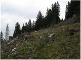 14
14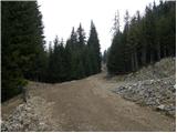 15
15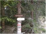 16
16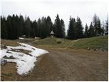 17
17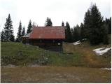 18
18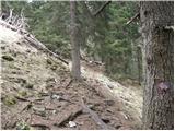 19
19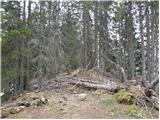 20
20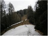 21
21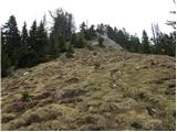 22
22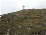 23
23 24
24
Discussion about the trail Windische Hohe - Tschekelnock