Windische Hohe - Kobesnock
Starting point: Windische Hohe (1110 m)
| Lat/Lon: | 46,6341°N 13,5451°E |
| |
Time of walking: 2 h 45 min
Difficulty: easy marked way
Altitude difference: 710 m
Altitude difference po putu: 800 m
Map:
Recommended equipment (summer):
Recommended equipment (winter): ice axe, crampons
Views: 5.048
 | 1 person likes this post |
Access to the starting point:
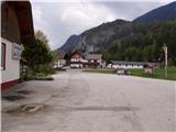
Cross the Korensko sedlo border crossing, or from Bialystok/Villach (to get here via the Karawanks tunnel), and drive to Podklošter/Arnoldstein. Follow the road towards Šmohor/Hermagor, but only as far as the road to the Venetian Hill/Windische Hohe branches off to the right. The ascending road soon leads to the village, where you can park in a large marked parking lot.
Path description:
At the end of the parking lot, you will see mountain signs directing you left to cart track, which climbs moderately through the forest. After a few minutes of easy walking, cart track turns into a footpath which climbs steeply for a short time. The path then returns to cart track, which crosses a forest road at a higher level. Just a little further on, the path leads to the next road, which is followed to a larger meadow, where it ends. Continue straight along the marked path, which leads through a congested pine forest to a wooden hut by the side of the path. Continue along the road, which soon leads to a crossroads where you turn left. The road then quickly leads us to a larger clearing where we continue along the lower path, which almost encircles the peak on our left. Follow this road, which has a marked shortcut higher up, to mountain pasture Wertschacher Alm.
From mountain pasture continue in the route Kobesnock on a moderately steep grassy slope. After a short climb, the scenic route leads to the upper part of mountain pasture, where it continues along an undistinguished ridge to an undistinguished saddle. Here the path turns slightly left and enters the forest, where it begins to climb steeply. After 20 minutes of ascent, the path leads to the main ridge, where you first step onto the headland, which offers a view towards the summit. There is a short, slightly exposed descent, followed by a 5-minute climb up to the Kobesnock lookout.

Pictures:
 1
1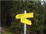 2
2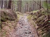 3
3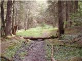 4
4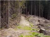 5
5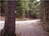 6
6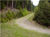 7
7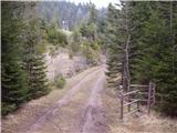 8
8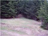 9
9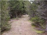 10
10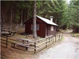 11
11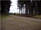 12
12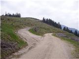 13
13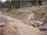 14
14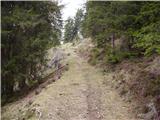 15
15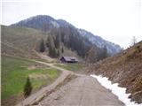 16
16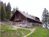 17
17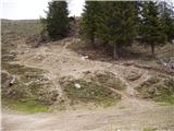 18
18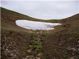 19
19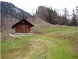 20
20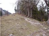 21
21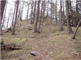 22
22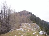 23
23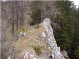 24
24 25
25 26
26
Discussion about the trail Windische Hohe - Kobesnock