Veliko Trebeljevo - Kucelj
Starting point: Veliko Trebeljevo (620 m)
| Lat/Lon: | 46,0039°N 14,7395°E |
| |
Time of walking: 45 min
Difficulty: easy marked way
Altitude difference: 128 m
Altitude difference po putu: 145 m
Map: Ljubljana - okolica 1:50.000
Recommended equipment (summer):
Recommended equipment (winter):
Views: 7.148
 | 2 people like this post |
Access to the starting point:
a) From Ljubljana's eastern bypass, take the Ljubljana Bizovik or Sostro exit, then continue towards Sostro. At the end of Sostre, the road starts to climb and after a few kilometres leads to a small pass where a steep road branches off to the right, leading to Javor. Here you continue straight ahead and descend into the valley of the Besniškega potok. Once in the valley, the road from Zalog joins us on the left, and we continue to the right and start climbing again. Follow the main road to Veliko Trebeljevo, where at the crossroads turn right towards the centre of the village (left along the main road Šmartno pri Litija). Pass through the village, past the renowned pastry shop and the Church of the Holy Cross. Above the village the road climbs steeply and then leads to a crossroads where you continue straight on in the direction of Višnja Gora (to the right Mali Vrh). Park just after the crossroads in a suitable place on the roadside.
b) First drive to Litija and from there continue towards Šmartné pri Litija. From Šmartno pri Litiji turn right and continue driving towards Štangarske Poljane and Maly and Veliki Trebeljevje. At the beginning of Veliko Trebeljevo we reach a crossroads where the main road to Zalog turns slightly to the right and we continue straight towards the centre of Veliki Trebelje. Through the village we pass a renowned pastry shop and the Church of the Holy Cross. Above the village, the road climbs steeply and then leads to a crossroads where you continue straight on in the direction Višnja Gora (right Mali Vrh). Park just after the crossroads in a suitable place along the road.
c) From the Ljubljana - Novo mesto motorway, take the exit Višnja Gora and from there continue towards Vrh pri Višnji Gori, Leskovec and Veliko Trebeljevo. After approximately 3 km drive from the village Leskovec you will reach a small crossroads where the road to Male Vrhe turns left and the road to Veliko Trebeljevo continues to the right. Park in a suitable place a few metres before the crossroads.
Path description:
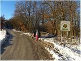
Near the signboard "Welcome to the Land of Strawberries (fruit road between Javor and Janče)" you will see cart track, which immediately splits into three parts. It doesn't matter which one you take, as all three merge after a few minutes, and the leftmost one is marked, next to which you will see a mountain direction sign for Janče, pointing down to the left. Continue slightly to the right, climbing moderately at first, and then the path will flatten out and join the aforementioned cart track. Walk along cart track for a few minutes and then the signs direct you slightly right on a marked footpath which climbs gently up the slopes of the nearby Kopanca (684 m). Later on the trail is laid, or cart track, and then it is followed by a footpath with a footpath with a footpath with a footpath with a footpath. Just a little further on, we join the road, and then we come out of the forest. The way ahead takes you past a crossroads where the road leading to Obolno branches off sharp left.
Continue straight ahead and follow the road leading to the village of Leskovec, which climbs steeply. After a few minutes, the road is laid and leads to an unmarked crossroads, where the initially wide cart track road, leading to Kuclj, branches off sharply to the right. A few steps further on, we enter a narrow lane of the forest, where we see a marking on a tree, which confirms that we are on the right path. The wide cart track continues to climb along the edge of a grassy slope, and a little higher up it turns left into the forest. Walk through the forest for a few minutes and then reach the top of the grassy slope of Kuclje, where you turn right. Continue up the less distinct cart track, which takes a few minutes past a hunting observation tower to reach a viewpoint with a geodesic tower in the middle.

We can extend the trip to the following destinations: Gradišče,
Kucelj
Pictures:
 1
1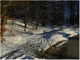 2
2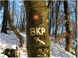 3
3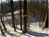 4
4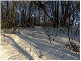 5
5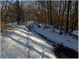 6
6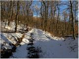 7
7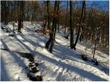 8
8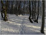 9
9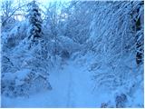 10
10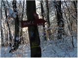 11
11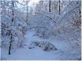 12
12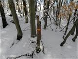 13
13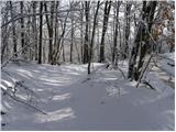 14
14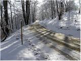 15
15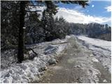 16
16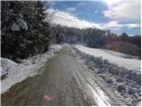 17
17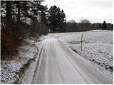 18
18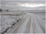 19
19 20
20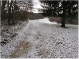 21
21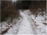 22
22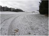 23
23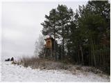 24
24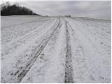 25
25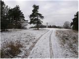 26
26 27
27
Discussion about the trail Veliko Trebeljevo - Kucelj
|
| julius20. 02. 2013 |
Simpatična tura za zimsko pohajkovanje. Hribovja in dolin okoli pa toliko, da jih ne bo zlepa zmanjkalo.
|
|
|
|
| borutd3. 06. 2018 |
Kot učitelj geografije se vprašujem od kod uradni podatki o nadmorski višini vrhov. Za Kucelj se navaja višina 748 m, na geodetski točki na Kuclju pa je navedena nadmorska višina 753, 89 m. Če geodetske izmere niso pravilne, komu lahko sploh verjamemo?
|
|
|
|
| laik3. 06. 2018 |
Po mojem skromnem mnenju je na geodetskih točkah navedena nadmorska višina na vrhu stebra,nisem pa siguren..prosim,popravite me
|
|
|