Veliko Trebeljevo - Janče
Starting point: Veliko Trebeljevo (555 m)
| Lat/Lon: | 46,0124°N 14,7384°E |
| |
Time of walking: 2 h 15 min
Difficulty: easy marked way
Altitude difference: 237 m
Altitude difference po putu: 415 m
Map: Ljubljana - okolica 1:50.000
Recommended equipment (summer):
Recommended equipment (winter):
Views: 11.983
 | 2 people like this post |
Access to the starting point:
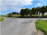
a) From the Ljubljana Eastern Bypass, take the Bizovik exit, then continue towards Sostrem and Besnica. After the pass, where the road to Javor branches off to the right, the road starts to descend and then, after a short macadam section, leads to the valley of the Besnica stream, from where we continue along the main road towards the Veliko Trebeljevo settlement. Just before the beginning of the above-mentioned place, you will come to a slightly larger crossroads where the main road continues towards Prežganje and Litija, and the road to Male Vrhe and Veliki Trebeljevje branches off to the right. There are no parking spaces at the junction where the route starts, so it is better to park a little earlier in a suitable place along the road.
b) First drive to Zalog (a part of Ljubljana), then cross the Ljubljanica River and continue driving towards Podhrad, where you turn right towards Besnice. The road ahead first passes through a narrow underpass under the railway line and then gradually begins to climb. At Besnica the road from Sostre joins the road, and we continue straight on towards Veliki Trebeljevje. Just before the beginning of the above-mentioned place, we will come to a slightly larger crossroads where the main road continues towards Prežganje and Litija, and the road to Male Vrhe and Veliki Trebeljevje branches off to the right. There are no parking spaces at the junction where the route starts, so it is better to park a little earlier in a suitable place along the road.
c) First drive to Litija and from there continue to Zavrstnik, Štangarske Poljane and Maly and Veliki Trebeljeve. At Malo Trebeljevo the road is laid and we follow it to the crossroads at the beginning of Veliko Trebeljevo, where there is also a slightly larger crossroads. There are no parking spaces at the junction where the route starts.
Path description:
From the junction near Veliko Trebeljevo, continue on the main road towards Litija. After a few minutes of easy walking along the asphalt road, which runs along the hay field, you will reach a chapel, where the marked road to Malo Trebeljevo branches off to the left, a few steps further on, and after the transformer, a marked path branches off to the left, which continues along a slightly narrower asphalt road. As soon as you leave the main road, you enter the village of Malo Trebeljevo, through which the road starts to climb. After a small pass, descend in a few minutes to another, slightly wider road, which you follow to the left, gradually climbing towards Prežganj. Soon, a road branches off to the right, leading to St. Marjeta and the Minorite House of Spiritual Exercises (access by car), and from here we continue along the main road for a short distance. At the larger brick chapel, continue right and quickly climb up the rather steep road to the Church of St. Marjeta.
From the church, we go back to the main road, and from there we continue on from the chapel towards the nearby Marjeta Inn and Pizzeria. The way forward takes you past the fire station and then to the signpost marking the end of the village of Prežganje. Here, a path branches off to the right to the nearby memorial, which was erected on the occasion of the fifth anniversary of Slovenia's independence and the year of Pope John Paul II's visit, located on a lookout hill, and we continue straight along the asphalt road, which quickly leads us to the village of Volavlje. At the part where the road bends, the path to the waterfalls branches off to the right. A few steps further on, at a small crossroads by a wooden sign, we also continue on the asphalt road (possibly also to the right, as the two roads merge higher up), and then at the beginning of a left turn we continue sharp right on the macadam road, which we follow to the first turn-off cart track, which turns sharp left (this turn-off can also be reached via the aforementioned macadam road).
Follow cart track for a few minutes until you reach another tarmac road, which you follow to the right. Just after the left-hand bend, the marked cart track road branches off to the right, and the ascent continues through the forest. From cart track you soon reach a dirt road, and after passing a few houses, you soon reach the next tarmac road, which you can follow down to a slightly larger crossroads by a transformer. From this crossroads continue straight on (left Gabrje, right Dolgo Brdo), then after the high-voltage power line continue slightly left on the marked footpath in the direction of Janč. Follow cart track up through a hay meadow, then into the wods, through which the path climbs crosswise to the right. When the ascent ends, leave the wods and pass a house on the asphalt road, which is reached near the church of St Nicholas. Cross the road slightly to the left and then follow the narrower road towards the nearby Janče Mountain Home, which is reached after a minute's walk.
Description and pictures refer to the situation in 2014 (September).

Pictures:
 1
1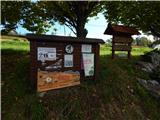 2
2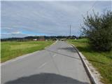 3
3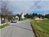 4
4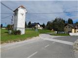 5
5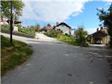 6
6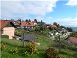 7
7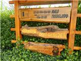 8
8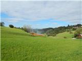 9
9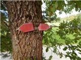 10
10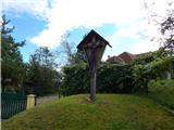 11
11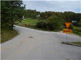 12
12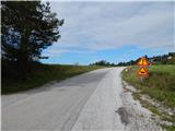 13
13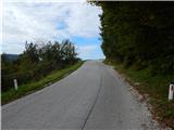 14
14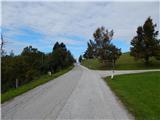 15
15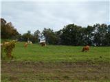 16
16 17
17 18
18 19
19 20
20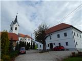 21
21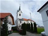 22
22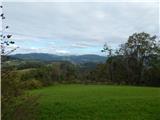 23
23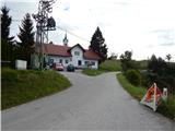 24
24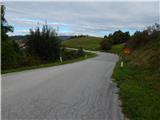 25
25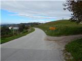 26
26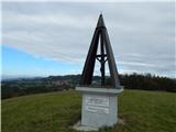 27
27 28
28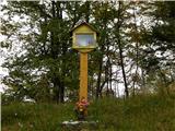 29
29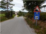 30
30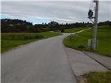 31
31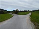 32
32 33
33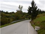 34
34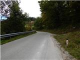 35
35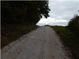 36
36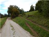 37
37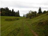 38
38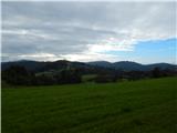 39
39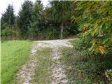 40
40 41
41 42
42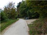 43
43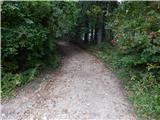 44
44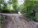 45
45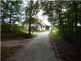 46
46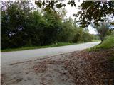 47
47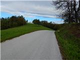 48
48 49
49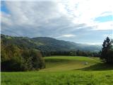 50
50 51
51 52
52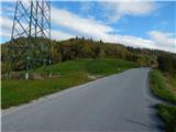 53
53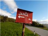 54
54 55
55 56
56 57
57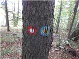 58
58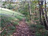 59
59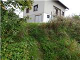 60
60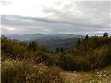 61
61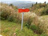 62
62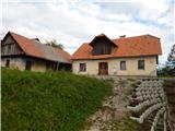 63
63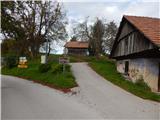 64
64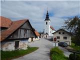 65
65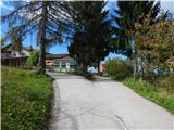 66
66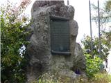 67
67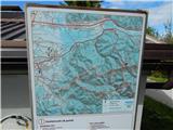 68
68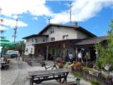 69
69 70
70
Discussion about the trail Veliko Trebeljevo - Janče
|
| prenovljeni20. 03. 2023 07:10:34 |
zdravo,
ali obstaja markirana pot z Janč do Dragovška ?
hvala, lp
|
|
|
|
| Janez Seliškar20. 03. 2023 13:30:55 |
V veliki večini gre po cesti, žal.
|
|
|