Trögern - Roblekova planina
Starting point: Trögern (991 m)
| Lat/Lon: | 46,4372°N 14,4888°E |
| |
Time of walking: 1 h 15 min
Difficulty: easy marked way
Altitude difference: 293 m
Altitude difference po putu: 315 m
Map: Karavanke - osrednji del 1:50.000
Recommended equipment (summer):
Recommended equipment (winter):
Views: 4.407
 | 2 people like this post |
Access to the starting point:
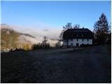
From the motorway Ljubljana - Jesenice take the exit Kranj - East and follow the road towards Jezersko. From Zgornje Jezersko continue towards Austria, and we follow the road to Železna Kapla / Bad Eisenkappel, where we turn left at a slightly larger junction towards Obirsko / Ebriach, Šajda / Zell - Schaida and Korte / Trögern. Continue along the valley of the Obirsko Creek for a few kilometres and then turn left towards Korte / Trogern. Continue through the Skoz Peci gorge to the aforementioned place, where you can park in the large parking lot next to the former Pristovnik inn.
The starting point can also be reached from the Savinjska valley via Border crossing Pavličev vrh.
Path description:
From the parking lot, follow the road leading to the starting point. After about 3 minutes of descending, you will come to a crossroads where a road branches off sharp left, along which there are mountain signs for Virnikov Grintovec, Roblekova planina and Jezersko. Take the road, which begins to climb crosswise over the initially still scenic slopes, from which a beautiful view of Virnikov Grintovec, Pečovnik, Plešivec and the surrounding hamlets opens up.
When the partly scenic slopes end, the road turns to the right and crosses the Pristovški brook, after which we arrive in a more or less compacted forest. We continue to climb through the forest for some time, and at the crossroads we follow the "main" road, which leads us higher up to a marked crossroads.
Here we continue straight on (right Virnikov Grintovec) and continue along the road, which leads us out of the forest to the lower part of Roblekova mountain pasture. From here it is only a short, folded climb to the shepherd's hut on the above-mentioned mountain pasture.
If we climb a few metres higher, we get a beautiful view of the eastern ridge of Košuta and Plešivec.

Pictures:
 1
1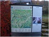 2
2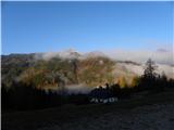 3
3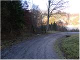 4
4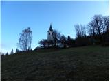 5
5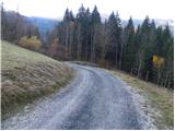 6
6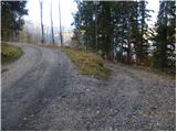 7
7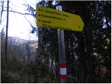 8
8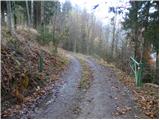 9
9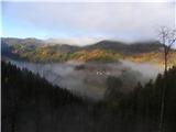 10
10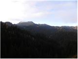 11
11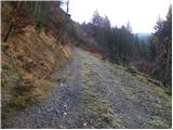 12
12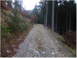 13
13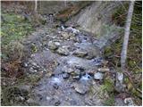 14
14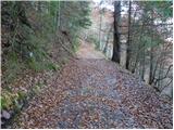 15
15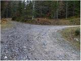 16
16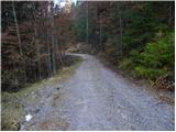 17
17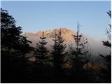 18
18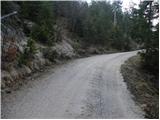 19
19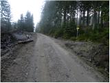 20
20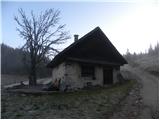 21
21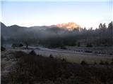 22
22
Discussion about the trail Trögern - Roblekova planina