Starting point: Trnovska vas (247 m)
| Lat/Lon: | 46,52015°N 15,88555°E |
| |
Time of walking: 1 h 20 min
Difficulty: easy marked way
Altitude difference: 62 m
Altitude difference po putu: 62 m
Map:
Recommended equipment (summer):
Recommended equipment (winter): ice axe, crampons
Views: 157
 | 1 person likes this post |
Access to the starting point:
a) Leave the Pomurje motorway at the Sveta Trojica exit, then follow the signs for Ptuj. When you arrive at Trnovska vas, turn right towards the cemetery, and we will park shortly after the crossroads in the marked parking area.
b) Take Ptuj, then follow the signs for Gornja Radgona and Sveta Trojica. At the Trnovska vas settlement, we see red mountain direction signs at the roundabout, and we continue "straight ahead" from the roundabout, then go left towards the cemetery, and soon after the crossroads we park in the marked parking lot.
Path description:
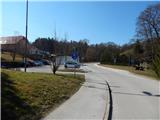
From the parking lot, return to the main road, then continue right to the nearby roundabout, where you will see the first markings and also the first mountain direction signs. Continue on the road to the left towards Vitomarci and Juršinci, where you first pass the church of St. Bolfenko, the Jager shop and other buildings, and then walk on the pavement between the road and the fields. When you reach the hamlet Trnovci, turn right and then immediately left, both in the direction of the markers and Vitomarci. After crossing the Črmljenškega brook, go right, and after the last house the road ends and the path continues along cart track, which leads us a little further on to the embankment of the aforementioned brook. Walk along the embankment to the confluence with the Pesnica, where the path turns left and continues along the embankment.
Follow the slightly longer path northwards, and when you reach the asphalt road, go right over the bridge and walk along the road to the Drbetinci settlement, where you will reach a crossroads, where you will go right in the direction of the markings and signposts.
Just a little further on, the signs for the lookout tower direct you left onto a side road (straight unmarked path towards Vitomarci, which leads along a slightly wider tarmac road and bypasses the lookout tower), which you follow, first past a few more houses and farms, and then up a steeper climb. After a few minutes of steep climbing, we reach the lookout tower at the top of Ostragova, which offers a beautiful view.
Description and pictures refer to March 2022.

Pictures:
 1
1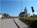 2
2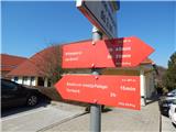 3
3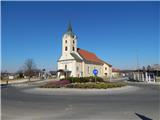 4
4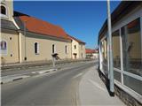 5
5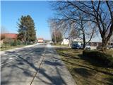 6
6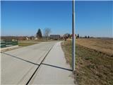 7
7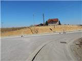 8
8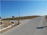 9
9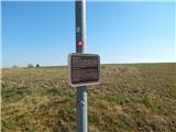 10
10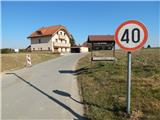 11
11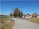 12
12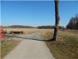 13
13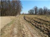 14
14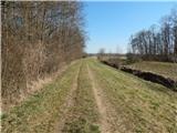 15
15 16
16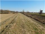 17
17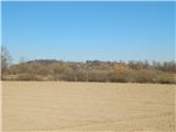 18
18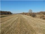 19
19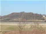 20
20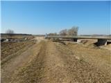 21
21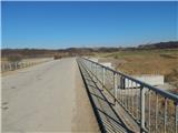 22
22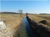 23
23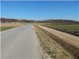 24
24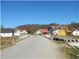 25
25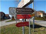 26
26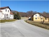 27
27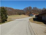 28
28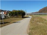 29
29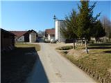 30
30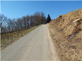 31
31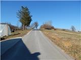 32
32 33
33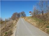 34
34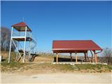 35
35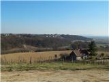 36
36 37
37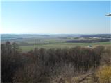 38
38
Discussion about the trail Trnovska vas - Ostragova