Tremerje - Kamčič (on the ridge of Mali Slomnik)
Starting point: Tremerje (231 m)
| Lat/Lon: | 46,19538°N 15,23067°E |
| |
Name of path: on the ridge of Mali Slomnik
Time of walking: 1 h 15 min
Difficulty: easy unmarked way
Altitude difference: 294 m
Altitude difference po putu: 320 m
Map: Celjska kotlina, 1:50000
Recommended equipment (summer):
Recommended equipment (winter):
Views: 680
 | 1 person likes this post |
Access to the starting point:
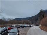
Tremerje is a settlement between Celjem and Laško. From the route of Celje, on the way to Laško, before the Hochkraut Inn, turn right at the crossroads towards Tremerjem. In the opposite direction of the turn at the junction is a bridge over the Savinja, where the central wastewater treatment plant Celje, financed by European funds, is located on the other side of the Savinja, as shown on the notice board. From the route of Laško, turn left at this junction. Immediately after the turn, the settlement is marked with a sign "Tremerje". Continue along the main road to the left turn, then straight on through the settlement for about 1 km southwards until you reach a large parking lot on the left hand side just next to the railway. Near the parking lot, on the opposite side of the road, there is a sign for Žerdoner's mountain trail to "Veliki Slomnik". Even otherwise, it is no longer viable to continue the route by car, as the flat part of the road ends about 300 metres further on, and there used to be an underpass Tremerje, which has been flooded several times.
Path description:
From the parking place, follow the asphalt road southwards towards Laško for about 300 metres, until you reach the former famous underpass Tremerje, which years ago was "paralysing and nerve-wracking", mainly due to frequent flooding and too narrow a passage. Before the underpass and before the last farmhouse at the crossroads, leave the asphalt road and turn right uphill westwards on the forest gravel road onto an unmarked path. The road winds for about 100 metres in a gorge between the Malški graben stream on the left and homesteads on the left and right. At the last homestead, leave the dirt road and continue in the same direction up the cart track into the forest. First turn right soon enough, where you get a view of the Savinja, then turn left back in a westerly direction, where you slowly pass onto the rather sloping ridge of the Maly Slomnik. Always follow the well-trodden cart track in a pleasant forest, after a good kilometre or so, a little further from the power line, past the nondescript summit of Malý Slomnik, then a good 500 metres further along the ridge until we reach a fork in the path, where we are joined on the left by the marked trail from the same starting point in Tremerje, which runs mainly along the road.
From here continue on the marked path towards Dom na Šmohorju. Firstly along the forest path, also partly logging trail, which is now followed more concretely upwards. After a few minutes we reach a crossroads where we turn sharp left upwards and join the macadam road coming from the right from Liboje and passing under the "Liboj wall" of Veliki Slomnik. Follow the dirt road upwards for only a few metres to the first crossroads, where you continue slightly to the right down the dirt road, leaving the marked path towards Šmohorje.
Follow the road for only a few tens of metres and then continue along the first cart track, which branches off to the right downhill. Soon you reach a saddle on the south side of Kamčič, where you continue in the same direction towards the ridge. Kamčič has five less distinct outcrops on its back, the highest of which is the middle one, which lies closer to the south saddle than to the north face of the precipice. As you walk along the ridge, you can see views of the neighbouring mountains. From the top of Kamčič you can descend back to the starting point along the same path, but it is worth continuing for another 15 minutes or so to the end of the Kamčič ridge, where you will get a wonderful view at the top of the rocky north face, which is probably where the ridge takes its name. The view is practically on all sides of the sky over the surrounding hills and valleys, but the most striking is the view of the quarry at Liboje, which is already deeply embedded in the eastern ridge of the neighbouring Kotečnik. From the viewpoint, a short descent eastwards to Liboje is also possible.

We can extend the trip to the following destinations: Kotečnik
Pictures:
 1
1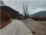 2
2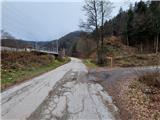 3
3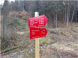 4
4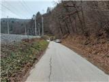 5
5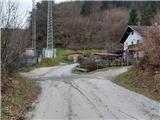 6
6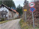 7
7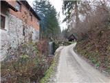 8
8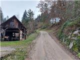 9
9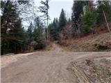 10
10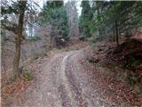 11
11 12
12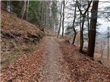 13
13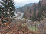 14
14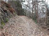 15
15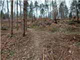 16
16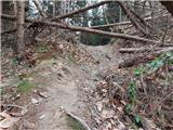 17
17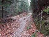 18
18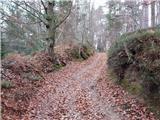 19
19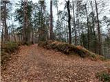 20
20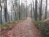 21
21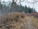 22
22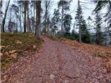 23
23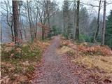 24
24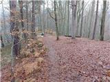 25
25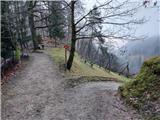 26
26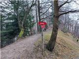 27
27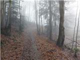 28
28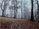 29
29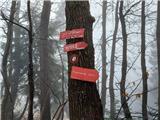 30
30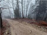 31
31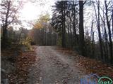 32
32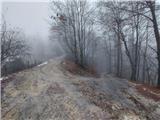 33
33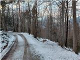 34
34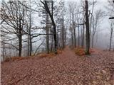 35
35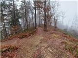 36
36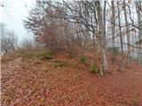 37
37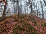 38
38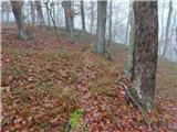 39
39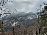 40
40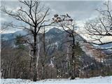 41
41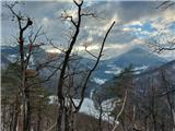 42
42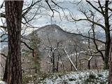 43
43 44
44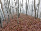 45
45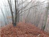 46
46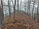 47
47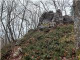 48
48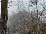 49
49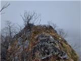 50
50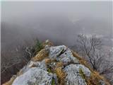 51
51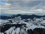 52
52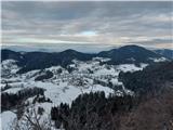 53
53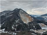 54
54 55
55
Discussion about the trail Tremerje - Kamčič (on the ridge of Mali Slomnik)