Prebold - Reška planina (via Gradišče)
Starting point: Prebold (281 m)
| Lat/Lon: | 46,23663°N 15,09309°E |
| |
Name of path: via Gradišče
Time of walking: 3 h 10 min
Difficulty: partly demanding marked way
Altitude difference: 644 m
Altitude difference po putu: 695 m
Map: Posavsko hribovje - zahodni del 1:50.000
Recommended equipment (summer):
Recommended equipment (winter): ice axe, crampons
Views: 3.802
 | 1 person likes this post |
Access to the starting point:
From the Ljubljana - Celje motorway, take the Šentrupert (from Ljubljana) or Šempeter (from Celje) exit and continue in the direction of Prebold and Trbovlje. Shortly after Prebold, the road to the village of Marija Reka turns off to the right. Turn right here and follow the road for a few 100m to a cross (near which you park in a roadside parking lot), which you can see on the left side of the road.
Path description:
From the road, follow the footpath, which after a few steps goes into the forest and climbs steeply. After about half an hour's walk, the marked, but in places quite overgrown path leads to an undistinguished ridge where the steepness subsides. A little further on, the path from Golava joins us from the left. Continue straight ahead and the path you are walking on starts to climb steeply again. After a while the path leads us to cart track, which we only cross (porly marked). The way forward climbs through a rather overgrown forest and then leads us to a grassy slope with a view. The path along the grassy slope is short, as you soon reach a farm, where you get on the road. Continue along the road as it enters the forest and gently descends. After a few minutes of descending, you reach a crossroads where you continue along the upper left road, which soon leads to the next crossroads at the chapel. Here, continue straight ahead, between the two roads, along the marked path in the direction of the house below Reško mountain pasture. After a few steps of ascent, the path from Prebold joins us from the right. Continue slightly to the left and follow the path, which descends slightly at first and then ascends slightly, until you reach the house under Reško mountain pasture.
From the house, continue along the marked path which, after a short climb, leads to the Church of St Mary. Here you continue on, on the left side of the church and after a few steps you see a marked footpath that branches off the road (straight ahead, direction lookout point). Continue moderately up the cart track, which ends after 15 minutes. The marked but porly surfaced path then climbs steeply. The steep path is a slip hazard in wet and snowy conditions. After a good 20 minutes of steep ascent, the steepness eases and the path leads to a ridge, where you continue to the right. After a few more steps, we reach a viewpoint, which is also the goal of our tour.

Pictures:
 1
1 2
2 3
3 4
4 5
5 6
6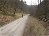 7
7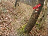 8
8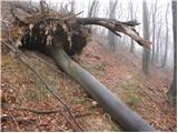 9
9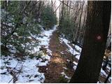 10
10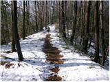 11
11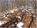 12
12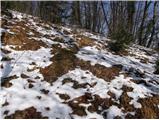 13
13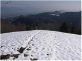 14
14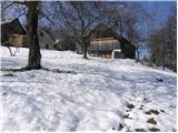 15
15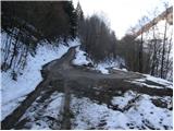 16
16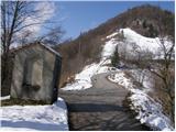 17
17 18
18 19
19 20
20 21
21 22
22 23
23 24
24 25
25 26
26 27
27 28
28 29
29 30
30 31
31 32
32 33
33 34
34 35
35 36
36 37
37 38
38 39
39 40
40 41
41 42
42 43
43 44
44 45
45 46
46 47
47 48
48 49
49 50
50 51
51
Discussion about the trail Prebold - Reška planina (via Gradišče)