Sv.Trojica v Slov. goricah (Ribiška trgovina Som) - Sveta Trojica v Slovenskih goricah
Starting point: Sv.Trojica v Slov. goricah (Ribiška trgovina Som) (238 m)
| Lat/Lon: | 46,56719°N 15,86913°E |
| |
Time of walking: 25 min
Difficulty: no data
Altitude difference: 53 m
Altitude difference po putu: 55 m
Map:
Recommended equipment (summer):
Recommended equipment (winter):
Views: 419
 | 2 people like this post |
Access to the starting point:
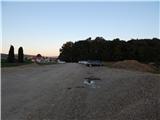
Leave the Pomurje motorway at the Sveta Trojica exit, then follow the signs for Lenart v Slovenskih goricah and Sveta Trojica, and quickly leave the road towards Lenart and turn right towards Sveta Trojica, where you can park at the beginning of the village in the large parking lot near the Som fish shop.
Path description:
From the parking lot, continue in the direction of Trojiško jezero (sometimes Gradiška lake), which is reached after a minute or two walk. Here you continue straight on, walking on the right side of the lake. Continue along the dirt road that leads you along the lake, briefly leaving the lake to the right. When we get back to the lake, we have a nice view towards Lenart v Slovenskih goricah and Pohorje in the background. Continue past Brunarca, then you will reach the three-sided chapel, where you will leave the lakeside path and continue to the right in the direction of the Pomurska mountain trail. After climbing 186 steps, you will reach the Holy Trinity Church, which is located at the highest point of the village of Sveta Trojica in Slovenske gorice.
Description and pictures refer to the situation in August 2020.
Pictures:
 1
1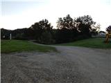 2
2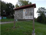 3
3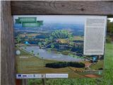 4
4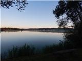 5
5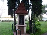 6
6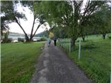 7
7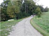 8
8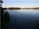 9
9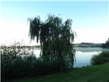 10
10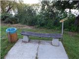 11
11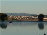 12
12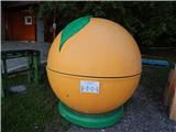 13
13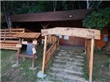 14
14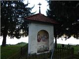 15
15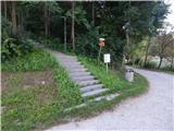 16
16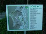 17
17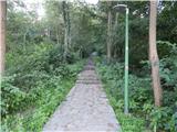 18
18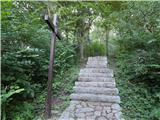 19
19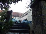 20
20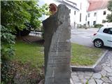 21
21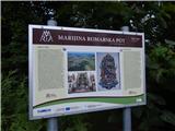 22
22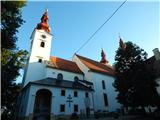 23
23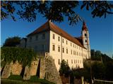 24
24
Discussion about the trail Sv.Trojica v Slov. goricah (Ribiška trgovina Som) - Sveta Trojica v Slovenskih goricah