Štore - Gradiše (above Štore) (via Kompole and Šentjanž)
Starting point: Štore (240 m)
| Lat/Lon: | 46,2213°N 15,3215°E |
| |
Name of path: via Kompole and Šentjanž
Time of walking: 1 h 30 min
Difficulty: easy marked way, easy unmarked way
Altitude difference: 300 m
Altitude difference po putu: 456 m
Map: Celjska kotlina, 1:50000
Recommended equipment (summer):
Recommended equipment (winter):
Views: 236
 | 2 people like this post |
Access to the starting point:
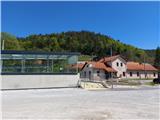
Štore is a settlement southeast of Celje, on the river Voglajna, on the eastern edge of the Celje basin. In the past, the Laška vas - Pečovje mine was important for its development and, along with the Bojanski brook and the southern railway, was fundamental for the iron industry in Štory. The Štore are accessible both by Slovenian Railways and by road from the motorway from the route of Celje or Dramelj. There is ample parking space near the renovated Štore railway station, where there is also the start of a marked hiking trail.
Path description:
The greater part of our trip leads from the starting point along the marked mountain trail Štore - Kompole - Dom na Svetina, which is looked after by PD Železar Štore. At the starting point there is a signpost for Resevna, which initially directs us along the asphalt road towards the bridge over the river Voglajna, and after the bridge the next signpost directs us to the left in the opposite direction of the Voglajne. Before the first residential house, leave the asphalt road and go around the house on the left and follow the mountain path directly along Voglajna to the settlement of Opoka, where you will regain the asphalt surface. At the next bridge you reach a crossroads, where you no longer head towards Resevna, but continue sharp right into the forest along a narrower forest path, partly on the road to Kompole or Sveti Lovrenc, following the signpost to Svetina. From the crossroads onwards, the markings indicate that we are also walking along the XIV Division route. After a few hundred metres we leave the forest. Continue on a moderate ascent alongside the equestrian ranch, the Kompole sports ground and the Špulcer guesthouse. There is a slight descent and soon you reach the centre of Kompole with the church Sveti Lovrenc and the branch school. As we continue downhill, we have a beautiful view of Turn and Babni vrh. Follow the grass cart track up the second hill between the dwelling house on the left and the outbuildings on the right, then follow the asphalt surface to the crossroads by the interesting chapel. Continue left along the tarmac road slightly downhill, then uphill again towards the farmhouse, with the stables on the left again on the forest track. The path continues along a babbling brook to a pasture, where it continues up the pasture cart track to the chapel. Continue right past three or four farmsteads up the tarmac track. Higher up, follow the signpost to Svetina and leave the road and continue sharp left onto a woodland track, following the waymarks until you reach the exit to the meadow/pasture section. The path turns into cart track and under the chapel, through the spacious courtyard of the homestead (formerly a guesthouse), you reach the asphalt road Štore - Svetina. Turn right and walk down the road for about two hundred metres to a fork to the left up a meadow path. Soon you will regain the asphalt surface, which quickly turns into a forest road. After a few hundred metres, signs and markings direct us sharp left up into the forest, but here we leave the marked path and continue along the forest road for about 500 metres to the saddle in front of the hamlet of Zaroviše. At a sharp left turn, leave the road and follow an unmarked path to the right along a vegetated ridge, where after about 100 metres you reach your destination.

Pictures:
 1
1 2
2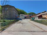 3
3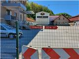 4
4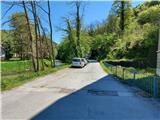 5
5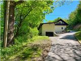 6
6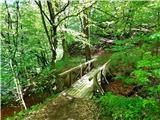 7
7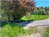 8
8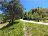 9
9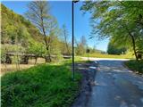 10
10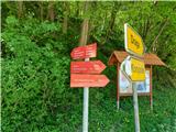 11
11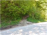 12
12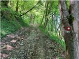 13
13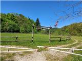 14
14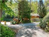 15
15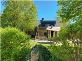 16
16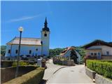 17
17 18
18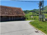 19
19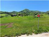 20
20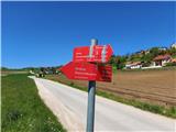 21
21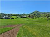 22
22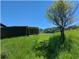 23
23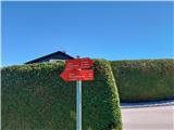 24
24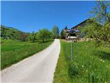 25
25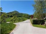 26
26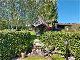 27
27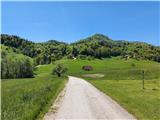 28
28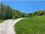 29
29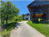 30
30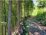 31
31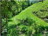 32
32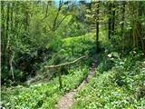 33
33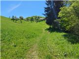 34
34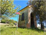 35
35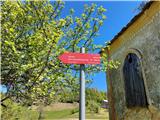 36
36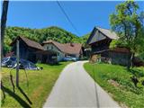 37
37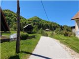 38
38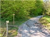 39
39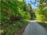 40
40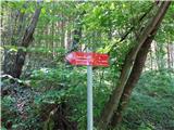 41
41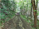 42
42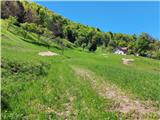 43
43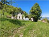 44
44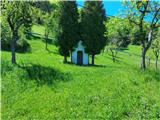 45
45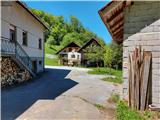 46
46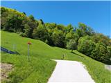 47
47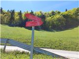 48
48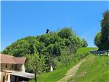 49
49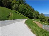 50
50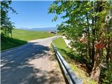 51
51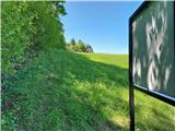 52
52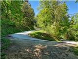 53
53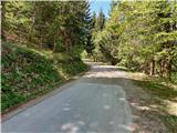 54
54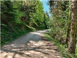 55
55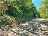 56
56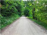 57
57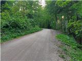 58
58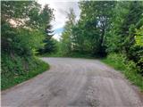 59
59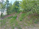 60
60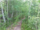 61
61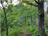 62
62 63
63 64
64 65
65
Discussion about the trail Štore - Gradiše (above Štore) (via Kompole and Šentjanž)