Stoperce - Donačka gora (eastern peak) (harder path)
Starting point: Stoperce (294 m)
| Lat/Lon: | 46,28896°N 15,71569°E |
| |
Name of path: harder path
Time of walking: 2 h 35 min
Difficulty: difficult marked way
Altitude difference: 589 m
Altitude difference po putu: 625 m
Map:
Recommended equipment (summer): helmet
Recommended equipment (winter): helmet, ice axe, crampons
Views: 167
 | 1 person likes this post |
Access to the starting point:
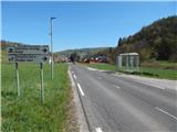
a) Drive to Rogaška Slatina, then continue to Rogatec. In Rogatec, turn left at the roundabout in the direction of Ptuj, then follow the main road to the Brzika Pass, where the road starts to descend. At a lower level, you arrive in Stoperce, where you park in the parking lot next to the local centre.
b) Drive to Majšperk, then follow the signs for Stoperce on Rogatec. When you arrive in Stoperce, park at the Stoperce Home.
Path description:
From the Stoperce Home, walk along the main road towards Rogatec for a short distance, and before the end of the settlement, turn left onto the side road towards Donačka gora. The marked trail continues along the asphalt road from Stoperce to Kupčinji Vrh, where you continue straight ahead or follow the markings at several junctions. Higher up, the road climbs slightly steeper and leads to a hamlet, next to which there is a marked parking area.
Here you continue straight on to a side road (Žetale on the left), along which there are markings Donačka gora. The way forward takes us past a few houses, a water trough, then right to a nearby stream, along which we continue for a short time. The way ahead leads through the woods and ascends crosswise, and as you approach the meadow, go left along the path below. There is some more ascent, and then cross the macadam road, after which you will climb up to Rudi's house within a minute's walk.
From Rudi's house, continue left towards the top of Donačka gora (to the right Sv. Jurij, Rogatec and the source of the Sotla River) and initially walk along the dirt road. From the road, an easier path first branches off to the right to Donačka gora, and we continue along the road to a left serpentine, where we leave the road and continue straight on, following the cart track, which crosses the northern slopes of Donačka gora. There is a short traverse and a climb up to an undistinguished saddle at Joški vrh, where you continue straight on (left Joški vrh), followed by some short descents and ascents on the north slope of Donačka gora. Predel descends cart track to a nearby forest road turnoff, then bear slightly right towards the more difficult route to Donačka Gora.
There is a steeper climb and you reach the next crossroads where you go right towards Donačka gora (left Kupčinji Vrh, straight ahead Vrhe Pass and Žetale), and at the next crossroads go right again.
Continue again in the direction of Donačka gora, and the path gradually changes to steep and, especially in wet conditions, slippery slopes, over which you mostly cross-climb. We then come to a short technically difficult part, where a rope ladder helps us with the steep climb up a rocky slope. When the steep, difficult climb ends, we reach the main ridge Donačka gora, where the route splits.
Continue left (right main summit) and quickly reach the precipitous eastern summit Donačka gora.
Stoperce - Rudi's house 1:20, Rudi's house - eastern peak Donačka gora 1:15.
Description and pictures refer to April 2022.

Pictures:
 1
1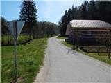 2
2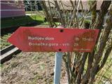 3
3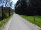 4
4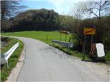 5
5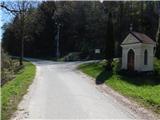 6
6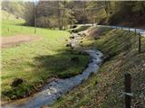 7
7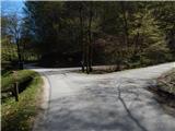 8
8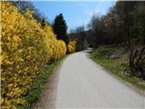 9
9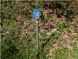 10
10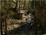 11
11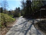 12
12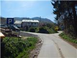 13
13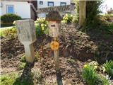 14
14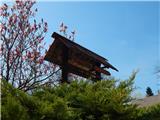 15
15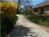 16
16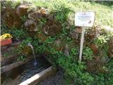 17
17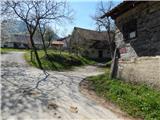 18
18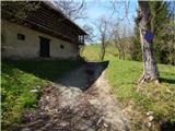 19
19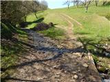 20
20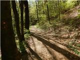 21
21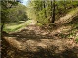 22
22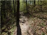 23
23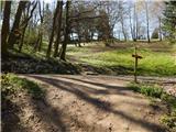 24
24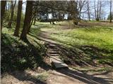 25
25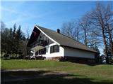 26
26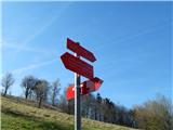 27
27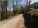 28
28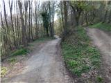 29
29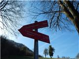 30
30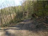 31
31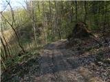 32
32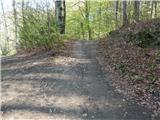 33
33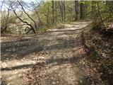 34
34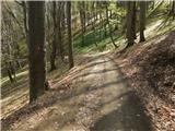 35
35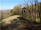 36
36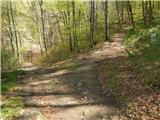 37
37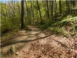 38
38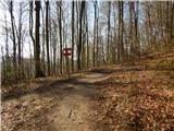 39
39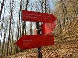 40
40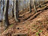 41
41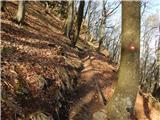 42
42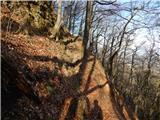 43
43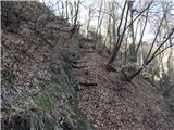 44
44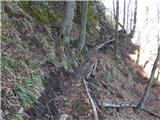 45
45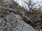 46
46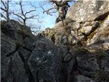 47
47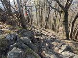 48
48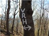 49
49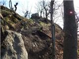 50
50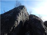 51
51 52
52
Discussion about the trail Stoperce - Donačka gora (eastern peak) (harder path)