Sotina - Planinska koča Rak
Starting point: Sotina (258 m)
| Lat/Lon: | 46,83144°N 16,0497°E |
| |
Time of walking: 1 h
Difficulty: easy unmarked way
Altitude difference: 32 m
Altitude difference po putu: 80 m
Map: Pomurje 1:40.000
Recommended equipment (summer):
Recommended equipment (winter):
Views: 188
 | 1 person likes this post |
Access to the starting point:
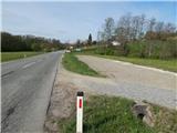
a) Drive to Gederovci (to get here from Radenci or Murska Sobota) and continue driving in the direction of Kuzma. When you arrive in Sotina, pay attention, because the described route starts at the cemetery. Park in the gravel parking area 50 m further from the cemetery parking area.
b) Drive to Kuzma (to get here from Grad, Mačkovci or Petrovci), then continue driving towards Sotina and Austria. When Kuzma ends, there is some climbing and then descending, where you turn left at the junction with the priority road. You quickly arrive at Sotina, where the route described above starts at the cemetery. Park about 50 m before the cemetery in a gravel parking area.
Path description:
From the parking lot, walk along the main road to the signpost marking the beginning of Sotina, a little further on, and before the cemetery, the signs for Planinska koča Rak direct you left onto a less good macadam road that continues between meadows and fields. At a small crossroads, continue straight ahead, and when you reach the woods, go left to follow the signs. Follow the cart track climbing through the forest, and when the path is laid, at the crossroads, continue to the right where the markings also direct you. There is an easy climb, and just before cart track reaches the asphalt road, turn right and continue walking along the forest path, which runs parallel to the road. A little further on, join the road and follow it straight ahead at the crossroads. The scenic route, which leads between occasional houses, then turns left off the road and down onto the grassy cart track. After cart track you pass a hunting observatory, and then the path turns slightly to the right and quickly leads you past a house to an asphalt road, which you follow down to the left, where after a few steps you reach the Nightingale Sports and Recreation Centre.
After the parking lot of the centre, turn right and follow the path to the nearby Rak Mountain Home or Rak Café.
Description and pictures refer to the situation in April 2021.

Pictures:
 1
1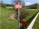 2
2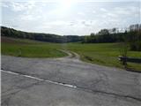 3
3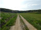 4
4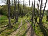 5
5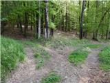 6
6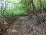 7
7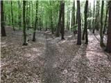 8
8 9
9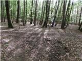 10
10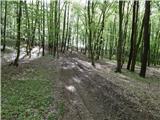 11
11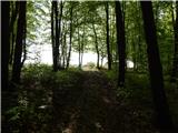 12
12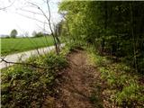 13
13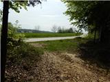 14
14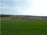 15
15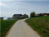 16
16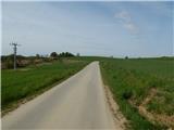 17
17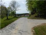 18
18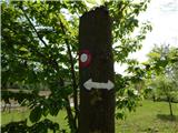 19
19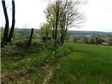 20
20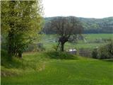 21
21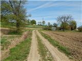 22
22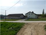 23
23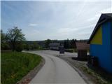 24
24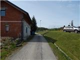 25
25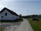 26
26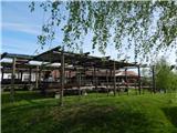 27
27
Discussion about the trail Sotina - Planinska koča Rak