Starting point: Selce (1 m)
Time of walking: 1 h
Difficulty: easy marked way
Altitude difference: 379 m
Altitude difference po putu: 380 m
Map:
Recommended equipment (summer):
Recommended equipment (winter):
Views: 682
 | 1 person likes this post |
Access to the starting point:
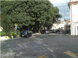
Selce is reached from the Adriatic Motorway. The settlement is located between Crikvenica and Novi Vinodolski. Outside the tourist season you can park in Selce, but in high season it is difficult to find a suitable parking place.
Path description:
The route starts at the main square in Selce, where there is a post office, a bakery and a tourist office. We start up the main road towards Senj. Leave the main road when you see Slavko Jeličića Street on your left, continue along the narrower street and you will reach Maršala Tita Street. Go left again, but only for about ten metres, and then, when you see a street on your right and a staircase with a blue railing, go right. Cross another street and take the stairs to reach the Adriatic Highway, where there is a bus stop. Up to this point, the route was not marked. It is also possible to start the route here, at the bus stop, but there are no suitable parking places nearby.
Behind the bus stop you will see the first marking on a tree. Go up, the path leads you between two stone fences and climbs steeply. There is no sign for a while, but you can orientate yourself along the route of the power line, and you will also cross the two cart track twice while walking along the power line. A little further on, we reach a crossroads where we join the trail from Novi Vinodolski. From here on, the markings are more frequent and clearly visible.
A few minutes after the crossroads, we will leave the stone fence and the path will be laid. Soon we arrive in the lane of bushes, where there is another crossroads where the path from Bribir joins. From the crossroads go left and the path starts to climb steeply. During the ascent, we also get our first view of Vinodol.
A few minutes higher up, the climb ends and the path leads to the Grohotica plateau. Here you can see a beautiful view of Vinodol to the east and the island of Krk to the west. The following markings are mostly on stones, but the occasional cairns is also helpful. There is some more climbing and the path leads us to the top of Drenin.
Most of the path is exposed to the sun and in the summer time to the heat, so I advise against climbing up the path described above.

Pictures:
 1
1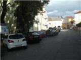 2
2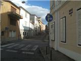 3
3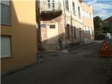 4
4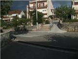 5
5 6
6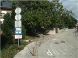 7
7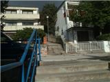 8
8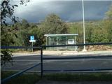 9
9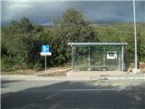 10
10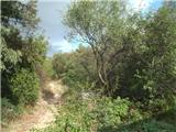 11
11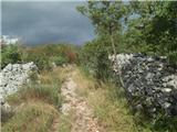 12
12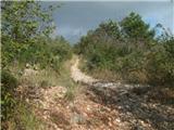 13
13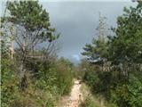 14
14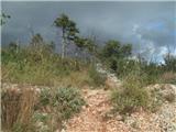 15
15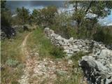 16
16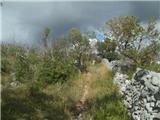 17
17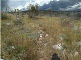 18
18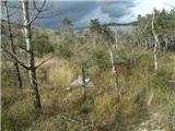 19
19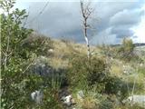 20
20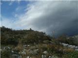 21
21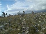 22
22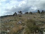 23
23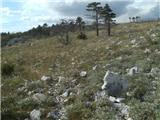 24
24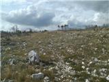 25
25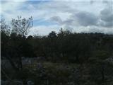 26
26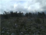 27
27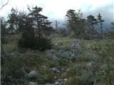 28
28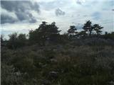 29
29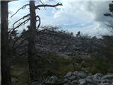 30
30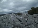 31
31
Discussion about the trail Selce - Drenin