Starting point: Seichenbrunn (1668 m)
| Lat/Lon: | 46,91536°N 12,77544°E |
| |
Time of walking: 3 h
Difficulty: easy marked way
Altitude difference: 903 m
Altitude difference po putu: 930 m
Map:
Recommended equipment (summer):
Recommended equipment (winter): ice axe, crampons
Views: 459
 | 4 people like this post |
Access to the starting point:
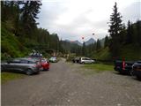
Drive through the Karavanke Tunnel into Austria, then continue to Spittal and on to Lienz (the motorway ends a little after Spittal). We continue along a relatively nice and wide road through the Drava Valley. Shortly before Lienz, at a roundabout, turn right towards Iselsberg and Winklern. The road starts to climb, but then you have to be careful, because soon the road to the Debanttal valley (green sign) branches off to the left. The road to the Debanttal valley becomes a dirt road, and later joins the slightly nicer road from Nußdorf-Debant. Then, driving through the Debanttal valley, follow the signs for hut Lienzer Hütte and Wangenitzseehütte. Follow the road all the way to the lock where you park in a large parking lot (Parkplatz Seichenbrunn).
Path description:
From the parking lot, continue along the macadam road, which is closed to traffic. After a few dozen metres, you will reach a marked crossroads where a path branches off to the right over a bridge towards the Wangenitzseehütte hut. At the crossroads, we continue on the dirt road following the signs "Lienzer Hütte". Shortly afterwards, the trail to the right branches off towards the Lienzer Hütte hut. This trail is half an hour longer than the road. We continue on the dirt road to the left of the Debantbach stream. The road climbs gently all the way and crosses a pasture fence several times. During the summer months, cattle graze along the road. The road then leads past a small hut at mountain pasture Gaimbergalm. We also cross several small tributaries of the aforementioned Debantbach stream. A little higher up, the road leads to a crossroads.
To the right, the road leads to the mountain pasture Hofalm, which is only 100 metres away. At the crossroads we continue straight on along the road towards the Lienzer Hütte hut, from which we have an increasingly fine view of the peaks above the Debanttal valley. Shortly before the hut we come to another marked crossroads.
This time, the footpath to the left branches off towards the Zettersfeld ski resort, and we continue along the road and soon reach hut Lienzer Hütte, from which there is a fine view of the surrounding peaks.
At the hut, continue left past the children's playgrounds and the cross and after a few dozen metres you will reach a marked crossroads. The path to the left leads to the Mirnitzscharte and the Alkuser Rotspitze summit, and we continue to the right following the signs "Hochschober, Leibnitztörl".
From the crossroads, the path runs north-westwards along the thinning trees. The path then climbs along terrain covered with grass and low bushes. Soon we enter the central part of the National Park High Tauern (Nationalpark Hohe Tauern). The trail then leads to another crossroads.
First down to the right, the trail branches off towards the summit of Glödis, and we continue straight on towards the Leibnitztörl saddle. From the crossroads, the path heads west, slowly turns slightly to the left and then climbs slightly steeper up along the stream. A little higher up, the path turns to the right, crosses the stream and leads to a slightly less steep slope. The relatively gentle path then soon crosses the stream again and leads us past a small lake. The path then soon starts to climb again a little steeper and leads us to a marked crossroads.
This time, the trail branches off to the right towards the Hochschober summit and the Schobertörl saddle, and we continue to the left towards the Leibnitztörl saddle. From the crossroads, the path crosses the slope to the south in a gentle ascent and quickly leads to the aforementioned saddle. From the saddle, it is only a short descent to the picturesque lake Gartlsee, from which there is a very fine view of the surrounding peaks.

Pictures:
 1
1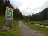 2
2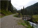 3
3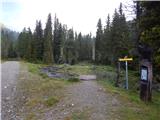 4
4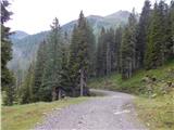 5
5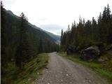 6
6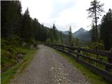 7
7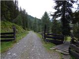 8
8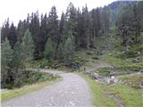 9
9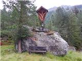 10
10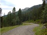 11
11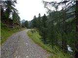 12
12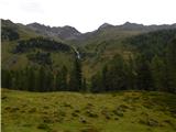 13
13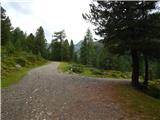 14
14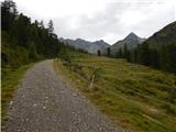 15
15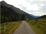 16
16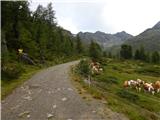 17
17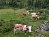 18
18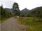 19
19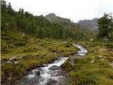 20
20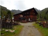 21
21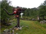 22
22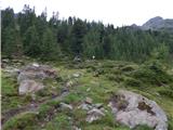 23
23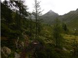 24
24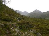 25
25 26
26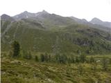 27
27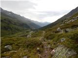 28
28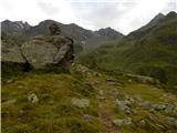 29
29 30
30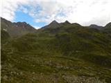 31
31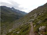 32
32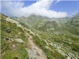 33
33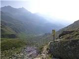 34
34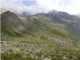 35
35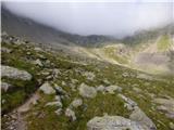 36
36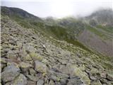 37
37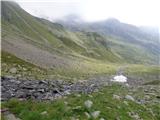 38
38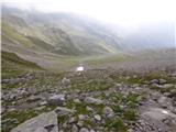 39
39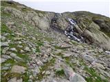 40
40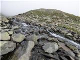 41
41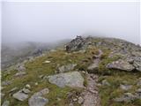 42
42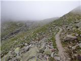 43
43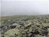 44
44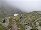 45
45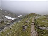 46
46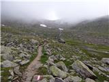 47
47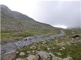 48
48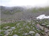 49
49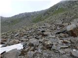 50
50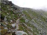 51
51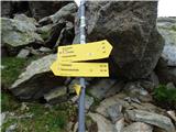 52
52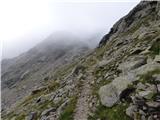 53
53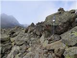 54
54 55
55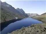 56
56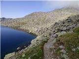 57
57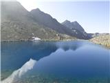 58
58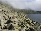 59
59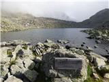 60
60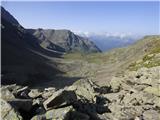 61
61
Discussion about the trail Seichenbrunn - Gartlsee