Starting point: Savica (516 m)
| Lat/Lon: | 46,2735°N 13,9246°E |
| |
Time of walking: 1 h 15 min
Difficulty: easy marked way
Altitude difference: 430 m
Altitude difference po putu: 445 m
Map: TNP 1:50.000
Recommended equipment (summer):
Recommended equipment (winter): ice axe, crampons
Views: 2.290
 | 1 person likes this post |
Access to the starting point:
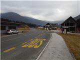
Drive to Bohinjska Bistrica, then continue in the direction of Lake Bohinj. When you reach Savica, the route described above starts at the bus stop. There are no parking spaces at the starting point.
Path description:
After the bus stop, turn right onto a side road which begins to descend gently through the village. First you pass the chapel, then the birthplace of Štefan Rožič, one of the four men of heart who were the first to climb Triglav on 26 August 1778, and a few apartments, and then, after the next chapel, you reach the bridge over the Sava Bohinjka. After the wooden bridge, turn right and you will reach the village of Brod, where you will turn left at the crossroads in the direction of Rudnica. After the "last" house, turn right twice in the direction Rudnica. A steeper ascent follows logging trail, and within a few minutes the ascent leads to a marked crossroads, where we continue on a slightly right path in the direction of the direct route (slightly left of the Mine across the Široko Polica).
The way forward leads us through the forest, where we follow the occasional rare markings, and the path with some views of the Bohinjsk - Tolmin mountains leads us to steeper slopes, where we join Ivan's path.
From the crossroads, we continue to climb crosswise to the right for a short time, and then the path turns sharply to the left, where we quickly arrive at the foot of steep cliffs. After the cliffs, the path slowly turns to the right and gradually becomes less steep. A little further on, we cross a short lookout clearing, and the path behind it leads us into the forest, where we reach a small, slightly different chapel. Here the path turns slightly to the left and climbs gently to the ridge Rudnica, where the path from Stara Fužina and the path over Široko Poliža join from the left.
Continue straight ahead, where the path from Srednja vas joins almost imperceptibly from the right and, along the edge of the forest, we quickly reach the top of Rudnica, which offers a beautiful view of the Upper Bohinj valley and the surrounding mountains.

Pictures:
 1
1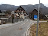 2
2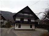 3
3 4
4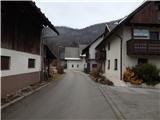 5
5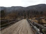 6
6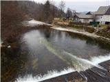 7
7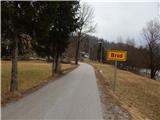 8
8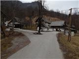 9
9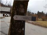 10
10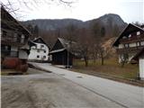 11
11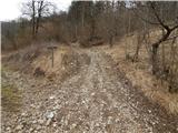 12
12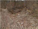 13
13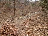 14
14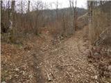 15
15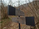 16
16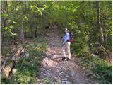 17
17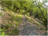 18
18 19
19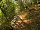 20
20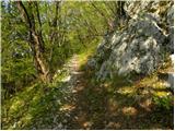 21
21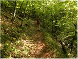 22
22 23
23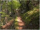 24
24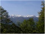 25
25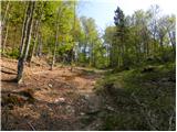 26
26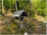 27
27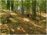 28
28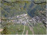 29
29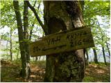 30
30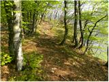 31
31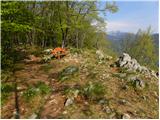 32
32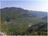 33
33 34
34
Discussion about the trail Savica - Rudnica