Rudijev dom na Donački gori - Donačka gora (eastern peak) (on ridge)
Starting point: Rudijev dom na Donački gori (590 m)
| Lat/Lon: | 46,2644°N 15,7347°E |
| |
Name of path: on ridge
Time of walking: 1 h 5 min
Difficulty: partly demanding marked way
Altitude difference: 293 m
Altitude difference po putu: 335 m
Map:
Recommended equipment (summer):
Recommended equipment (winter): ice axe, crampons
Views: 287
 | 1 person likes this post |
Access to the starting point:
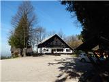
We drive to Rogaška Slatina, then continue our drive to Rogatec. In Rogatec, turn left at the roundabout in the direction of Ptuj, then follow the signs for Donačka gora or Rudi's home. After a few kilometres of climbing, you will arrive at Rudi's home, where you will park in the parking lot.
Path description:
From Rudi's house continue towards the top of Donačka gora and initially walk along the macadam road, from which you soon turn right towards the easier path to Donačka gora (a straight challenging path to Donačka gora and Žetale).
The way forward climbs moderately through the forest at first, but after a few minutes it switches to steep slopes and becomes steeper. Further on, we climb along a well-maintained mountain trail, which climbs in many switchbacks. Higher up, you pass a memorial plaque commemorating Ernst Froelich, who in 1853 blazed the trail to Donačka gora, which was the first marked trail in Slovenia. After the memorial plaque, there is a few minutes' climb up the north-west slope of Donačka gora, then you reach a ridge where you go left. Climb up and along the forested ridge and within a few minutes reach the higher, western summit of Donačka gora.
From the western summit, continue along the marked ridge path towards Žetale. After a short descent, the ridge path retreats slightly to the right and then continues with a few short ascents and descents, occasionally on a rather steep slope, where there is a greater risk of slipping, especially in wet conditions. After about 20 minutes of walking along and along the ridge, we reach a marked crossroads where the difficult path to Žetale and Kupčinji Vrh branches off to the left, and we continue straight on and after some 10 steps of further walking we reach the precipitous eastern summit of Donačka gora.
Rudijev dom - west peak Donačka gora 0:45, west peak Donačka gora - east peak Donačka gora 0:20.
Description and pictures refer to April 2022.

Pictures:
 1
1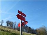 2
2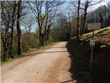 3
3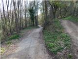 4
4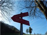 5
5 6
6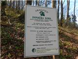 7
7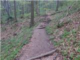 8
8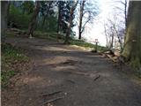 9
9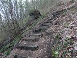 10
10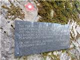 11
11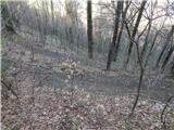 12
12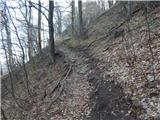 13
13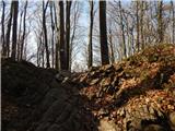 14
14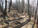 15
15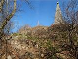 16
16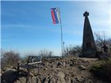 17
17 18
18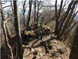 19
19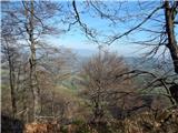 20
20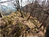 21
21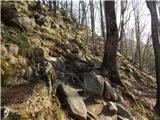 22
22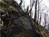 23
23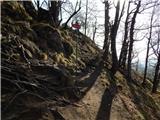 24
24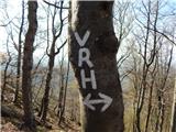 25
25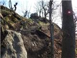 26
26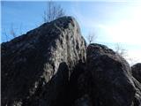 27
27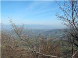 28
28
Discussion about the trail Rudijev dom na Donački gori - Donačka gora (eastern peak) (on ridge)