Rifugio Sorgenti del Piave - Monte Peralba (via west ridge)
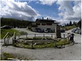
Starting point: Rifugio Sorgenti del Piave (1830 m)
| Lat/Lon: | 46,6234°N 12,7097°E |
| |
Name of path: via west ridge
Time of walking: 2 h 50 min
Difficulty: partly demanding marked way
Altitude difference: 864 m
Altitude difference po putu: 870 m
Map: Tabacco 1
Recommended equipment (summer):
Recommended equipment (winter): ice axe, crampons
Views: 11.693
 | 4 people like this post |
Access to the starting point:
From the Trbiž/Tarvisio-Viedem/Udine motorway, take the Tolmezzo exit and follow the road towards the town. Near Tolmezzo, leave the main road leading to the Pso di Croce Carnico Pass/Plockenpass and head towards Villa Santina in Ampezzo. In Villa Santina, at the roundabout, go straight ahead following the signs Raveo, Rigolato. Follow this road until Cima Sapadda, where you turn right towards the summit of Monte Peralba. Follow the rather narrow and steep road to the parking lot of the Sorgenti del Piave hut.
Path description:
From the hut, continue westwards following the signs "Monte Peralba, Ovest Normale". The wide path initially leads along grassy terrain next to sparse woodland, then turns right into the woods and begins to climb gently along a narrow track towards the north-west. The path then climbs steeper and steeper and leads to the north side of the main ridge. The path turns right here and climbs a few more times through the rare dwarf pines. In a few places the slope is very steep, so some caution is needed when ascending. The path then leads out of dwarf pines and starts to climb along the ridge on a slightly rubbly path to the east. At the last part the path turns to the right and there is a short, slightly steeper climb to the summit.
Pictures:
 1
1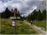 2
2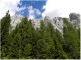 3
3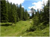 4
4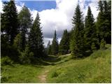 5
5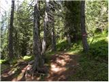 6
6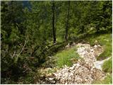 7
7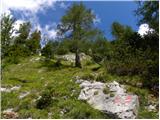 8
8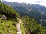 9
9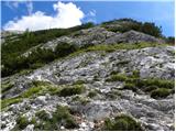 10
10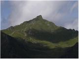 11
11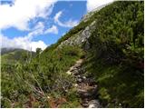 12
12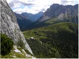 13
13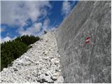 14
14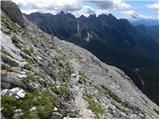 15
15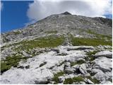 16
16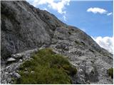 17
17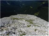 18
18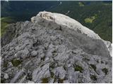 19
19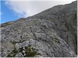 20
20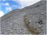 21
21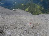 22
22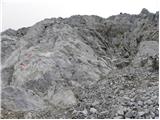 23
23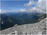 24
24 25
25
Discussion about the trail Rifugio Sorgenti del Piave - Monte Peralba (via west ridge)
|
| Pi_is_exactly_36. 04. 2020 |
Z mesta nekje pri vrhu slike 14 se odpre pogled na dolino, kjer se vidi ogromno hektarjev uničenega gozda. Podrto drevje je na obeh straneh doline, če se s tega mesta gleda proti zahodu. Verjetno je to še iz nevihtnega obdobja iz oktobra / novembra 2018.
|
|
|