Rakitna - Županov vrh (via Reber)
Starting point: Rakitna (789 m)
| Lat/Lon: | 45,8907°N 14,4397°E |
| |
Name of path: via Reber
Time of walking: 50 min
Difficulty: easy unmarked way
Altitude difference: 210 m
Altitude difference po putu: 220 m
Map: Ljubljana - okolica 1:50.000
Recommended equipment (summer):
Recommended equipment (winter):
Views: 2.301
 | 1 person likes this post |
Access to the starting point:
a) From the Ljubljana - Koper motorway, take the Brezovica exit and then continue in the direction of Podpeč (Podpeč can also be reached from Črna vas or Ig). In Podpeč, continue in the direction of Borovnica, Krima and Rakitna and continue along the edge of the Ljubljana Moor for a short distance before the signs for Rakitna direct you to the left onto a steeply ascending road. The road then leads through Preserje, where it also begins to descend. After a short descent, continue left towards Krima and Rakitna, and we then follow the mostly ascending road to Rakitna (after the turnoff for Krim, the road starts to descend), where we park in the parking lot next to the church.
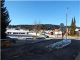
b) First drive to Cerknica, then continue in the direction of Begunje, and when you arrive in Begunje follow the signs for Rakitna. When you arrive at Rakitna, park in the parking lot next to the parish church in Rakitna.
Path description:
From the parking lot at the church on Rakitna, continue along the main asphalt road towards Ljubljana. As you walk along the road, you will pass a primary school and an outdoor school playground, and then you will come to a small crossroads where you will leave the main road and continue to the right.
Leave the main road just in front of a house with an advertisement for Gostilna pri Mara. The narrow asphalt road you follow immediately splits into two parts. Continue along the road, which passes a larger brick chapel on the left and which leads us past a few houses on a slight incline. The road soon turns more to the left and ends at the "last" house, or turns into two cart track.
Continue along the slightly right-hand cart track, which begins to climb through rolling hay meadows. After a few minutes of gentle ascent, the path leads past a hunting observation post into the woods, through which it gradually begins to climb steeply to the left. Higher up, the path leads us out of the forest, to the viewing slopes below the summit of Reber.
Here, where the route "Mesnice - Županov vrh (path over the Reber)" joins from the left, continue sharp right into the forest, or initially into the lane of bushes. The trail, along which you will see some blue-yellow markings, continues along the ridge, where you will soon reach the indistinct and forested summit of Reber (923 m).
Continue along the forest ridge trail, which, apart from a slight initial descent, ascends gently for the most part. When the path is fully laid out, it leads out of the forest, from where a beautiful view opens up towards the nearby Krim and the Kamink Savinja Alps. When the trail returns to the forest, another trail with Rakitna joins us from the right, and we continue along cart track, which a little further on turns left onto the grassy slope of Župan's Peak. There is some walking, and then the path climbs moderately to the nearby summit, from which we have a beautiful view that reaches out on all sides, in good weather even to Snežnik.
Description and pictures refer to the situation in 2015 (January).

We can extend the trip to the following destinations: Rotovc
Pictures:
 1
1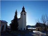 2
2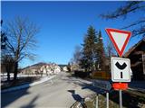 3
3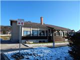 4
4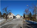 5
5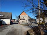 6
6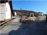 7
7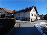 8
8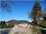 9
9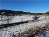 10
10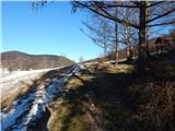 11
11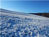 12
12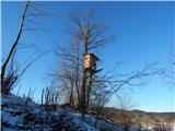 13
13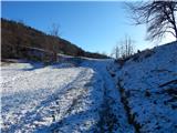 14
14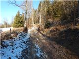 15
15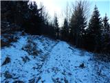 16
16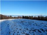 17
17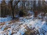 18
18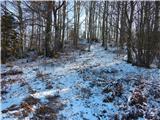 19
19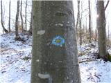 20
20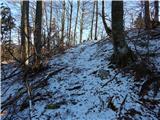 21
21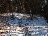 22
22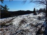 23
23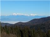 24
24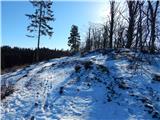 25
25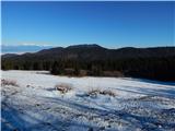 26
26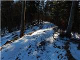 27
27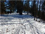 28
28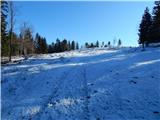 29
29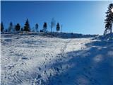 30
30 31
31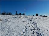 32
32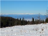 33
33 34
34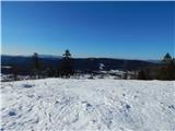 35
35
Discussion about the trail Rakitna - Županov vrh (via Reber)