Radlje ob Dravi - Kapunar / Kapunerkogel (on unmarked path)
Starting point: Radlje ob Dravi (374 m)
| Lat/Lon: | 46,6144°N 15,225°E |
| |
Name of path: on unmarked path
Time of walking: 2 h 15 min
Difficulty: easy unmarked way
Altitude difference: 677 m
Altitude difference po putu: 685 m
Map: Pohorje - izletniška karta 1:50.000
Recommended equipment (summer):
Recommended equipment (winter): ice axe, crampons
Views: 437
 | 1 person likes this post |
Access to the starting point:
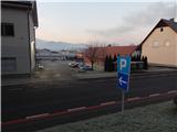
a) Drive to Dravograd, then continue to Maribor. When you arrive in Radlje ob Dravi, turn left at the junction between the Hofer and Lidl stores in the direction of the Radelj Pass and the centre of Radelj ob Dravi. Continue along the road that leads through the centre of the town (left Austria via Radlje Pass) and follow it to the parish church of St. Michael, where you will see red mountain signs along the road. Park in one of the car parks in Radlje ob Dravi, but be careful, as some car parks only allow parking for up to 2 hours.
b) From Maribor, follow the Drava Valley towards Dravograd, leaving the main road before Radlje ob Dravi, where the signs for this place direct you to the right. Continue past the cemetery, the health centre and the police station, and then you will see the red mountain signs on the right near the parish church. Park in one of the car parks in Radlje ob Dravi, but be careful as some car parks only allow parking for up to 2 hours.
Path description:
From the starting point, take the path in the direction of Župank and Kapunar, where you will first pass a signboard and the parish church of St. Michael, and a little further on you will pass the Rosenhof. The road you are climbing soon turns left, and just a few steps further on the signs direct you to a sharp right onto a narrower road, and from there you will immediately turn left onto the originally marked path. After a few minutes of climbing, we reach a dirt road, and we continue up to the left (straight up the marked path to Kapunar, right the path past Župank). We continue along the wide cart track, which is soon joined by a nearby trim trail. Follow the wide track along the western slopes of Perkolica to where the trim track turns left and descends gently to a vegetated torrential gully. On the other side, climb steeply and join the marked E6 trail, but do not follow it for long. For the practice of trim track 15 (push-ups or push-ups), the marked path curves slightly to the left, and we continue slightly to the right, on an unmarked but well-traced beaten track, which continues through the forest and crosses cart track a little higher up. Higher up, cross a dirt road, and the beaten track climbs partly on cart track and partly on a forest track. After a while you reach the waymarked path, which you left at the water tower, and follow it up to the dirt road.
Follow the road to the right, and at the next crossroads follow the markings for Kapunar. It is a relatively long walk along the dirt road, which you follow to the former guardhouse, now used by radio amateurs. From the guardhouse, where the registration box is located, continue sharp left in the direction of hut Kapunerhütte, then leave the marked path at a suitable point and climb to the top of Kapunar along one of several faint paths leading to the summit.
Description and pictures refer to the situation in 2018 (December).

Pictures:
 1
1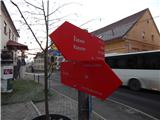 2
2 3
3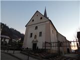 4
4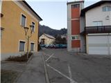 5
5 6
6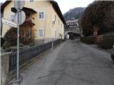 7
7 8
8 9
9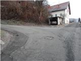 10
10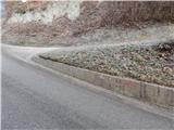 11
11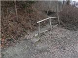 12
12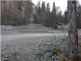 13
13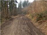 14
14 15
15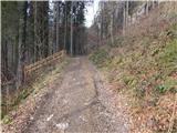 16
16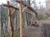 17
17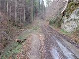 18
18 19
19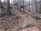 20
20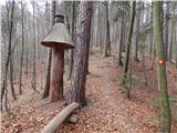 21
21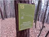 22
22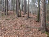 23
23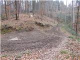 24
24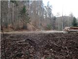 25
25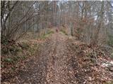 26
26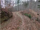 27
27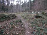 28
28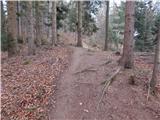 29
29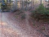 30
30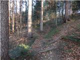 31
31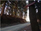 32
32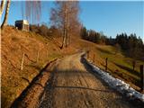 33
33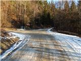 34
34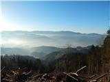 35
35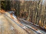 36
36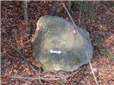 37
37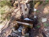 38
38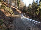 39
39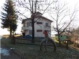 40
40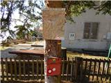 41
41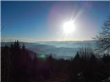 42
42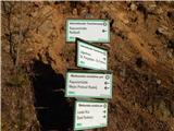 43
43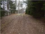 44
44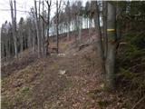 45
45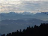 46
46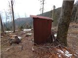 47
47 48
48 49
49 50
50
Discussion about the trail Radlje ob Dravi - Kapunar / Kapunerkogel (on unmarked path)