Prevalje - Hom (above Prevalje)
Starting point: Prevalje (409 m)
| Lat/Lon: | 46,5441°N 14,9319°E |
| |
Time of walking: 3 h
Difficulty: easy unmarked way
Altitude difference: 784 m
Altitude difference po putu: 800 m
Map: Koroška 1:50.000
Recommended equipment (summer):
Recommended equipment (winter): ice axe, crampons
Views: 1.340
 | 1 person likes this post |
Access to the starting point:
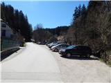
From Mežica, Border crossing Holmec or Raven na Koroškem take the road to Prevalje, where between the Hofer and Eurospin shops, by the Brančurnik Inn, turn onto a side road that continues south. At the point where we leave the main road there is a mountain sign for Uršlja gora, but we park just a little further on in a larger gravel parking lot.
Path description:
From the starting point, continue along the asphalt road towards Uršlje Gora. At first, walk along the Barbarski brook, and at the crossroads follow the signs for Uršlja gora. Higher up, you will get a nice view of Uršlja gora and Hom, and also of Pec in the rear view. In the middle of the village of Podkraj, at the signpost, the path turns right and continues along the dirt road. From the macadam road, soon turn slightly left, onto a marked footpath that continues through the forest. While walking through the forest, the path leads past the Krištan's Cross and then back to the road, which you follow at the crossroads in the direction of Uršlje Gora.
Higher up, the path from Raven na Koroškem joins us on the left. Continue following the signs for Uršlja gora and Naravske ledine. After the Savinc homestead, at the part where the road crosses two successive streams, the trail splits.
Continue along the right-hand path in the direction of Naravske ledine past Godec (continue along Uršlja gora and Naravske ledine along the road). The path continues along cart track, which follows a stream. Cross the stream a little further on and turn sharp right and follow cart track across to the dirt road. When you reach the road, continue sharp left (Ljubenc homestead on the right), then follow the road to a larger meadow below the top of Homa. Here the road turns left and returns to the forest. Follow the road for a few minutes, then reach a crossroads where you continue along the road to the right, where the markings end (the mountain trail continues between the left and right roads).
Continue in the direction of Obretanovo and Kovs Farm, where you will quickly emerge from the forest along a gently sloping road to the aforementioned meadow below Hom. Walk to a small pass where the road to Kovs farm branches off to the right, and we continue slightly to the right on the wide cart track road, which continues to the left of the sign. After a few steps, go slightly right from cart track to the older logging trail, which starts to climb the slope straight up. Higher up, cross the newer cart track, and we continue on the old, partly overgrown logging trail. This steep path, which passes through the forest and from which only occasionally opens up a small view to the west, is then followed to the top of Homa, where there is a registration box. Description and figures refer to the situation in 2018 (April).

Pictures:
 1
1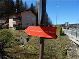 2
2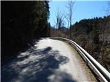 3
3 4
4 5
5 6
6 7
7 8
8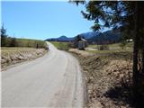 9
9 10
10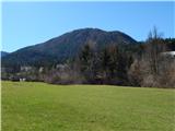 11
11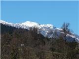 12
12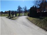 13
13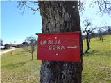 14
14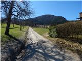 15
15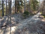 16
16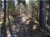 17
17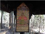 18
18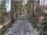 19
19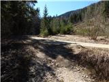 20
20 21
21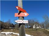 22
22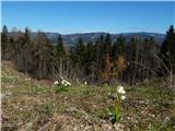 23
23 24
24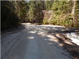 25
25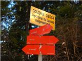 26
26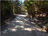 27
27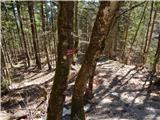 28
28 29
29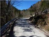 30
30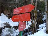 31
31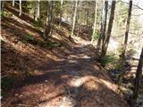 32
32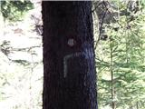 33
33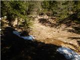 34
34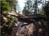 35
35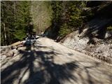 36
36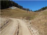 37
37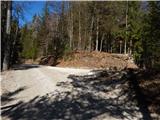 38
38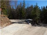 39
39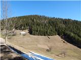 40
40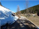 41
41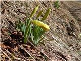 42
42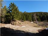 43
43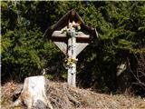 44
44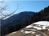 45
45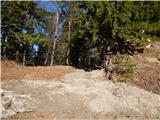 46
46 47
47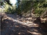 48
48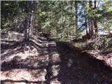 49
49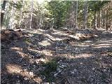 50
50 51
51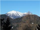 52
52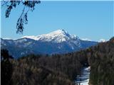 53
53 54
54 55
55 56
56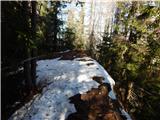 57
57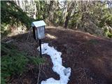 58
58 59
59
Discussion about the trail Prevalje - Hom (above Prevalje)