Starting point: Polja (1028 m)
| Lat/Lon: | 46,5085°N 13,751°E |
| |
Time of walking: 1 h 40 min
Difficulty: easy unmarked way
Altitude difference: 407 m
Altitude difference po putu: 415 m
Map: Kranjska Gora 1:30.000
Recommended equipment (summer):
Recommended equipment (winter): ice axe, crampons
Views: 1.350
 | 2 people like this post |
Access to the starting point:
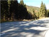
a) First drive to Kranjska Gora, then continue driving towards Rateče. In Podkoren turn right towards the Korensko sedlo pass. Above Podkoren, the road turns sharp left and then crosses the slopes to the left for a while. About 50 metres before the 1 km road marker, a forest road branches off to the left, which you turn onto and park alongside in a suitable roadside space.
b) Via Border crossing Predel, drive into Itali, then continue to Trbiž / Tarvisio and on to Rateci. At Rateče go straight on, then at Podkoren turn left towards Austria. Above Podkoren, the road turns sharp left and then crosses the slopes to the left for a while. About 50 metres before the 1 km road marker, a forest road forks off to the left, which you turn onto and park alongside in a suitable roadside space.
Path description:
From the starting point, continue along the forest road, which turns semicircularly to the left and leads you along the pasture. The road, which begins to climb gently to moderately after the bend, soon crosses the small stream Kališnik, and then slowly turns more and more to the right. Higher up, you reach a lookout point, which offers a beautiful view towards Kranjska Gora and part of the Julian Alps. Cross a pasture fence, and immediately after this crossing continue to the right on the partly overgrown cart track, which climbs crosswise above the road. Climb the overgrown cart track for a few minutes, then cart track turns into dense forest, where it is more easily traversed. Higher up, at the part where cart track is lost in the grass, continue to the right and in a few steps join the path leading from Rateč.
Further on, we climb up the area called Lomiči, where in several grassy places we can see old, mostly rather worn out, cairns. As we climb along this section, we often get a good view of Julian Alps as we look back, and higher up we reach a macadam road, which we follow to the left (the right-hand side of the road soon ends). We climb along the road for a few minutes, then reach a crossroads, where we continue along the right-hand road (Rateče and Ofen to the left, Petelinjek slightly to the right). From the crossroads there is only a short climb and the path leads to the transmitters at the top of Kališje.
Description and pictures refer to the situation in 2016 (October).

Pictures:
 1
1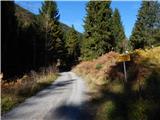 2
2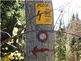 3
3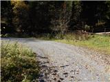 4
4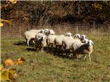 5
5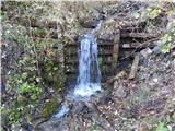 6
6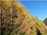 7
7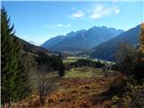 8
8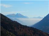 9
9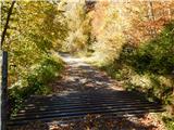 10
10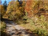 11
11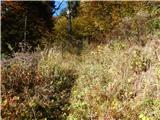 12
12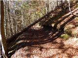 13
13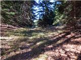 14
14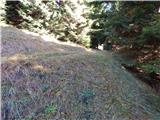 15
15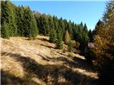 16
16 17
17 18
18 19
19 20
20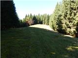 21
21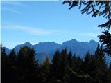 22
22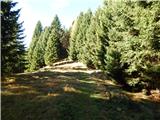 23
23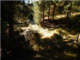 24
24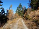 25
25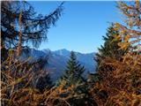 26
26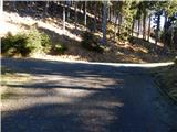 27
27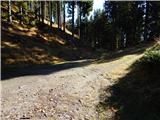 28
28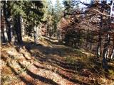 29
29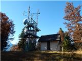 30
30 31
31
Discussion about the trail Polja - Kališje