Plockenpass - Monte Floriz
Starting point: Plockenpass (1360 m)
| Lat/Lon: | 46,6027°N 12,9447°E |
| |
Time of walking: 3 h
Difficulty: difficult marked way
Altitude difference: 824 m
Altitude difference po putu: 900 m
Map: Tabacco 9
Recommended equipment (summer):
Recommended equipment (winter): ice axe, crampons
Views: 4.611
 | 2 people like this post |
Access to the starting point:
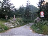
From Trbiz/Tarvisio, take the motorway to Udine/Vidmo. Leave the motorway at Carnico and first follow signs for Tolmezzo, then signs for Austria and the Pso di Croce Carnico Pass / Plockenpass. On the Italian side of the pass, park in a large parking lot.
Path description:
At the parking lot, take the narrow road marked Rifuggio Marinelli (route 146). After a few dozen metres, you will reach a crossroads where you turn right onto a military mulatier, which you then follow up through sparse woodland and meadows below the steep slopes of mountain Creta di Collinetta (2238m). The military mulatier becomes a track and soon you will reach a crossroads where the path to the top of the mountain branches off to the right. We continue on the left path, which continues to climb gently over meadows. On a small plain, the path to Cresta Verde (2150m) branches off to the right. We continue along the 146 towards the Marinelli hut, which is still less than two hours away. Here the path becomes a little steeper and climbs through slightly overgrown dwarf pines and tall grass. Once you come out of dwarf pines, the path becomes more gentle and a path branches off to the right to Creta di Collina (2659m). Here, crossing quite steep slopes, you start to descend, and some fixed safety gear help you. Then we descend through a natural window and cross steep slopes covered with nettles, which brings us to a junction. The right-hand path leads to Cima di Mezzo (2713m), and we continue on the left-hand path towards the hut. The path climbs again through meadows and just before the hut we reach a mountain road closed to traffic, from where we can see Monte Coglians. The road soon ends and it is only a few minutes of steep climbing to reach the hut.
From the hut, continue left along route 174, initially climbing slightly on a grassy ridge. There is a short descent and then a final climb to the summit.

Pictures:
 1
1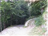 2
2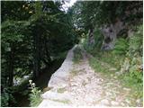 3
3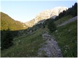 4
4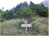 5
5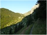 6
6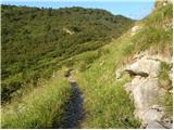 7
7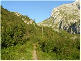 8
8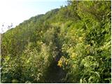 9
9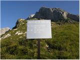 10
10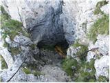 11
11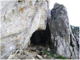 12
12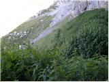 13
13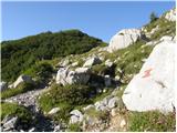 14
14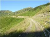 15
15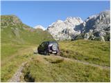 16
16 17
17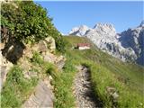 18
18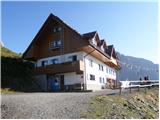 19
19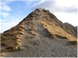 20
20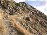 21
21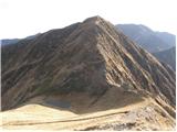 22
22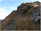 23
23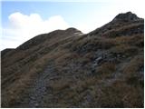 24
24 25
25
Discussion about the trail Plockenpass - Monte Floriz