Plave - Zavetišče na Koradi
Starting point: Plave (100 m)
| Lat/Lon: | 46,0425°N 13,5863°E |
| |
Time of walking: 2 h 20 min
Difficulty: easy marked way
Altitude difference: 703 m
Altitude difference po putu: 703 m
Map: Goriška 1:50.000
Recommended equipment (summer):
Recommended equipment (winter):
Views: 8.592
 | 1 person likes this post |
Access to the starting point:
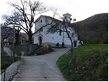
From Nova Gorica, drive to Tolmin or vice versa. In the village Plave turn left (from the route of Tolmin turn right), cross the bridge and then at the crossroads after the bridge, continue straight up and follow the road to the church by which you park in a suitable parking space.
Path description:
Shortly after the church, at the last house in the village, the road ends and turns into cart track, which turns right and begins a moderate climb through the forest. Cart track starts to climb steeply a little higher and after a good half an hour's walk leads us to a forest road. After about 15 minutes of walking along the road, we see a marking by a small stream, which directs us upwards to the left. There are a few steep steps, and then we continue our ascent along a moderately steep forest path. The path, which then becomes even more sloping, leads us by a pleasant little spring to a forest road that comes from the village of Zamedveje. Continue along the road, which climbs slightly and after a few minutes of further walking leads us to a small hamlet where markings direct us left between the houses up. The way ahead climbs moderately, partly on a grassy slope and partly through the forest. At the top of this ascent you reach an asphalted road where you continue right, but only for a good 20m. After 20m, signs direct us left up a steep climb, across a grassy slope, to the next road. Continue left along the road, which turns right and goes into the forest. In the wods, a path branches off the road to the left uphill to the church of St Genderka, and we continue along the road, which again leaves the wods and turns onto a grassy slope. Just a little further on, we come to a parking lot, where a worse road branches off to the left uphill, which leads us after a 100m walk to the shelter at Korada.

Pictures:
 1
1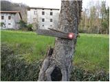 2
2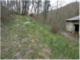 3
3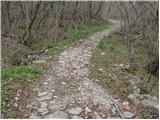 4
4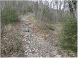 5
5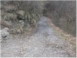 6
6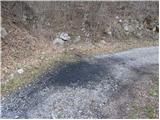 7
7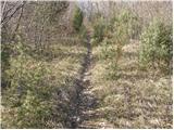 8
8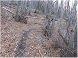 9
9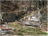 10
10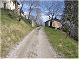 11
11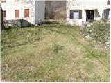 12
12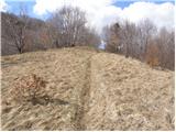 13
13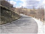 14
14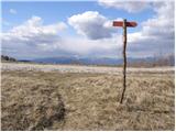 15
15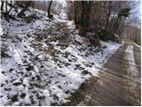 16
16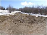 17
17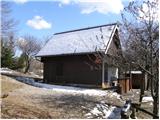 18
18
Discussion about the trail Plave - Zavetišče na Koradi
|
| marinka6716. 03. 2016 |
Planiramo, da bi poleti iz Bohinja do Plav prišli z vlakom, nato pa od cerkve na Korado. Ali mi kdo lahko pove, koliko časa potrebujemo od žel. postaje Plave do cerkve, oz. ali se naj odpravimo kar čez Zamedvejo? Saj izgubili se verjetno ne bomo, malce bi pa radi splanirali povratek.  Koča pa verjetno poleti obratuje? Hvala.
|
|
|
|
| marinka6723. 04. 2016 |
Če se bo kdo odločil in mi odgovoril, bom zelo hvaležna.... 
|
|
|
|
| marinka6724. 04. 2016 |
Oh, to je pa res blizu, hvala.
|
|
|
|
| ibresc1. 05. 2019 |
Zakaj so na zemljevidu Korade italijanska imena, ne pa slovenska?
|
|
|