Planina Zajavornik - Viševnik
Starting point: Planina Zajavornik (1292 m)
| Lat/Lon: | 46,3629°N 13,9491°E |
| |
Time of walking: 3 h 30 min
Difficulty: partly demanding marked way
Altitude difference: 758 m
Altitude difference po putu: 900 m
Map: TNP 1:50.000
Recommended equipment (summer):
Recommended equipment (winter): ice axe, crampons
Views: 11.357
 | 2 people like this post |
Access to the starting point:
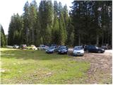
From the motorway Ljubljana - Jesenice take the exit Lesce and follow the road in the direction of Bled, where you will be directed to the right at the semaphorised crossroads marked for Pokljuka. Follow this road, which in the lower part takes us through a few villages and later starts to climb steeply, to Mrzle Studenec (a mountain located just 50m after the junction where the road to Bohinj branches off to the left). In the middle of the mountain pasture, a road branches off the main road to the right, leading to Medvedova konte, the Pri Rupah monument and mountain pasture Zajavornik. Turn right here and follow the road towards mountain pasture Zajavornik at the following crossroads. The road then leads to a parking area near mountain pasture Zajavornik.
Path description:
From the parking lot, follow the footpath towards Blejska hut. The path, which at first climbs gently through the spruce forest, crosses a forest road a little higher up, after which we are soon joined on the left by the path from the NOB monument (Pri Rupah). The fairly wide path, which is always surrounded by spruce forests, leads us higher up to the next crossroads, where we continue to the left in the direction of Lipance (to the right, Medvedova konta). The ascent continues along the very wide cart track, which leads us in a slight ascent to the mountain pasture grazing area of Lipanca in a few minutes. Here the path turns right and leads us in a moderate ascent along the right-hand lower edge of the above-mentioned mountain pasture. This is followed by crossing a grassy slope and the path which leads us back into the forest makes a sharp right turn at the NOB memorial plaque, after which we come to the shepherd's and mountain huts at mountain pasture Lipanca.
From the hut, continue left in the direction of Viševnik and Mrežce along the path, from which the path to Rudné Polje soon branches off to the left. Continue straight ahead and after a short ascent a moderately steep path leads to the next crossroads, where you continue in the direction of Viševnik (Mrežce - steep path on the right). The path then crosses an avalanche area in a slight downhill slope in unfavourable conditions and starts to climb slightly on the other side. The path climbs through increasingly sparse forest and soon leads to a crossroads below the summit of Mrežce.
Continue left (right Mrežce 15 minutes) along the path which crosses the southern slopes of a lesser-known peak (Vrh Razora), after which you reach the next crossroads.
Here the path to Debeli vrh branches off to the right, and we continue slightly to the left along a path that passes the aforementioned peak on the left. With views of the Pokljuka plateau and the Lower Bohinj Mountains, we cross the occasional steeper slopes for a while, and then, after the second fork of the Debeli vrh trail to the right, we reach Solnice (at Solnice is the lowest point of the ridge between Tosec and Debelo Pja).
From Solnice, we have a beautiful view of Krma and the mountains that rise steeply above it. The path continues into the Blejsko konto (the valley between Veliki Selišnik and the Draški rim), where it climbs first gently and then steeply. After a short steep climb, the path quickly descends and leads to the plateau world south of the Draško rim. There are a few minutes of gentle ascent, then a few 10 steps down to the next crossroads, where you continue right (straight down Rudno polje) in the direction of Srenjski preval and Viševnik, reaching this after a few minutes of further walking. From Srenjski preval continue left (straight down Jezerce, right Studorski preval and Mali Draški vrh) along the path which climbs crosswise over a relatively crumbly slope (slip hazard). Higher up the path passes to the west side of the ridge and becomes slightly flatter. This is followed by a cross-climb along a path that runs along the main ridge of Viševnik. Just a few metres below the summit, the path crosses an even shorter exposed steel cable, and then, without any major problems, it reaches the top of Viševnik.

Pictures:
 1
1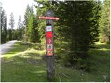 2
2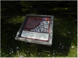 3
3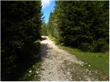 4
4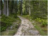 5
5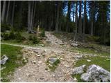 6
6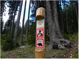 7
7 8
8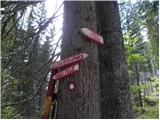 9
9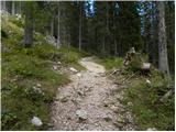 10
10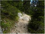 11
11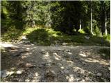 12
12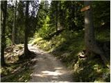 13
13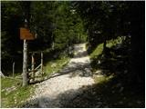 14
14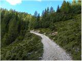 15
15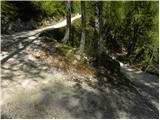 16
16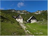 17
17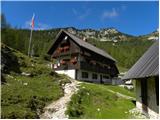 18
18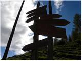 19
19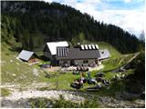 20
20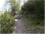 21
21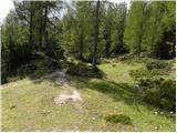 22
22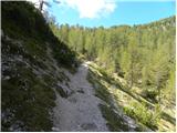 23
23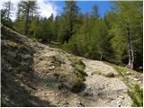 24
24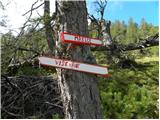 25
25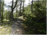 26
26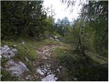 27
27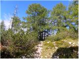 28
28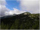 29
29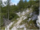 30
30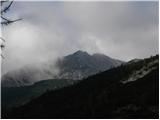 31
31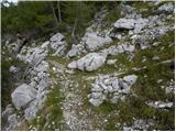 32
32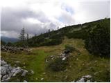 33
33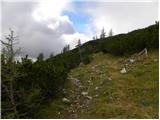 34
34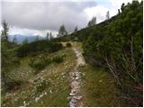 35
35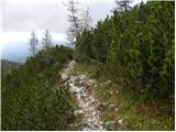 36
36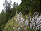 37
37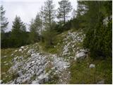 38
38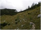 39
39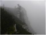 40
40 41
41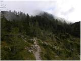 42
42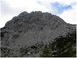 43
43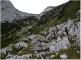 44
44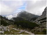 45
45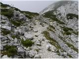 46
46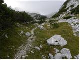 47
47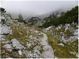 48
48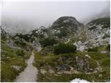 49
49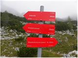 50
50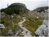 51
51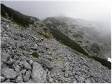 52
52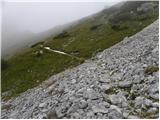 53
53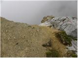 54
54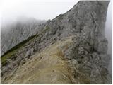 55
55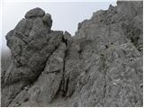 56
56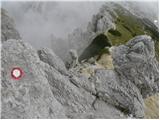 57
57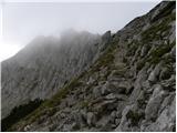 58
58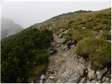 59
59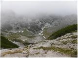 60
60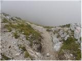 61
61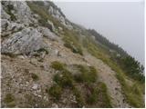 62
62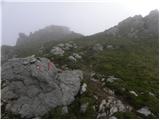 63
63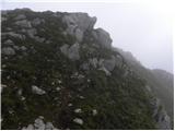 64
64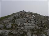 65
65
Discussion about the trail Planina Zajavornik - Viševnik