Planina Donja - Rog (Medvednica) (via Velike Peći)
Starting point: Planina Donja (320 m)
Name of path: via Velike Peći
Time of walking: 1 h 20 min
Difficulty: difficult marked way
Altitude difference: 389 m
Altitude difference po putu: 435 m
Map:
Recommended equipment (summer):
Recommended equipment (winter):
Views: 3.857
 | 2 people like this post |
Access to the starting point:
Leave the Zagreb-Varaždin motorway at the Popovec exit. The first village on the old road towards Varaždin is Soblinec. In Soblinec, go left in the direction of Kašina. Continue through the villages of Gajec, Vurnovec and Prepuštovec until you reach Kašina, where you turn right. At the end of the village you will see a road turning off to the left into the village Mountain pasture Donja.
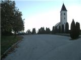
There are few suitable parking places in Mountain pasture Donja. I recommend parking by the church and the cemetery, which is located above the village.
Path description:
From the cemetery, walk back down to where you will see the sign for the entrance to the Medvednica Nature Park. Continue up the asphalt along Planinarska Street. After a few farms, the road becomes gravel and after the first entrance to the forest there are a few good places to park, but if you are not early enough they are usually already taken.
When the path passes the wooden cottage, at the next bend you will pass through the forest, but only briefly, as the path returns to macadam after the meadow.
We will walk on the macadam for about a minute, and then back on the forest path through the forest to reach the grey hut and the crossroads.
We go right north along cart track. There are no markings for the first few metres, but they appear as our cart track splits downwards. We will now be on cart track for about twenty minutes. Typically, cart track climbs gently and descends occasionally, but is almost always level.
After twenty minutes of walking, the cart track will start to descend and will go down to the right in the direction of Laz-Marija Bistrica, and we go straight ahead, where we will see the inscription V. Peć on a tree, but we do not follow this cart track for twenty metres and we are already going up to the left.
Now our cart track will climb moderately. There are few signs on this section. When you see the sign V. Peć again, go left steeply uphill. After a hundred metres, leave cart track to the left and follow the narrow path into the forest.
This branch is well marked. At the end of the slope you come to a sharp right turn where there is a lane of compacted spruce forest, but the ground will be rockier and the path will lead you to a difficult part of the trail.
The first challenging part is difficult because the ground is quite slippery and the path leads to the Velika Peč cave. This can serve as a shelter in the rain, and some climbers spend the night here.
From the cave, go right slightly downhill, where you will soon come to a very exposed part, where a rope will help you further. After the rope, you will come to a rocky ridge where there is another rope that you can use to help you (it is located exactly above the cave). There is a steep climb up the rocky surface. At the top, the forest will thin out a bit and the ground will become more and more grassy. When you reach the viewpoint, the steep and challenging part ends. From the viewpoint, continue south to reach the rocks. Here there is a high rock on which the mountain rescue service often exercises. The cliff is difficult but can be climbed without equipment. Continue under the cliff and you will soon reach the wider cart track.
After a few minutes on the wider cart track you will reach a crossroads, where you go left, and to the right the route continues to the Goričica area and the upper part of Medvednica. A little further on is another unmarked crossroads, where you go left again (if you went straight the path would start to descend steeply-this is the path from the village of Čučerje). After a minute from the crossroads you will see the markings again.
The path leads us to a meadow where there is a chapel of Croatian martyrs. We will see a forest ramp and go to it. At the ramp, a direct path from the Mountain pasture donja will also join us unnoticeably from the left.
From here, it is only one minute to the Lipa-Rog home and the lookout tower above it. The view from the lookout tower offers an exceptional view despite its low height. The Kamnik-Savinja Alps are visible to the north-west, Kozara to the south and the Slavonian mountain pasture to the east.

Pictures:
 1
1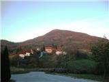 2
2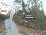 3
3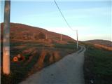 4
4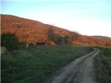 5
5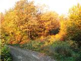 6
6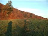 7
7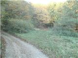 8
8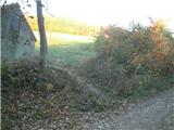 9
9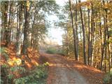 10
10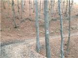 11
11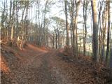 12
12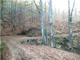 13
13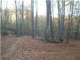 14
14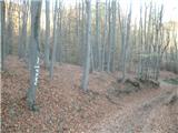 15
15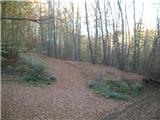 16
16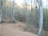 17
17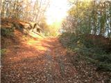 18
18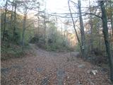 19
19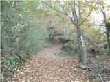 20
20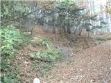 21
21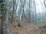 22
22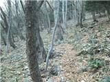 23
23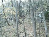 24
24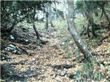 25
25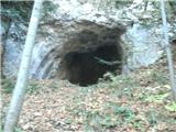 26
26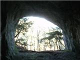 27
27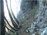 28
28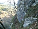 29
29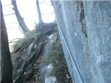 30
30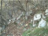 31
31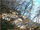 32
32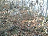 33
33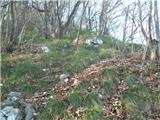 34
34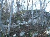 35
35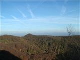 36
36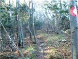 37
37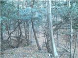 38
38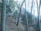 39
39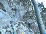 40
40 41
41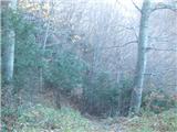 42
42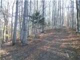 43
43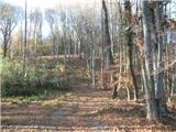 44
44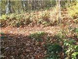 45
45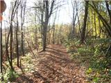 46
46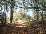 47
47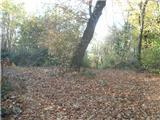 48
48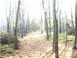 49
49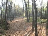 50
50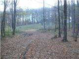 51
51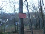 52
52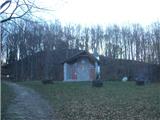 53
53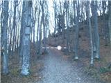 54
54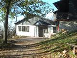 55
55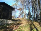 56
56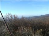 57
57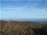 58
58
Discussion about the trail Planina Donja - Rog (Medvednica) (via Velike Peći)
|
| Marx15. 11. 2013 |
Ko pridete z avtoceste v vas Soblinec boste levo zavinuli na razpotju z semaforom za pešce in šolo. Na puščici ni vasi Kašina sicer je nadpis Marija Bistrica.
|
|
|
|
| Marx21. 12. 2014 |
Bil po ti poti 20.12.2014. Pot je znova markirana in so zdaj marke bolj pogosto , edino žel odcep na sliki 9 ni najbolj označen (tu gremo desno , po travniku direktna pot).
Narejena je tudi varianta poti iz vasi Planina donja. Po njej lahko obidemo zahtevni del poti. Ta pot prečka našo pot na sliki 15 (oznaka na drvesu) in se na našo pot vrne in gre vse do vrha na sliki 44. Nisam še šel po ti poti , ne vem tudi kjer je izhodišče... Mogoče v neki prihodnosti.
|
|
|