Možjanca - Štefanja gora (by road)
Starting point: Možjanca (689 m)
| Lat/Lon: | 46,2945°N 14,4507°E |
| |
Name of path: by road
Time of walking: 1 h
Difficulty: easy marked way
Altitude difference: 59 m
Altitude difference po putu: 100 m
Map: Karavanke - osrednji del 1:50.000
Recommended equipment (summer):
Recommended equipment (winter):
Views: 5.220
 | 1 person likes this post |
Access to the starting point:
a) From Cerkelj na Gorenjskem, Šenčur or Kranja drive to Preddvor. When you reach the main road Kranj - Jezersko, follow it towards Jezersko, then turn right before the settlement Tupaliče in the direction of Možjance. At Tupaliče turn right again, then follow the ascending road to Možjanca, where you can park in a suitable place near the church of St. Nicholas or just above it at the ecological island.
b) From Zgornje Jezersko take the main road towards Kranj. When you reach the crossroads where the road to Preddvor branches off to the right, continue straight on, then take the first left. After a short climb, the road levels off, then at the marked crossroads continue left in the direction of Možjanka. Then climb up to Možjanca, where you can park in a suitable place near the church of St. Nicholas or just above it at the ecological island.
Path description:
From the crossroads just below the church, continue in the direction of Štefanje Gora and follow the macadam road, which initially leads us past a few houses. When the settlement ends, at a small crossroads, continue along the upper left road (you can take the right road to reach Apnišče), which turns into a forest. The road continues to climb gently to moderately for some time, then it is laid and a little later it is resurfaced with asphalt. When you emerge from the forest a little further on, you will see the village of Štefanja Gora ahead, which is still a few minutes' walk away. Before you reach the houses in the village, you arrive at a marked crossroads, where you take a sharp right in the direction of the church on Štefanja Gora.
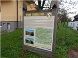
The way ahead leads along a narrower asphalt road that winds through the forest and higher up through a vast meadow. At the end of the meadow, at the point where another path joins from the left (the paths from the villages Adergas, Dvorje, Grad, Štefanja Gora. . . ), a short path branches off to the right at the information boards, leading to the open-door farm at Mežnar, and we continue straight on to the end of the road. From the end of the road we go straight onto a well-trodden footpath, first across a meadow and then through a forest, which in a few minutes takes us to the Church of St Stephen, located on the top of Štefanja gora, with a beautiful view.
Description and pictures refer to the situation in 2016 (April).

Pictures:
 1
1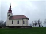 2
2 3
3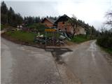 4
4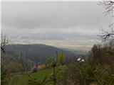 5
5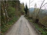 6
6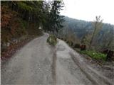 7
7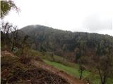 8
8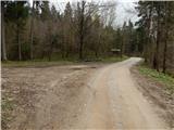 9
9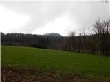 10
10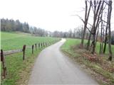 11
11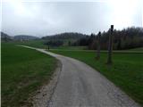 12
12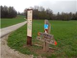 13
13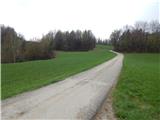 14
14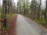 15
15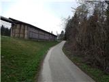 16
16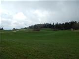 17
17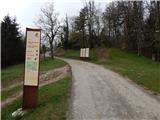 18
18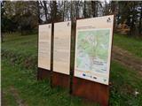 19
19 20
20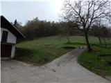 21
21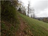 22
22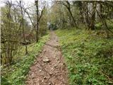 23
23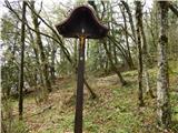 24
24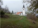 25
25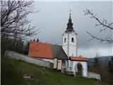 26
26
Discussion about the trail Možjanca - Štefanja gora (by road)