Moravske Toplice - Gravel pit Ivanci
Starting point: Moravske Toplice (190 m)
| Lat/Lon: | 46,6851°N 16,21835°E |
| |
Time of walking: 1 h 30 min
Difficulty: easy marked way, easy unmarked way
Altitude difference: -13 m
Altitude difference po putu: 5 m
Map: Pomurje 1:40.000
Recommended equipment (summer):
Recommended equipment (winter):
Views: 121
 | 1 person likes this post |
Access to the starting point:
a) Exit the Pomurje motorway at exit Gančani, then follow the signs for Bogojina and Moravske Toplice. At Bogojina turn left and drive to Moravske Toplice, where just before the end of the village turn left towards Prekmurska village Ajda (turn left after the Mercator shop, which is on the left side of the road). Park about 100 m further on in the large parking lot in front of the holiday houses.
b) Drive to Murska Sobota, then follow the signs for Moravske Toplice. When you arrive in Moravske Toplice, turn right at the beginning of the village towards Prekmurje village Ajda. Park about 100 m further on in the large parking lot in front of the holiday homes.
Path description:
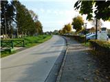
From the parking lot, continue south and the road soon turns left and turns eastwards. Soon you are heading south again, and when the road turns left again, bear slightly right onto a narrow asphalt road that continues alongside the golf courses. The road continues past the gravel pit Tešanovci or pond Moravske Toplice, and when you reach the crossroads, turn left. Just a little further on, the European footpath E7 branches off to the right (the E7 also approaches the Ivanci gravel pit), and we continue straight on to the next crossroads, where we go left again. Walk along a slightly wider road for a short distance, and after the Oaza Grill take the right fork cart track, with signs for the Pannonian Trail. A longer walk along cart track passes some hunting observation posts and at a small crossroads you go straight on towards the Pannonian Way. Follow this path, where there are large fields mainly on the left-hand side of the path, to a crossroads near the Ivanci cemetery, where you go right (Bogojina on the left).
Continue on the asphalt road which leads past the cemetery, then turn left onto the cart track, which continues all the way to the embankment by the Ivanci gravel pit. When you climb the embankment, you will have a nice view of the gravel pit.
Description and pictures refer to the situation in November 2022.

Pictures:
 1
1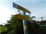 2
2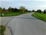 3
3 4
4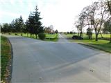 5
5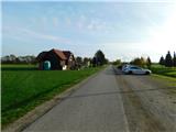 6
6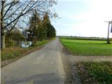 7
7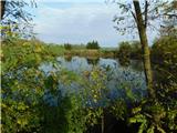 8
8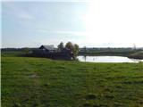 9
9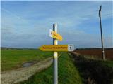 10
10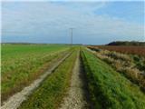 11
11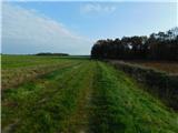 12
12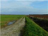 13
13 14
14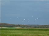 15
15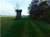 16
16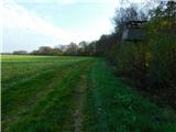 17
17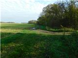 18
18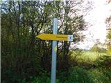 19
19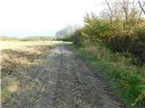 20
20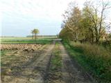 21
21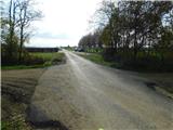 22
22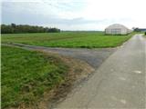 23
23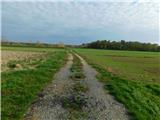 24
24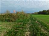 25
25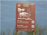 26
26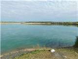 27
27
Discussion about the trail Moravske Toplice - Gravel pit Ivanci