Medvodje - Medvodnica (via Tržiška Bistrica)
Starting point: Medvodje (854 m)
| Lat/Lon: | 46,4076°N 14,3915°E |
| |
Name of path: via Tržiška Bistrica
Time of walking: 1 h 30 min
Difficulty: easy unmarked way
Altitude difference: 348 m
Altitude difference po putu: 348 m
Map: Karavanke - osrednji del 1:50.000
Recommended equipment (summer):
Recommended equipment (winter): ice axe, crampons
Views: 490
 | 1 person likes this post |
Access to the starting point:
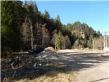
From the Ljubljana - Jesenice motorway, take the Podnart (Ljubelj) exit, then continue on the expressway towards Ljubelj and Tržič. When the expressway ends, you will see a petrol station on the right hand side, before which turn right down towards Tržič. Continue through Tržič, and we follow the narrower road towards Dovžana Gorge and then through the villages of Dolina and Jelendol to Medvodje, where we park in the marked parking area at the nearby crossroads.
Path description:
From the parking lot continue along the road to the right in the direction of Storžič, Stegovik and Stegovnik waterfall (left Košutna, Košutna's turn and mountain pasture Dolga njiva along the marked trail), and after a few 10 steps continue straight ahead (right Stegovnik waterfall). The way ahead leads along a dirt road, which continues along the Tržiška Bistrica, and when you reach the crossroads at the confluence of the Tržiška Bistrica and Fevče, continue along the left-hand road, which continues along the Tržiška Bistrica. Higher up, the road turns sharp left and leads to a crossroads just 10 steps further on, where you continue straight on (to the right you can reach mountain pasture Brsnina). There is a cross-climb over occasionally scenic slopes, and then you reach a pass between Medvodnica on the left and Črna peč on the right, where there is a crossroads of several paths.
Continue slightly left on the wide cart track (to the left the road ends a little further on, straight down cart track leading to the road Medvodje - Košutna, and to the right the road continues, ending below the Black Furnace.
There is a moderate climb up the cart track, which opens up a nice view towards Košuta, and a little higher up we reach the ridge Medvodnica, where the cart track narrows a little. A few minutes' walk to the end of cart track, and from there a few steps up to the featureless summit of Medvodnica.
Description and pictures refer to April 2020.

Pictures:
 1
1 2
2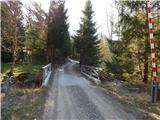 3
3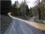 4
4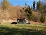 5
5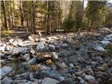 6
6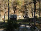 7
7 8
8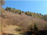 9
9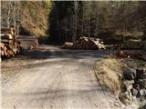 10
10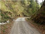 11
11 12
12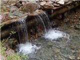 13
13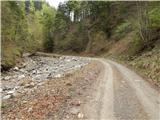 14
14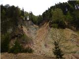 15
15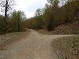 16
16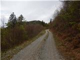 17
17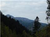 18
18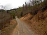 19
19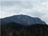 20
20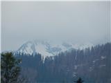 21
21 22
22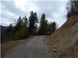 23
23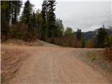 24
24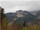 25
25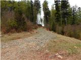 26
26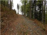 27
27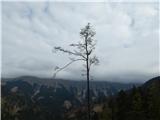 28
28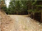 29
29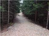 30
30 31
31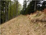 32
32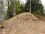 33
33 34
34
Discussion about the trail Medvodje - Medvodnica (via Tržiška Bistrica)