Starting point: Mašun (1022 m)
| Lat/Lon: | 45,62826°N 14,36613°E |
| |
Time of walking: 3 h 15 min
Difficulty: easy marked way
Altitude difference: 220 m
Altitude difference po putu: 400 m
Map: Snežnik 1:50.000
Recommended equipment (summer):
Recommended equipment (winter): ice axe, crampons
Views: 2.160
 | 1 person likes this post |
Access to the starting point:
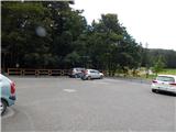
From Ilirska Bistrica or Pivka, drive to Knežak, and from there follow the signs for Mašun. It is then a few kilometres drive along a slightly winding but fully asphalted road to Mašun. Park in the asphalted parking lot near the Mašun guesthouse.
Path description:
From the parking lot, walk to the nearby crossroads, from which you continue slightly right in the direction of the European footpaths E6 and Snežnik. At first you are still walking on an asphalt road, but the asphalt soon ends and you continue on a wider dirt road, which you follow until you reach a more distinct left turn. At the bend, which takes about 20 minutes to reach, turn right onto the marked cart track, which quickly turns into a less well-trodden forest track, where you follow the markings of the European footpath. A little further on, you reach a dirt road, which you turn onto just as you reach a turning point, and from the turning point go slightly left and continue along cart track, which initially descends slightly, but then continues without any significant change in elevation. At a small crossroads, where the wider cart track turns slightly to the right, go straight ahead and then reach another forest road, which you follow to the left. There are a couple of small crossroads where you continue straight on, and when you reach a wider dirt road, follow it to the right in the direction of Snežnik and Sviščakov. The way forward leads us past the Škrli hut, and at a marked crossroads where the marked path continues straight along the forest road, we continue to the right in the direction of the wider road towards Sviščaki. Then we cross the slopes called Drče, and at a nearby crossroads where an unmarked shortcut joins us from the right, we go left towards Sviščaki, to which we have 7 km to go. At the following crossroads, follow the signs for Sviščaki, and a marked trail from Koritnice will join from the right. A descent follows and we come out of the forest to Grda Draga, where there is a forestry hut, and a little further on is another starting point for the ascent to Snežnik.
After leaving Grda Draga, we start climbing through the forest again, following the wider road at the crossroads. When we arrive at Sviščaki, we are only a short descent away from the mountain home.
Description and pictures refer to the situation in September 2020.

Pictures:
 1
1 2
2 3
3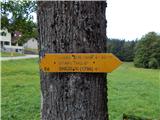 4
4 5
5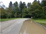 6
6 7
7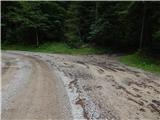 8
8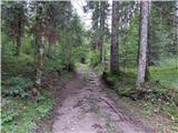 9
9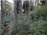 10
10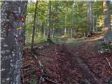 11
11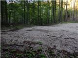 12
12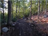 13
13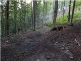 14
14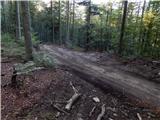 15
15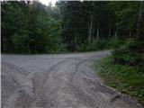 16
16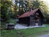 17
17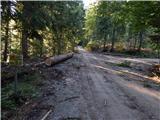 18
18 19
19 20
20 21
21 22
22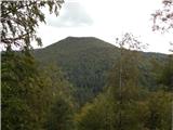 23
23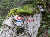 24
24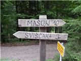 25
25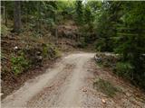 26
26 27
27 28
28 29
29 30
30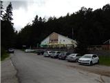 31
31
Discussion about the trail Mašun - Dom na Sviščakih