Maribor - Sveti Križ (Gaj nad Mariborom) (on path over Kozjak)
Starting point: Maribor (275 m)
| Lat/Lon: | 46,564°N 15,6481°E |
| |
Name of path: on path over Kozjak
Time of walking: 3 h
Difficulty: easy marked way
Altitude difference: 300 m
Altitude difference po putu: 740 m
Map: Pohorje 1:50.000
Recommended equipment (summer):
Recommended equipment (winter):
Views: 5.656
 | 2 people like this post |
Access to the starting point:
The start of the route can be practically in the centre of the city at the beginning of the city park by the sign for the Kozjak trail, or anywhere in the park up to Treh rybniki.
By car, exit Melje on the expressway through Maribor and continue along the railway station, at the first junction without traffic lights turn left along Tomšičeva Street, also the famous alley in the direction of Ribniško selo and park the vehicle somewhere near the park.
Path description:
At the beginning of the City Park, by the sign "The path over Kozjak", or by the Three Ponds, there is a concrete start of the route. It is easy to follow the mountain trail practically from the urban Maribor itself through Ribniško selo. At the top of Ribniško selo at the junction with Vinarji, right into the forest and under Marin's and Kaufman's banks, simply follow the well-marked and also undulating, "hilly", path. Soon you reach the top of the Rošpoh settlement, followed by a descent into the valley, where you cross the Kamnica - Kungota road.
Continue up by the chapel, past a large farmhouse with orchards, along an asphalt road. St. Urban is somehow practically in sight all the time and, with the excellent signposting of the path, the Church of St. Urban is reached in an easy stride.
After a tour of the surroundings of St. Urban, we continue from the crossroads in the direction of Gaja nad Maribor. After a rough, mainly asphalt road, you reach the Nabašec crossroads and continue to the left (to the right is the direction to Kungota). Follow the asphalt road to the crossroads, where you continue straight up. . . direction sign Večernik. The trail is a macadam/forest road in this part and soon at the Večernik homestead (on the left side of the trail) you reach the settlement Gaj nad Mariborom, followed by an easy final climb to the church Sveti Križ and the end of the trail.
The trail is well marked and traceable throughout, populated along the route, and locals along the way are always ready to talk and give advice.
The trail is about 12500 metres long, with 740 positive vertical metres and 440 negative vertical metres (starting from the City Park).

Pictures:
 1
1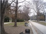 2
2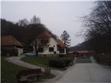 3
3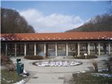 4
4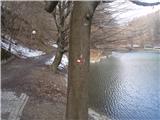 5
5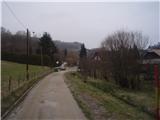 6
6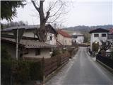 7
7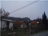 8
8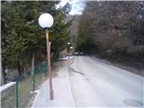 9
9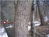 10
10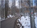 11
11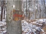 12
12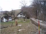 13
13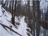 14
14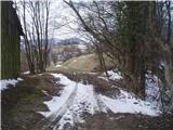 15
15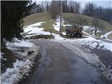 16
16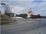 17
17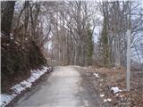 18
18 19
19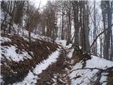 20
20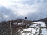 21
21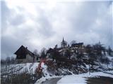 22
22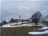 23
23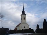 24
24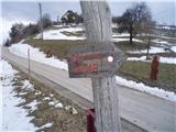 25
25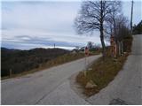 26
26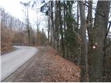 27
27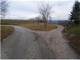 28
28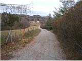 29
29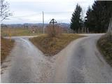 30
30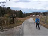 31
31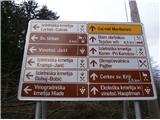 32
32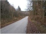 33
33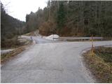 34
34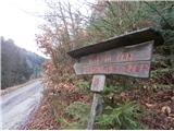 35
35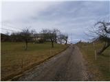 36
36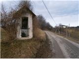 37
37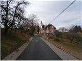 38
38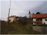 39
39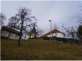 40
40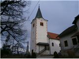 41
41
Discussion about the trail Maribor - Sveti Križ (Gaj nad Mariborom) (on path over Kozjak)
|
| blazvic7. 03. 2020 |
Super pot! Želel bi samo opozoriti, na dva huda psa pri Večernikovi domačiji, ki sta mi preprečila nadaljevanje po poti, zato sem ta del poti obšel po cesti.
|
|
|
|
| Ninđa8. 03. 2020 |
@blazvic, drugič kar pogumno. Sta glasna ampak ne napadeta.
Lp, Nino
|
|
|