Starting point: Log (780 m)
| Lat/Lon: | 46,4888°N 13,8141°E |
| |
Time of walking: 2 h 30 min
Difficulty: easy unmarked way
Altitude difference: 957 m
Altitude difference po putu: 957 m
Map: Kranjska Gora 1:30.000
Recommended equipment (summer):
Recommended equipment (winter): ice axe, crampons
Views: 9.232
 | 3 people like this post |
Access to the starting point:
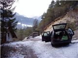
Take the Jesenice towards Kranjska Gora. Shortly after the village Gozd-Martuljek, just a few metres before the village Log (the village is before Kranjska Gora on the left side of the road), a road branches off to the right and after a few dozen metres crosses a bridge over the Sava Dolinka. After the bridge, park in a suitable space on the roadside.
Path description:
Follow the road along which you parked. The road climbs steeply, crosses a bridge and then reaches the chapel at the last house. Here the road changes to cart track. Cart track climbs through the forest and crosses the slopes to the east. After 20 minutes you reach a viewpoint with a chapel and a bench. At this point, leave cart track and take the path that goes up between the chapel and the bench. The start of the path is a little harder to follow, but the path soon becomes wide and clearly visible. The path soon leaves the forest and leads to the open meadows below the farm Jurež. Head towards this farm, which is slightly to the left and slightly uphill. Here we come to a road coming from Srednji vrh.
The path continues between the two houses and turns right after them. The path here on again follows the cart track, but as the terrain is open the path gives us a nice view. After a 15-minute walk from the farm, the path goes into the wods and there we come across a small well. Just a few minutes after that, we reach a crossroads. The left path goes over a ruined bridge and we continue on the right path, which leads us out of the forest. In the wide meadow the path is harder to see. Keep right at the edge of the forest and the path leads us to a forest road coming from Korenski sedlo.
The path crosses the road and climbs over a moderately steep meadow. The path is poorly graded, but if you stick to the small unmarked valley you will be fine. At the top of the meadow the path enters the forest and turns left. The path comes out of the forest again in a few minutes and leads to the top grassy slopes of Vošća. There is a slight ascent slightly to the left towards the ruins visible at the top. The summit is reached without any problems and the views are beautiful.

Pictures:
 1
1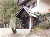 2
2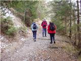 3
3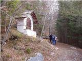 4
4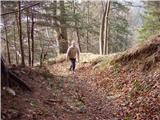 5
5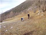 6
6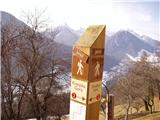 7
7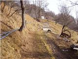 8
8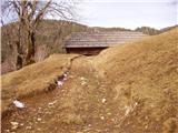 9
9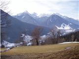 10
10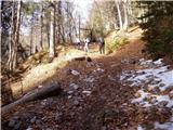 11
11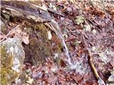 12
12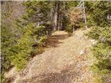 13
13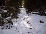 14
14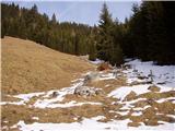 15
15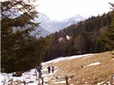 16
16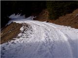 17
17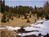 18
18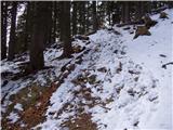 19
19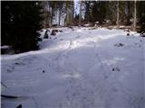 20
20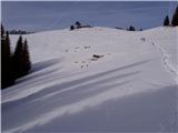 21
21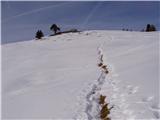 22
22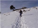 23
23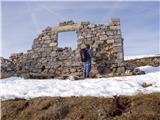 24
24 25
25
Discussion about the trail Log - Vošca
|
| Guest9. 01. 2007 |
hud kolenogriz... vendar se splača, saj nas vso pot spremlja fantastičen pogled na Jalovca.
|
|
|
|
| Guest11. 01. 2007 |
kaksen jalovec..
ŠPIK 
|
|
|
|
| TheEdge16. 01. 2007 |
Na Jalovca? Na Jalovec, če bi že stal tam. Tam stoji namreč Špik.
|
|
|