Ljubno ob Savinji - Koča na Travniku
Starting point: Ljubno ob Savinji (468 m)
| Lat/Lon: | 46,3477°N 14,8315°E |
| |
Time of walking: 3 h 35 min
Difficulty: easy marked way
Altitude difference: 1080 m
Altitude difference po putu: 1160 m
Map: Kamniške in Savinjske Alpe 1:50.000
Recommended equipment (summer):
Recommended equipment (winter): ice axe, crampons
Views: 9.258
 | 2 people like this post |
Access to the starting point:
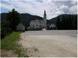
From the Ljubljana - Maribor motorway, take the Šentrupert exit and then continue to Mozirje, Ljubno ob Savinji and the Logar valley. When you arrive in Ljubno, you will see signs for Smrekovec, which will direct you to the right into the centre of the town, where you will turn left onto a slightly narrower road that begins to climb above the town. Before the end of Ljubno, we will see signs for the cemetery, which will direct us to the left onto a slightly steeper road, from which we will then turn left again towards the cemetery. Park in the large parking lot next to the cemetery and the local church.
Path description:
From the parking lot, walk across the cemetery to the other side of the walls, where you will find a marked path that starts a little lower down in the centre of Ljubno. Follow the path to the right and it will quickly lead you under the electricity pylon and the nearby chapel. From the chapel, continue in the same direction and ascend a gently sloping meadow, over which a less visible path leads. At a higher level, cross a grazing fence and take the cart track, which is followed up to the left. Continue up through the forest, crossing a dirt road, to reach a memorial erected in memory of a young boy.
The path continues to climb through the forest for some time, then widens into the cart track, which leads to the nearby Sedelšak farm, with beautiful views.
Above the farm, more precisely at the chapel, leave the road and cross the hayfield and climb up to the edge of the forest, where you can see the wide but steep cart track. Continue along the above-mentioned cart track, which quickly lays down and turns slightly to the right. After a short cross-climb, you arrive at a marked crossroads, where you continue right in the route Koča na Travniku (St Primož Church on the left 10 minutes).
The path, which becomes a little overgrown, quickly leads to Kovšak Farm, where you cross the road. Continue past the house and continue across the hay field, where the path is almost completely invisible at first, and then join the grassy cart track, which, with fine views of Golte and the surrounding hills, leads up to the asphalt road at the Purkat farm. Here we continue a few steps to the left, and then the signs for Travnik direct us to the right, on a path that quickly turns into a forest. Continue along the relatively steep cart track, which climbs higher and becomes a pleasant forest path. Just a little higher, we reach an undistinguished ridge, where we pass the edge of a hayfield (opening a view of Komen), and then the path immediately returns to the forest, through which we climb for some time. After a few minutes we join the old cart track, which soon becomes completely overgrown. Cart track then leads us to the nondescript peak of Zelenjak (1221 m), from which we then begin a gradual descent. The way forward continues partly along the cart track and partly along a forest path, most of it gently ascending. Higher up, the path leads us to an interesting wide but precipitous ridge (easy), which we climb up to the nearby forest road, where the path from Počka (Robnikova) joins us from the right mountain pasture.
Continue straight on the marked cart track (initially a worse road), which starts to climb steeply through the forest. Cart track leads us higher out of the forest to a rather overgrown clearing (this is also the path), and then turns left and leads us to a grassy ridge which offers a wonderful view of Ojstrica and part of the Dleskovski plateau. The ascent continues along the edge of the grassy slope until the path leads us to a small prevala at which we see a cross and a memorial plaque. A short descent follows and the path leads us to the shepherd's hut at mountain pasture Mali Travnik.
From mountain pasture continue along the wide marked path, passing the top of Mali Travnik on the right. The path soon enters the forest, where it descends gently and then continues on a slight ascent. A little further on, the path leads us out of the forest, where the path from the higher starting point (starting point Kolarica) joins us on the right.
Continue along the pleasant gently sloping path, which leads us after 5 minutes of further walking to the mountain hut at Travnik.

Pictures:
 1
1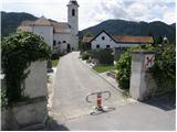 2
2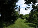 3
3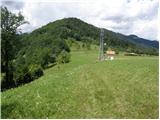 4
4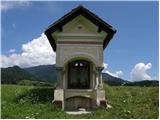 5
5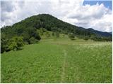 6
6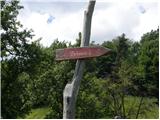 7
7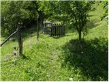 8
8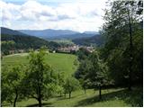 9
9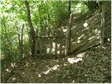 10
10 11
11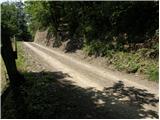 12
12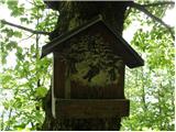 13
13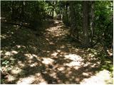 14
14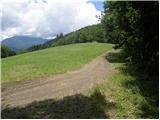 15
15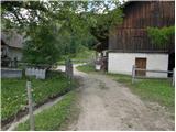 16
16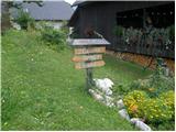 17
17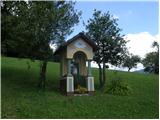 18
18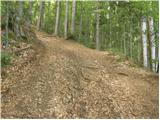 19
19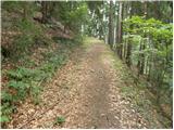 20
20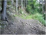 21
21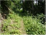 22
22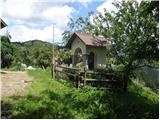 23
23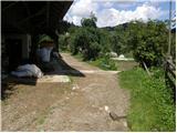 24
24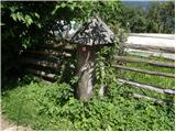 25
25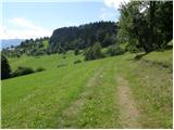 26
26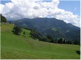 27
27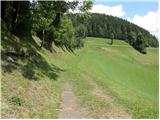 28
28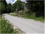 29
29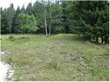 30
30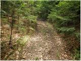 31
31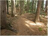 32
32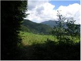 33
33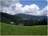 34
34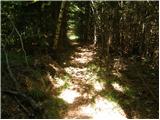 35
35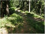 36
36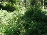 37
37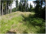 38
38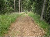 39
39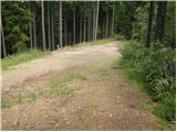 40
40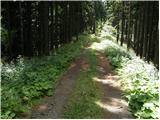 41
41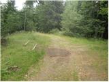 42
42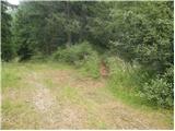 43
43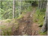 44
44 45
45 46
46 47
47 48
48 49
49 50
50 51
51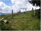 52
52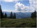 53
53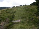 54
54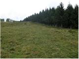 55
55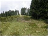 56
56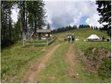 57
57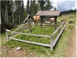 58
58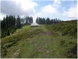 59
59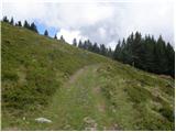 60
60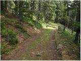 61
61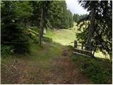 62
62 63
63 64
64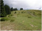 65
65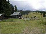 66
66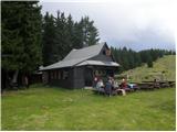 67
67
Discussion about the trail Ljubno ob Savinji - Koča na Travniku
|
| frover12. 10. 2017 |
Čudovita tura. Hvala avtorju za natnčen opis in markacistom za lepo označeno pot 
|
|
|