Laško - Malič (on eastern ridge of Malič)
Starting point: Laško (229 m)
| Lat/Lon: | 46,1633°N 15,2285°E |
| |
Name of path: on eastern ridge of Malič
Time of walking: 1 h 50 min
Difficulty: easy marked way, easy unmarked way
Altitude difference: 707 m
Altitude difference po putu: 734 m
Map: Posavsko hribovje - zahodni del 1:50.000
Recommended equipment (summer):
Recommended equipment (winter):
Views: 869
 | 1 person likes this post |
Access to the starting point:
a) From the motorway Ljubljana - Maribor, take the exit Celje - centre, then continue to Laško and Zidane Most. Once in Laško, turn right at the traffic lights opposite the petrol station in the direction of Spodnje and Zgornja Rečica and Hude Jama. Park in one of the car parks near the Laško fire station.
b) From Zasavje or Posavje, drive to Zidani Most or Rimske Toplice, then continue towards Celje. When you reach Laško, the signs for Spodnja and Zgornja Rečica and Huda Jama point you to the left. Turn left here and park in one of the car parks near the Laško fire station.
Path description:
Next to the Laško Fire House you can see a marked trail leading from the Laško railway station towards Dom na Šmohorju, which is looked after by the Laško PD. The first half of our excursion follows this marked trail and then continues along an unmarked but partially marked path.
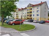
From the starting point described above, where it is possible to park in front of the apartment blocks, the trail initially leads us past the Laško fire station, gently uphill, and then after a few 10 m we arrive at a small chapel, next to which we see the mountain direction signs for Šmohor, Malič, Mrzlica and Kal. Here we continue along the ascending road, and then the signs direct us to the steps between the residential houses. The path continues across a meadow, then past a cross in a belt of woodland. Soon you reach a dirt road, which, with fine views of Malič and the rest of Posavsko hribovje, leads you past a chapel and up to an asphalt road. Follow this road towards Malič, passing the turn-off to the Primož farm. In a small hamlet higher up, the asphalt ends. Continue along the marked macadam forest road, which slowly turns into cart track. This soon leads out of the forest to the next farm. Following the signpost for Šmohor, continue through the farm on cart track, which climbs between grazing fences, then enters the woods and splits into two parts. The lower left cart track continues on the marked path towards Šmohor, while we leave the signposts and follow the right cart track, which joins the dirt road just a few tens of metres higher, which we follow to the right. The road continues past two farms until it reaches a crossroads in front of the Zamalič (or Malšek) homestead, where an unmarked but marked path from Tremeri joins us from the right. It takes about 1 hour to get here.
Follow the signpost for "TOP" and "thank you for walking along the path" and bypass the homestead. At the top of the clearing at the edge of the forest we are greeted by beautiful views of the surrounding hills, a cosy little house for chopsticks and a bench. We re-enter the forest, where the undulating path along the serpentines, mainly in a north-north-easterly direction, leads us to the eastern ridge of Malič. Here, turn sharp left in a westerly direction and climb the ridge, where the steepness and difficulty of the path increase a little. Up the ridge we can still see the old markings from the 70s, and to the left towards Laško, initially shy views open up. At a height of 802 metres, we are surprised by a beautiful viewpoint with a table and a bench. The view extends eastwards over the entire surrounding hills above the Savinja. We continue along the ridge, where the steepness begins to subside. A few minutes more, and we are at the top of Malič, which is unfortunately not overlooked, but we are greeted by a rather large telecommunications tower. It is about 4. 9 km from the starting point.
The summit stamp is located in the Šmohor Mountain Lodge.

Pictures:
 1
1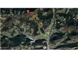 2
2 3
3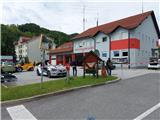 4
4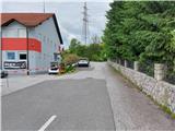 5
5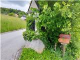 6
6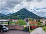 7
7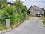 8
8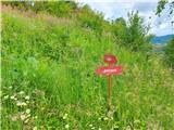 9
9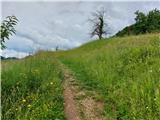 10
10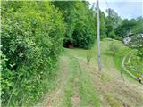 11
11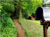 12
12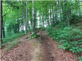 13
13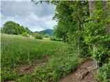 14
14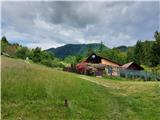 15
15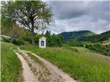 16
16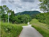 17
17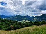 18
18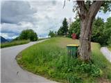 19
19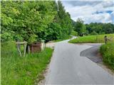 20
20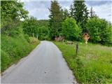 21
21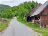 22
22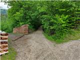 23
23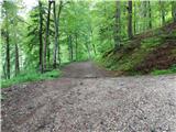 24
24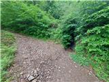 25
25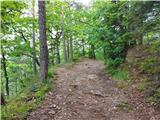 26
26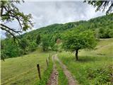 27
27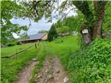 28
28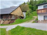 29
29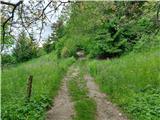 30
30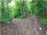 31
31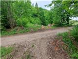 32
32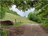 33
33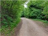 34
34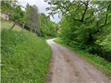 35
35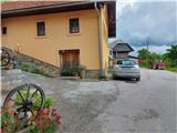 36
36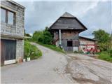 37
37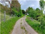 38
38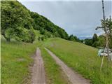 39
39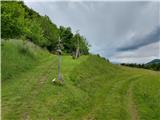 40
40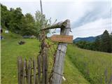 41
41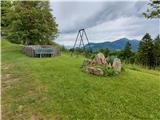 42
42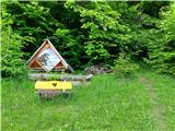 43
43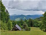 44
44 45
45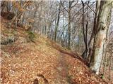 46
46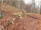 47
47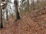 48
48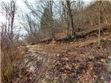 49
49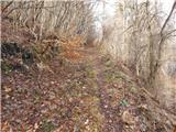 50
50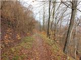 51
51 52
52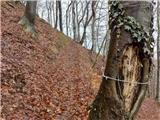 53
53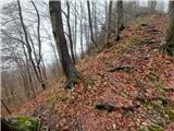 54
54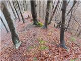 55
55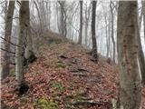 56
56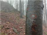 57
57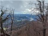 58
58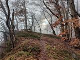 59
59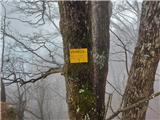 60
60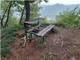 61
61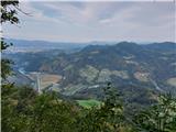 62
62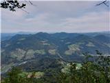 63
63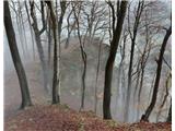 64
64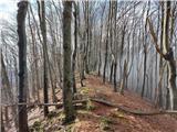 65
65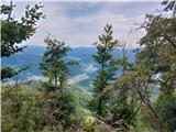 66
66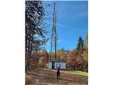 67
67
Discussion about the trail Laško - Malič (on eastern ridge of Malič)