Ladine / Ladinach - Mačenski vrh / Matschacher Gupf (path 668)
Starting point: Ladine / Ladinach (560 m)
Name of path: path 668
Time of walking: 3 h
Difficulty: easy marked way
Altitude difference: 1131 m
Altitude difference po putu: 1131 m
Map: Karavanke 1:50.000
Recommended equipment (summer):
Recommended equipment (winter): ice axe, crampons
Views: 862
 | 1 person likes this post |
Access to the starting point:
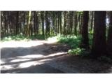
Head through Ljubelj to the Austrian side and through the villages of Podljubelj / Unterloibl and Podgora / Unterbergen you will reach the first roundabout. Go straight ahead and turn left at the second roundabout after 200 m (third exit). Go through the village of Struga / Strau (stationary radar) at 50 km/h and on through a couple of hamlets to the village of Bistrica v Rosu / Feistritz im Rosental. In the village we cross the railway line and start descending. Pass a petrol station on the right. When the path flattens out, there is a slight left turn. The settlement is over, and after about 300 m we will see a neatly arranged crossroads (with a separate lane for turning left) on the flat road, where we turn left. The narrow road takes us uphill and through a railway underpass. 100 m later, turn right at the crossroads, and after about 200 m turn left again (at this crossroads there is a tree on the right with signs for a mountain trail). Continue for 300 m along the narrow asphalt road. When it reaches the edge of the forest, it turns slightly left, and we turn right onto a nice cart track and find a parking place - cart track allows us to gain some height with the car. However, it is more difficult to find a suitable space higher up.
Path description:
Just as we were tormented by the orientation to the starting point, so is the route itself. If you park right away, it takes you 10 minutes to get to the first sign on the road. The route sign promises a 3-hour walk. We walk for a good while on a nice gravel path, which starts to rise steeply and crosses a torrential ravine at a higher altitude. We kick along the road for a little while longer, and then the signs direct us to the left, onto a wide track. This is becoming increasingly overgrown, but traceable. Cross the gravel. The second time we come across it, the markings run out a little; we have to follow the road to the left for 20 paces before we see a well-marked track to the right. The path approaches a torrent, which we cross. You come into a nicer forest with less undergrowth. Here the track is easy to follow for a good distance. We approach the next steep gully on the left and a small rock ledge on the right. As we move away from the ravine, we again have a bit more undergrowth. Here the markings are not very visible. There are two trails, but it doesn't matter which one you take, as they soon merge. From here on, it is necessary to be more careful when looking for the markings. The undergrowth obscures the poorly cut path and the trees obscure the view of the markings. We are driving right and left through the forest, crossing some forgotten cart track and looking for the right path.
When we reach the saddle, the trouble is over. We take the road to the left, even though the signs invite us to climb a little higher up the ridge. The views from the right are beautiful, thanks to the fallen trees. At the end of the road, there is a fairly steep climb to the top. There are no orientation problems here. Good luck!

Pictures:
 1
1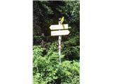 2
2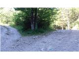 3
3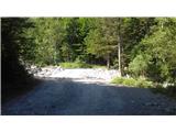 4
4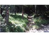 5
5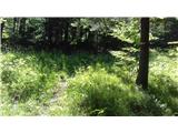 6
6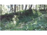 7
7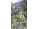 8
8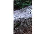 9
9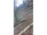 10
10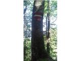 11
11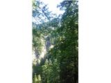 12
12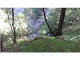 13
13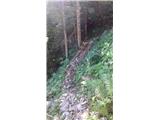 14
14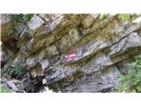 15
15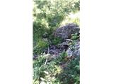 16
16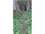 17
17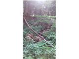 18
18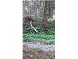 19
19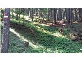 20
20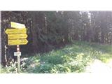 21
21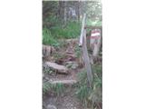 22
22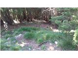 23
23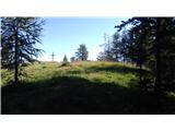 24
24 25
25
Discussion about the trail Ladine / Ladinach - Mačenski vrh / Matschacher Gupf (path 668)