Starting point: Krnica (660 m)
| Lat/Lon: | 46,3789°N 14,0419°E |
| |
Time of walking: 5 h 30 min
Difficulty: easy marked way
Altitude difference: 1354 m
Altitude difference po putu: 1530 m
Map: TNP 1:50.000
Recommended equipment (summer):
Recommended equipment (winter): ice axe, crampons
Views: 14.913
 | 3 people like this post |
Access to the starting point:
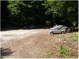
From the motorway Ljubljana - Jesenice, take the exit Lesce and follow the road in the direction of Bled. At the traffic lights at the roundabout in Bled, turn right (direction Pokljuka) and follow the sometimes slightly narrower road to the village Cirque. Here you will see signs for Pokljuka Gorge, which direct you to the right (direction Radovna) and then after a few metres to the left. Follow the road in the direction Pokljuka Gorge, at the beginning of which you will find a parking lot.
Path description:
From the parking lot, turn right onto the road towards Kleka and Kranjska dolina. The road quickly turns into the forest, where it starts to climb steeply. A little higher up, the road transitions and leads past a small sign (St Nicholas) to the other side of the ridge, the Pokljuka Gorge. Continue along the relatively steep road, which leads us past pastures and shepherd's huts to a slightly larger chapel, behind which we soon reach a marked crossroads.
Continue slightly to the right (to the left Lipanca) and follow the worse road for only a few more 10 steps, to a place where the markings direct us to a footpath that turns into a forest. The path continues climbing through the forest, along the edge of the vast mountain pasture Pokljuka. Higher up, the path, which runs along the edge of a pasture fence, leads to a wide cart track, which continues the climb. Higher up, cart track crosses the forest road several times, and we always follow it in the direction of mountain pasture Klek and mountain pasture Border valley. After a while, cart track leads us to a large clearing, where younger spruces are already growing. Here the path almost completely disappears among the spruces, but after a few minutes of pushing through a young groove, you will soon come to cart track, which you can then follow to a nearby road.
Once on the road, follow it sharply to the right (direction Klek, Lipanca), but we walk along it for only 10 m, and then, at a small clearing, the signs for Klek direct us to the left onto a rather overgrown footpath (there are a lot of untrimmed fallen trees in this part). Higher up, the waymarked path returns to the road, and we continue along it to a point where the waymarks direct us slightly right onto a scattered forest logging trail. Climb logging trail for some 10 paces, then the waymarked trail turns to the left, where it then climbs moderately through the forest. Higher up, cross the road again, and occasionally a less visible path leads past the NOB memorial plaque to the edge of the abandoned mountain pasture Border valley.
Continue along the waymarked path, which bypasses the above-mentioned mountain pasture on the left and crosses the forest road again at a higher level. The path ahead begins to climb steeply and then, after crossing the road once more, gradually flattens out and leads to a small parking lot near mountain pasture Klek. Follow the road to the right here, and after a few steps you will see the mountain direction signs, which direct you to the left onto the marked footpath. Continue up past the animal watering point and the moderately steep path quickly leads to the shepherd's huts at mountain pasture Klek. From these huts, a fine view opens up across the whole of mountain pasture, and we continue slightly to the right and descend crosswise to the second part of mountain pasture, where there are a few more shepherds' huts. Continue along a path with poor visibility, which after only a few 10 steps turns into a larch forest. Here the path becomes clearer again, and we follow it towards Lipanka. There are a few short ascents and descents, on the sometimes again less visible path. After about 30 minutes of walking from mountain pasture Klek, we will come to a marked crossroads, where we continue to the right in the direction of Debela peč (slightly to the left Lipanca and Debela peč past Spodnje Brdje). At the crossroads, the trail is completely lost for a short time, but if we continue in the direction as the direction sign indicates, we will find it quickly. Further on, the path begins to climb moderately through an increasingly sparse (mostly) larch forest. Only a little further on we enter a small valley, which we climb up to the place where the signs for Debela peč direct us sharply to the left. The path then turns into the dwarf pines zone, through which we climb below the ridge Klečica (the true summit of Klečica is located further to the right). Just 10 m before the ridge, the marked path turns left and starts to descend crosswise to the south-west. During the descent, we get a beautiful view of the Fat Furnace several times. The path continues for some time crossing slopes covered with dwarf pines, then turns to the right and starts to climb very steeply. After a short climb, you reach the ridge again, from which a beautiful view opens up towards Radovna.
On the ridge, the path turns left and gives way to dwarf pines, through which the path continues to climb very steeply. The path is higher and leads to a scenic and in some places precipitous ridge (the path passes slightly below the ridge, so there is no significant risk of slipping). The path continues to descend gently and then leads to the upper edge of a V-shaped ravine. Continue on the marked path, which leads us further along the ridge Debela peč, and after less than 5 minutes of further walking, leads us to a scenic peak.

Pictures:
 1
1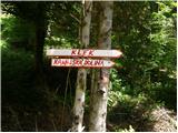 2
2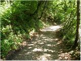 3
3 4
4 5
5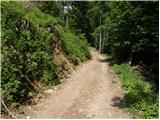 6
6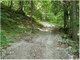 7
7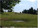 8
8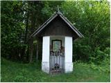 9
9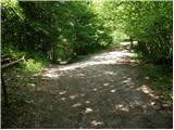 10
10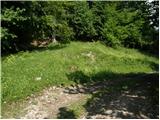 11
11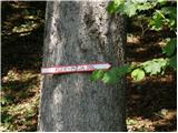 12
12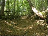 13
13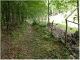 14
14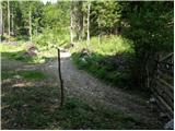 15
15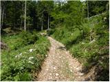 16
16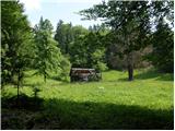 17
17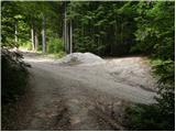 18
18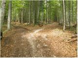 19
19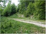 20
20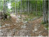 21
21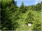 22
22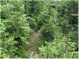 23
23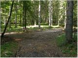 24
24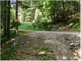 25
25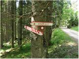 26
26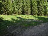 27
27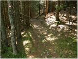 28
28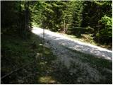 29
29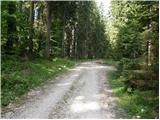 30
30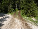 31
31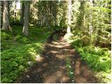 32
32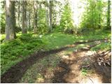 33
33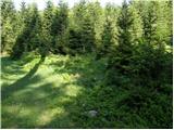 34
34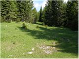 35
35 36
36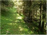 37
37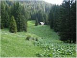 38
38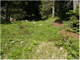 39
39 40
40 41
41 42
42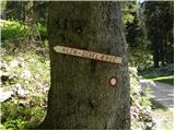 43
43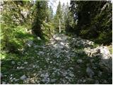 44
44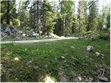 45
45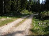 46
46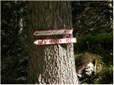 47
47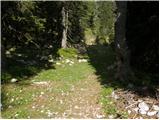 48
48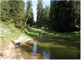 49
49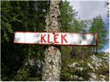 50
50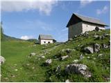 51
51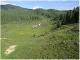 52
52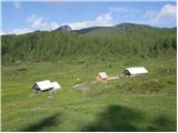 53
53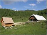 54
54 55
55 56
56 57
57 58
58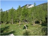 59
59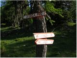 60
60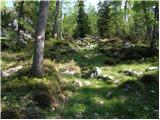 61
61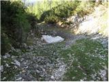 62
62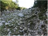 63
63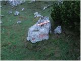 64
64 65
65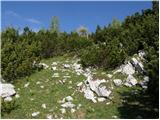 66
66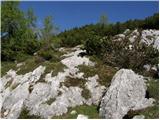 67
67 68
68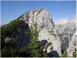 69
69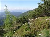 70
70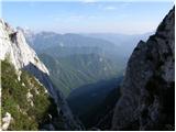 71
71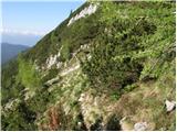 72
72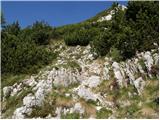 73
73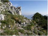 74
74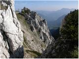 75
75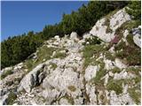 76
76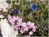 77
77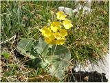 78
78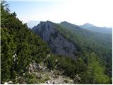 79
79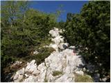 80
80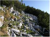 81
81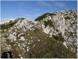 82
82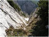 83
83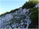 84
84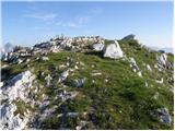 85
85 86
86
Discussion about the trail Krnica - Debela peč
|
| grdksmrt27. 07. 2012 |
Ravnokar sem se vrnil iz te turce, ki sem jo danes opravil. Rad bi opozoril, da je nujno potrebno obnoviti nekatere markacije in ponovno pritrditi table. Ena tabla je kazala v napačno smer, drugo pa smo celo našli na tleh. To nam je podaljšalo izlet za minimalno 2 uri saj so omenjene table ravno v gozdnatem delu poti. Prav tako ne bi škodilo obnoviti markcije v gozdnatih predelih (pred vzponom na Klek)saj so ponekod zelo skrite in zbledele. Ne bi pa tudi škodilo dodati par novih oznak še posebej na razcepih, v gozdu (ogromno je sečnih poti) in na planini Klek. Tam se pot porazgubi. Celotne ture ne bi priporočal vsakomur saj je naši ekspediciji gor in dol vzela kar nekaj ur. Prav tako pa je tik pod vrhom malce zahtevnejši vzpon pri katerem je potrebno uporabljati roke in noge. Vsekakor se mi ta pot ni zdela lahka označena pot. Potrebno je upoštevati, da je treba iz hriba priti še v dolino  Priporočam pa vsem da se za spust raje odločijo za smer planine Lipanca saj se pot po dobrih pol ure hoje odcepi tudi za Klek. Razgled pa je na Debeli peči čudovit!!!
|
|
|
|
| grdksmrt29. 07. 2012 |
Imam pa eno vprašanje:
Morda kdo ve ali je Klečnica pod Debelo pečjo le greben ali je to kakšen vrh?
|
|
|
|
| toggleff20. 08. 2013 |
I startet form a Place near the Klek. In 2 hours i came to the top. in 1,5 hours i came back to my car. It is an beaughtyfull way. Yes you have to use our hands to klimb, but it is very easy and not dangerous.
|
|
|
|
| di12. 10. 2025 17:34:16 |
Predvsem prvi del poti (ki ima veliko cest, kolovozov, odcepov …) do Klek je na več ključnih razcepih neoznačen (je nemarkirano oz. ni smernih tabel).
Današnje razmere: megla (kot v grozljivki), ostanki snega, smreke (na slikah) so v naravi zrasle.
|
|
|