Kostanjevica na Krasu - Fajti hrib
Starting point: Kostanjevica na Krasu (295 m)
| Lat/Lon: | 45,8451°N 13,6438°E |
| |
Time of walking: 1 h 10 min
Difficulty: easy unmarked way
Altitude difference: 138 m
Altitude difference po putu: 195 m
Map: Goriška - izletniška karta 1:50.000
Recommended equipment (summer):
Recommended equipment (winter):
Views: 1.160
 | 2 people like this post |
Access to the starting point:
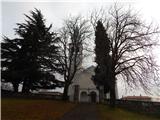
a) Leave the expressway through the Vipava Valley at the exit for Šempeter and Nova Gorica, then continue straight on from the nearby junction towards the industrial zone and Itali. A little further on, turn left towards Vrtojba and Mirno, and follow the signs for Miren, Komen and Opatje Selo. When the Miren settlement ends, there are some serpentine climbs up to the Kraška plateau, and we follow the road to the Kostanjevica na Krasu settlement, where we turn left towards Temnica and Lipa, and park in Kostanjevica at a suitable place near the church.
b) Drive to Nova Gorica, then continue to Šempeter pri Gorici and on to Vrtojba and Mirno, then follow the signs for Miren, Komen and Opatje Selo. When the Miren settlement ends, there are some serpentine climbs up to the Karst Plateau, and we follow the road to the Kostanjevica na Krasu settlement, where we turn left towards Temnica and Lipa, and in Kostanjevica we park in a suitable place near the church.
Path description:
From the crossroads on the east side of the church, take the side road with signs for the Russian Cave. The way ahead leads along a dirt road, first passing a larger building on the left and then the abandoned territorial defence buildings in Kostanjevica na Krasu on the right. A few minutes further on, take the left fork in the road (on the right you will reach the ridge of the Black Hills between Veliki vrh and Renškim vrh), and then continue down the road at an easy descent.
After a while, when you start to climb gently, continue right from the triangular crossroads (left Ruska jama and Cerje), then climb moderately up to the pass, where you will reach the marked path Cerje - Trstelj.
Leave the road at the preval and continue left (right Trstelj), then start climbing along the mountain path, which leads us in a few minutes to the top of Fajtega hill.
Description and pictures refer to the situation in February 2020.
Pictures:
 1
1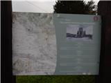 2
2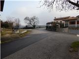 3
3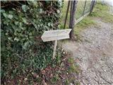 4
4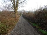 5
5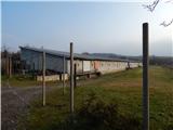 6
6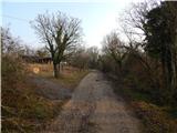 7
7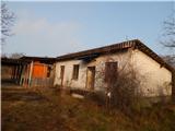 8
8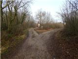 9
9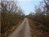 10
10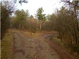 11
11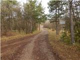 12
12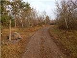 13
13 14
14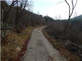 15
15 16
16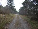 17
17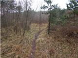 18
18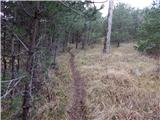 19
19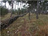 20
20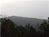 21
21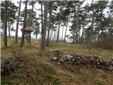 22
22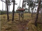 23
23
Discussion about the trail Kostanjevica na Krasu - Fajti hrib