Starting point: Komarna vas (680 m)
| Lat/Lon: | 45,672°N 15,0833°E |
| |
Time of walking: 1 h
Difficulty: easy marked way
Altitude difference: 275 m
Altitude difference po putu: 285 m
Map: Dolenjska - Gorjanci, Kočevski Rog 1:50.000
Recommended equipment (summer):
Recommended equipment (winter):
Views: 11.668
 | 4 people like this post |
Access to the starting point:
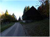
From Ivančna Gorica or Novo Mesto, drive to Podturn pri Dolenjskih Toplicah, then continue in the direction of Črnomelj. Follow the road to Črmošnjice, and at the first crossroads turn right in the direction of the ski resort Gače (SC Bela) and Komarna village. After about 2 km of ascent, you will reach a crossroads where you turn right in the direction of Kočevje. The relatively steep road continues to lead us higher out of the forest, where we come to several successive small crossroads. Continue left, passing a large farm and the Komarna vas burial site, and then come to a large house, where you will see markings directing you to a footpath (cross-country ski trail in winter). Park in a suitable space in front of or behind the house.
Access from Bela krajina: First drive to Semič, then continue driving in the direction of Dolenjske Toplice. Follow the road to Črmošnjice, then at the crossroads, just 10 m before the end of the village, turn left towards the ski resort Gače (SC Bela) and Komarna village. Continue as described above.
Path description:
From the starting point, follow the wide marked footpath (a track or, in winter, a cross-country track), which climbs through the wods with barely a noticeable incline. After about 15 minutes of walking, you emerge from the forest into a large clearing, at the edge of which is a small caravan.
From the clearing, continue in roughly the same direction as you have been walking, ascending along an initially less visible track that quickly turns into a dense forest. The path, which gradually starts to climb a little steeper, leads us higher up to a forest road, which we only cross. Next, we climb moderately on the sometimes quite overgrown path, which leads us a little higher to another forest road. Follow the road to the left and it will quickly lead you to the SC Bela ski slope. Here the road turns sharp right and leads us past a mighty tree to the ruins, which are part of the memorial park at Gače. Continue along the increasingly scenic path, which leads past a small chapel to the registration box at Gača.
From the registration box, you can climb to one (or both) of the two view peaks of SC Bela in just over 5 minutes of further walking.

Pictures:
 1
1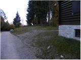 2
2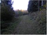 3
3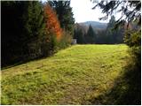 4
4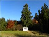 5
5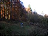 6
6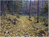 7
7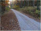 8
8 9
9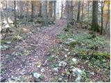 10
10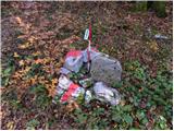 11
11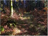 12
12 13
13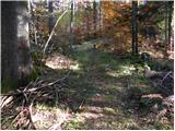 14
14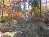 15
15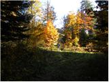 16
16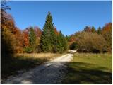 17
17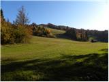 18
18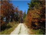 19
19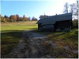 20
20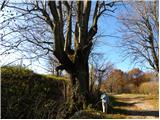 21
21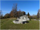 22
22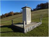 23
23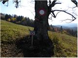 24
24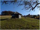 25
25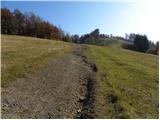 26
26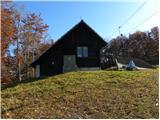 27
27 28
28
Discussion about the trail Komarna vas - Gače
|
| Onboard29. 12. 2020 |
Od kontejnerja na jasi do cilja, je pot precej zaraščena in neuhojena. Pot je dobro markirana. Na vrhu ste nagrajeni z lepim razgledom. Nazaj smo se vračali po cesti.
|
|
|