Starting point: Kočna (660 m)
| Lat/Lon: | 46,4179°N 14,0831°E |
| |
Name of path: via Vrše
Time of walking: 1 h 20 min
Difficulty: easy unmarked way
Altitude difference: 271 m
Altitude difference po putu: 316 m
Map: TNP 1:50.000
Recommended equipment (summer):
Recommended equipment (winter): ice axe, crampons
Views: 2.342
 | 3 people like this post |
Access to the starting point:
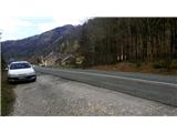
From the motorway Ljubljana - Jesenice take the exit Lipce, where you turn left in the direction of Blejska Dobrava and Spodnje Gorje. Soon after crossing the railway underpass, we are at the next crossroads, where we turn right - Bled, Kočna. The road, serpentine at first, climbs straight westwards and soon reaches the summit or settlement of Kočna in a left turn. Our starting point is on the left side of the road, a few metres before the local sign. Because of the unbroken line, continue past the first houses, where you will see a bus stop on the right. Here we turn around and go back, almost to the bend, before descending back down into the valley. We stop in a gravel parking lot.
Path description:
From the starting point, follow the road back towards the village. After 250 m, a few metres before the bus stop, turn right onto a narrow, asphalted side road on your left, which takes you past a few houses and up a small hill. After a left turn, the road becomes flat and loses its asphalt surface, leading to a larger meadow. Continue along cart track, which initially keeps slightly to the left and climbs slightly along the edge of the wood, passing a pasture on the right. Soon you will find yourself on a saddle between two peaks - Žerjavec and Vršami, where there is a crossroads. Here, take a sharp right onto the first (initially rough) path, which climbs uphill (the second is a gentle path to Blejska Dobrava). After a short climb, you will come across a bench and continue along this path, which narrows further and climbs a little steeper towards the summit of Vrš. After the path turns left and the steepness eases, you can enjoy the view of Koroška Bela and Javorniški Rovt. In a short while we enter a mixed grove, through which, after a short and slight ascent, the path leads us to the top of the 850 m high hill Vrše, where its neighbour, our target peak - Boršt - appears straight in front of us (to the south). We therefore continue along the path, which descends on a grassy slope. When the path soon turns right downhill to the north-west, leave it and continue straight ahead, slightly uphill (ignoring the path into the forest on the left), where you will see a path that leads you into the forest in a few steps. Soon, the initially traceable path turns slightly to the left and then seemingly disappears, which is why you need to pay attention to the markings (red lines) on the trees. After the path has descended only slightly for a few steps, it turns sharp right at the second marker, and after a short gentle section (retraceable) descends the wooded slope. There is only a slight ascent, after which the path, which turns slightly to the left, leads to the forest logging trail. Once on it, bear left uphill to the south-east. Shortly before the logging trail is due to lead out of the forest at the start of a large clearing, leave it and take a sharp right onto another (train) which climbs steeply up the eastern slope of Boršt towards its summit. Here you may notice a "Notice" to walkers on the trunk of one of the spruces. During the steep ascent, keep to the right side of the "marked direction" mentioned in the notice, which means that you do not walk along logging trail all the time, but occasionally along the track to its right, which is slightly sloping all the way to the top (walking along logging trail will also take you to your destination). Since the top of Boršt does not offer us a special view of the valley, we can enjoy it on the eastern slope, a few metres lower. Here we can see all the way from Pustý rovt on the left, through Karawanks and part of the Kamnik Alps, and the vast Ljubljana basin, to the slopes of Jelovice on the right.

Pictures:
 1
1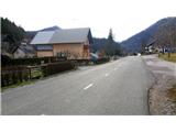 2
2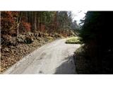 3
3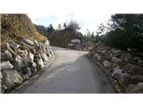 4
4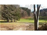 5
5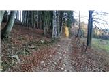 6
6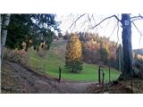 7
7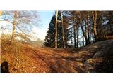 8
8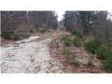 9
9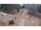 10
10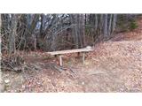 11
11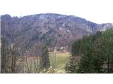 12
12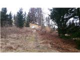 13
13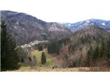 14
14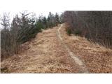 15
15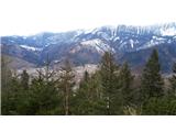 16
16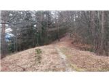 17
17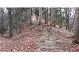 18
18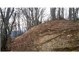 19
19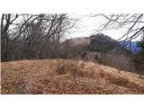 20
20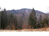 21
21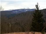 22
22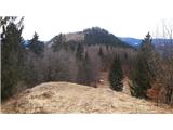 23
23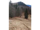 24
24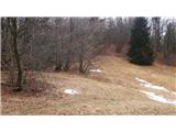 25
25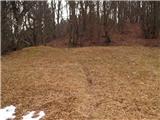 26
26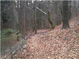 27
27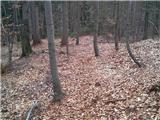 28
28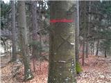 29
29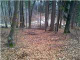 30
30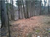 31
31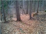 32
32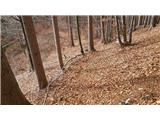 33
33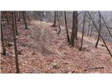 34
34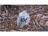 35
35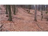 36
36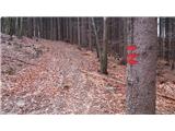 37
37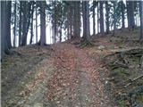 38
38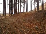 39
39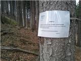 40
40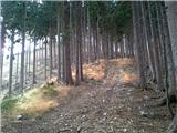 41
41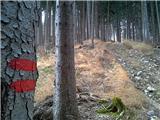 42
42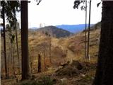 43
43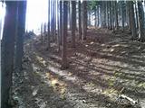 44
44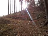 45
45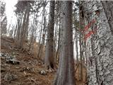 46
46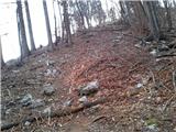 47
47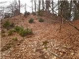 48
48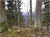 49
49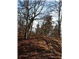 50
50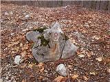 51
51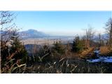 52
52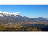 53
53
Discussion about the trail Kočna - Boršt (via Vrše)