Kamna Gorica - Ažmanov rovt
Starting point: Kamna Gorica (459 m)
| Lat/Lon: | 46,3167°N 14,1889°E |
| |
Time of walking: 2 h 30 min
Difficulty: easy unmarked way
Altitude difference: 501 m
Altitude difference po putu: 565 m
Map: Karavanke - osrednji del 1:50.000
Recommended equipment (summer):
Recommended equipment (winter): ice axe, crampons
Views: 361
 | 1 person likes this post |
Access to the starting point:
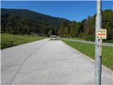
a) From the motorway Ljubljana - Jesenice take the exit Naklo, Podtabor or Brezje, then continue in the direction of Kropa. At the junction where the road continues straight on towards Kropa, turn right and continue a little further to Kamna Gorica, where at the end of the settlement you can park on the left hand side in the parking lot near the cemetery and ski resort.
b) From the motorway Jesenice - Ljubljana, take the exit Lesce or Radovljica, then continue in the direction of Radovljica and later the villages Lancovo, Lipnica and Kamna Gorica. When you arrive in Kamna Gorica, park in the parking lot near the cemetery and ski resort.
Path description:
From the parking lot, continue along the main road towards Radovljica, and at the road sign marking the end or beginning of Kamna Gorica, turn slightly left, to cart track, where you will be directed by the signpost for Vodice na kozolcu. The trail initially leads us along the foot of the Kamna Gorica ski slope, from where we get some views of the Julian Alps two-thousanders, where we can see Škrlatica most beautifully, and then cart track turns into a forest and starts to climb steeply. Cart track quickly lays down and leads to a belt of sparse forest where we continue straight ahead. Through a clearing of some kind you pass a spring, and when the path returns to the forest it slowly turns to the left, where you arrive at a marked crossroads.
Continue along the left-hand cart track in the direction of Vodice, and a little higher up a beautiful view opens up in the direction of Storžič and the Karavanke Mountains. When we return to the forest, at the crossroads we continue straight ahead or along the cart track, which looks wider. Higher up, you reach a small valley, where you keep to the right forks and the wider cart track narrows and more frequent markings appear along the way. From the old cart track go left onto the abandoned logging trail, climbing quite steeply, and at the forks follow the markings, which are quite frequent here. When you reach the area called Lazi, you will see older cairns on the right, and the path turns slightly to the left here. Higher up, the train changes to a wider path that climbs in curves. This path leads us higher up to a crossroads, from which we continue slightly right in the direction of Suharna (slightly left Vodice).
The following crossing is without major ascents or descents, and after a few minutes of crossing, the path along which there are still markings leads us to a forest road, along which we continue our journey. While walking along the road, a path branches off to the right down to the Suharna lookout point (unmarked), and two paths branch off to the left towards Vodice (marked). After about 10 minutes of walking along the road, we arrive at Razpoka, where a hut located on the edge of the plateau opens up a beautiful view of Gorenjska and Karawanks.
From the crossroads at Razpoku, turn right and continue walking along the macadam road that leads along the edge of the plateau. During a slight descent, we occasionally get a nice view of the Karavanke Mountains, and a little further on Julian Alps, where we can see Triglav. The road continues along the edge of Jelovica, retreats slightly to the left and leads us to Ažmanov rovt, where a few cottages stand.
Kamna Gorica - Razpok 2:00, Razpok - Ažmanov rovt 0:30.
Description is as of September 2019, images are from May and September 2019.

Pictures:
 1
1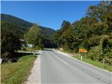 2
2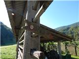 3
3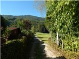 4
4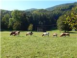 5
5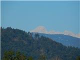 6
6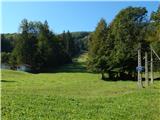 7
7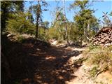 8
8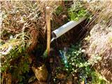 9
9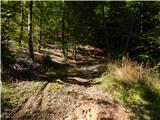 10
10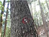 11
11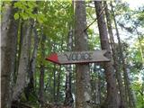 12
12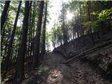 13
13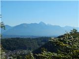 14
14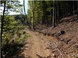 15
15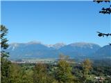 16
16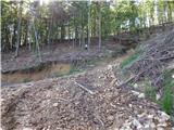 17
17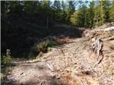 18
18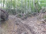 19
19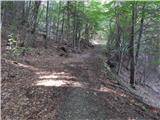 20
20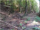 21
21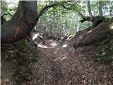 22
22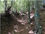 23
23 24
24 25
25 26
26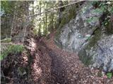 27
27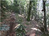 28
28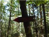 29
29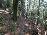 30
30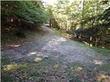 31
31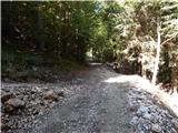 32
32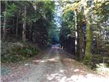 33
33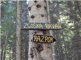 34
34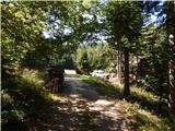 35
35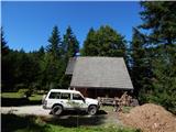 36
36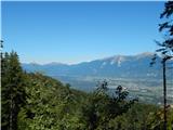 37
37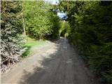 38
38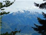 39
39 40
40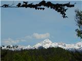 41
41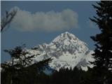 42
42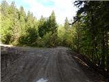 43
43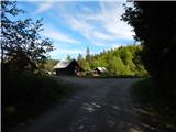 44
44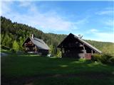 45
45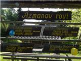 46
46
Discussion about the trail Kamna Gorica - Ažmanov rovt