Idrija - Vojsko (hunting path)
Starting point: Idrija (325 m)
| Lat/Lon: | 46,0008°N 14,0249°E |
| |
Name of path: hunting path
Time of walking: 4 h 15 min
Difficulty: easy marked way
Altitude difference: 752 m
Altitude difference po putu: 955 m
Map: Idrijsko in Cerkljansko 1:50.000
Recommended equipment (summer):
Recommended equipment (winter): ice axe, crampons
Views: 5.544
 | 1 person likes this post |
Access to the starting point:
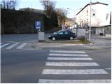
a) First drive to Logatec, then continue driving towards Idrija. When you arrive in Idrija, pay attention, because at the main intersection you will leave the main road leading to Tolmin and turn left towards the town centre. Park a few 100 m further on in the parking lot next to the main bus station.
b) From Most na Soči or Podbrdo, drive to Bača near Modre, then continue to Idrija. When you arrive in Idrija, pay attention, because at the main crossroads you will leave the main road leading to Logatec and turn right towards the town centre. Park a few 100 m further on in the parking lot next to the main bus station.
Path description:
From the parking lot, continue along the road through the centre of Idrija. After a short walk through the town, you arrive at a crossroads, where you continue left in the direction of Čekovnik and Vojsko. The road, which begins to climb slightly, leads you just a little higher to the next crossroads. Continue in the familiar direction towards Čekovnik and Vojsko, and we follow the slightly steeper road to the next junction, at which we see signs for Hleviška planina.
Here the road sign for Hleviška planina points left, and we continue right towards Vojsko. From the crossroads, follow the road towards Vojsko for another 60 m, then turn left onto a narrow and steep road that quickly climbs above Idrija. At the last houses in Čopičeva Street, you get a nice view of most of the town, and the road turns into a cart track, which you follow up to a nearby forest road.
The road reaches a small chapel, at which there is also a crossroads of several paths. Continue to the right (straight ahead along the forest path Pšenk), where you will immediately reach the next crossroads.
Here, continue left up a steep path marked hunting trail (straight ahead on the road - Hleviška planina across Kodrov rovt). The path ahead begins to climb steeply through the forest, but soon becomes steep. There is a cross-climb to the left, where after a few minutes we reach the relatively new logging trail, which leads us to a crossroads of several cart tracks. At this crossroads, turn right onto a wide footpath, which continues to climb moderately through the forest. The path continues through a stand of hemlock and past a bench, further to the left. Higher up, you reach an indistinct ridge where the path curves slightly to the right and becomes slightly more upright. After a short steep climb, we reach a minor forest road and follow it to the right. A little higher up, we join a wider macadam road, which quickly leads us to a marked crossroads where we join the path over Kodrov rovt.
Continue straight ahead and follow the road, which is closed to public traffic. This road, which soon leads out of the forest, is followed all the way to Koča na Hleviški planini, which is reached after a further walk of just over 5 minutes.
From the hut, continue in the direction Hleviška planina and follow the path as it enters the forest and begins to climb steeply. The way forward initially leads us along the edge of the ridge, then gradually passes into a small valley, where it also lays and after which we climb to the top of Hleviška planina.
From Hleviše mountain pasture we continue along the ridge, then the path turns left and starts to descend steeply. When the slope is bearable, an unmarked trail branches sharply to the right back towards the hut at Hleviška planina, and we continue straight ahead, following the trail as it continues along and along the ridge connecting Hleviše mountain pasture with the adjacent summit. The path continues with some ascents and descents, mostly through the forest. The previously mentioned neighbouring peak Blaškova planina is passed on the right and then the path returns to the forested ridge where, after a further gentle descent, a marked crossroads is reached.
Here continue straight ahead (left down Tratnik and Idrijske klavže) and the path, which continues through the forest, gradually becomes a track. The cart track, which slowly turns more and more to the right, soon passes Mohoričev vrh (975 m) on the right. On the other side of the summit, the track widens further and leads to a nearby residential house, which is bypassed on the right-hand side, as the path leads under the carport of the nearby garage. The path continues along the cart track, which crosses a scenic meadow, which is situated above some houses in the nearby hamlet. The path returns briefly to the forest, then descends to an asphalt road, which is followed to the right to a nearby crossroads.
At the crossroads, where there are information boards, turn left towards Vojsko (Idrija on the right) and continue along the asphalt road. The way ahead leads us across Kočevše, where you will be able to see the rock hermits (Choki, Trdini) on the left in the middle of the meadows. Continue along the road, which passes into the lane of the forest, and then the road is re-laid and leads us to a small crossroads, where a road branches off to the right to the nearby tourist farm Pri belem kamnu (At the White Stone). Continue straight on here and at all subsequent junctions in the same way. The road, which occasionally continues through the woods, but mostly through vast meadows, with views of the Trnov Forest and the surrounding hills, leads us after about an hour's further walking to the Church of St. Joseph at Vojsko, from where a fine view opens up towards Škofjeloško and the Cerkljansko hills, and, with good visibility, also towards the Julian Alps.

We can extend the trip to the following destinations: Hudournik
Pictures:
 1
1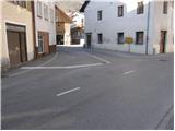 2
2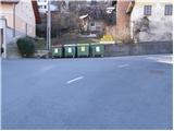 3
3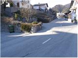 4
4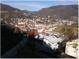 5
5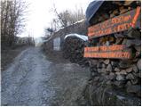 6
6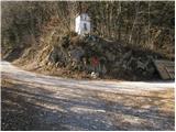 7
7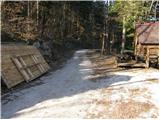 8
8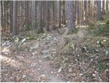 9
9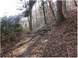 10
10 11
11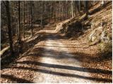 12
12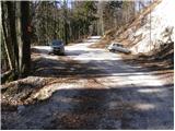 13
13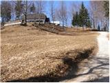 14
14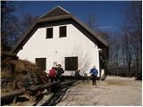 15
15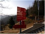 16
16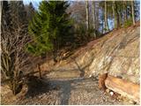 17
17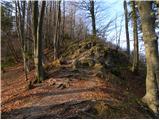 18
18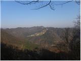 19
19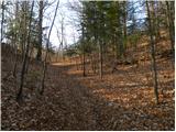 20
20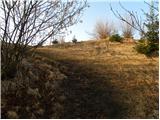 21
21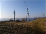 22
22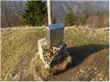 23
23 24
24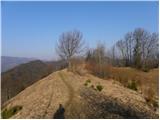 25
25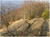 26
26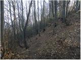 27
27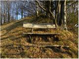 28
28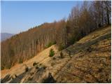 29
29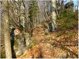 30
30 31
31 32
32 33
33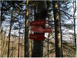 34
34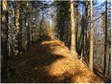 35
35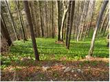 36
36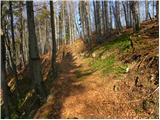 37
37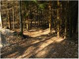 38
38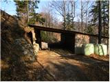 39
39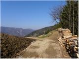 40
40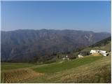 41
41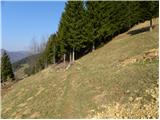 42
42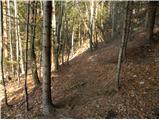 43
43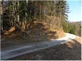 44
44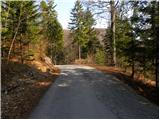 45
45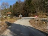 46
46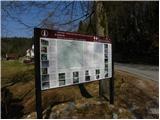 47
47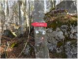 48
48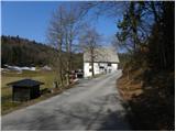 49
49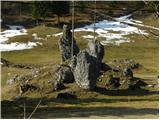 50
50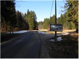 51
51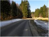 52
52 53
53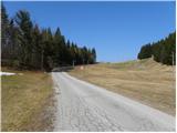 54
54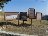 55
55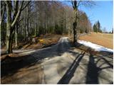 56
56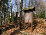 57
57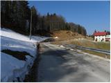 58
58 59
59 60
60 61
61 62
62 63
63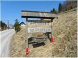 64
64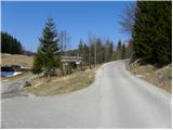 65
65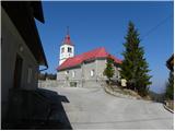 66
66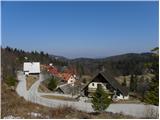 67
67
Discussion about the trail Idrija - Vojsko (hunting path)