Hrastnik - Kal (Kalski hrib) (via Ravne)
Starting point: Hrastnik (290 m)
| Lat/Lon: | 46,1493°N 15,0852°E |
| |
Name of path: via Ravne
Time of walking: 2 h 25 min
Difficulty: easy marked way
Altitude difference: 695 m
Altitude difference po putu: 695 m
Map:
Recommended equipment (summer):
Recommended equipment (winter): ice axe, crampons
Views: 8.800
 | 1 person likes this post |
Access to the starting point:
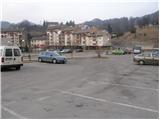
From Trbovlje or Laško, drive to Hrastnik, then continue in the route "Hrastnik centre and Čeče village". Follow this road until you see signs for the Rajska dolina ski resort. Turn right here and after a few metres park in one of the many car parks in Hrastnik.
Path description:
From the centre of Hrastnik, continue along the asphalted road towards the villages of Boben and Čeče. Follow the road, which soon leaves Hrastnik and continues climbing along the Boben stream, to the beginning of the village of Boben. At this point, turn right, cross the bridge and continue climbing towards Kala and Mrzlica along the road, which turns into the initially folded cart track after the houses. Cart track quickly turns into the woods, where it climbs alongside a pleasant stream, then turns left and climbs steeply.
The path soon leaves the woods onto wide grassy slopes, which are then crossed by an occasionally slightly less visible track. Higher up, the path leads to an asphalted road in the hamlet of Ravne, through which we continue in the direction of Kalo. A little further on, the signs for Kal direct us to the right on a less good road, which quickly turns into a pleasant path, which we then climb up a partly grassy slope.
After a while, the path leads us to a road, which we follow for just over 100m to a left turn, in the middle of which a marked footpath branches off to the right. The ascent continues along the initially wide cart track, which leads us in a moderate ascent, mostly through the forest, to a place where the path over Klobuk joins us from the right.
Continue left, cross the road and continue climbing along the marked footpath, which ascends over a grassy slope with a view. Higher up, the steepness eases and the path joins the road, which is then followed all the way to the mountain lodge at Kal.
From the house, follow the path on the left (direction of arrival), which crosses a fence and goes into the forest. After a few minutes of further walking, you will see signs for the summit of Kala, which direct you to the left on a slightly steeper footpath, which will take you up to the summit in a few steps.

We can extend the trip to the following destinations: Mrzlica
Pictures:
 1
1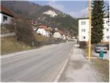 2
2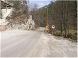 3
3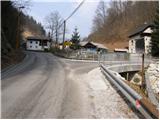 4
4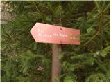 5
5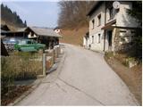 6
6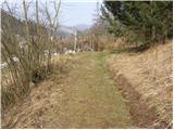 7
7 8
8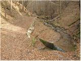 9
9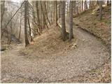 10
10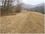 11
11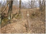 12
12 13
13 14
14 15
15 16
16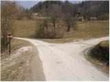 17
17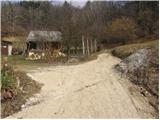 18
18 19
19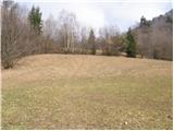 20
20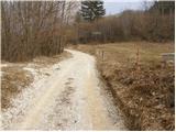 21
21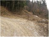 22
22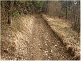 23
23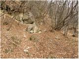 24
24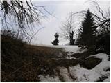 25
25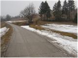 26
26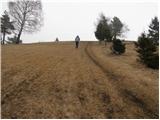 27
27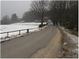 28
28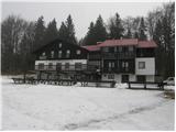 29
29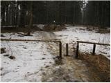 30
30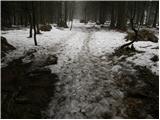 31
31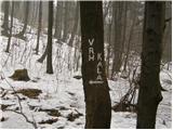 32
32 33
33
Discussion about the trail Hrastnik - Kal (Kalski hrib) (via Ravne)