Grčarevec - Laze (čez Vranjo jamo)
Starting point: Grčarevec (490 m)
| Lat/Lon: | 45,87272°N 14,21312°E |
| |
Name of path: čez Vranjo jamo
Time of walking: 1 h 30 min
Difficulty: easy marked way, partly demanding marked way
Altitude difference: -40 m
Altitude difference po putu: 348 m
Map: Laze
Recommended equipment (summer): lamp
Recommended equipment (winter): helmet, lamp
Views: 375
 | 1 person likes this post |
Access to the starting point:
a) From Ljubljana, drive to Kalce, then turn left at the crossroads in the direction of Koper and Postojna.
b) From Godovič, drive to Kalce near Logatec and turn left at the crossroads in the direction of Koper and Postojna.
c) From Ajdovščina, Predmeja or Črni Vrho nad Idrijo, take the Col exit and continue to Kalce pri Logatcu. At the crossroads at Kalce, turn left in the direction of Koper and Postojna.
d) From Koper, leave the motorway at exit Unec, then follow the signs for Mountain pasture and the signs for Mountain pasture along the old road.
Park at the bus stop in Grčarevec.
Path description:
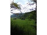
In Grčarevec, head downhill towards a karst field. Walk along the field with Unica for half an hour, then at the crossroads, follow the sign Laze across Vranjo jamo for 1h 10 min. The trail goes uphill on gravel, and after five minutes there are two direction signs on a tree. One points straight ahead, the other to the right, both without inscriptions. We turn right at cart track. We walk for five minutes through the woods and find a rock with arrows on the left. One arrow points straight ahead, the other points to a path uphill. We go straight ahead, and after a few steps there is an arrow on the ground again by the marker. Cart track turns into a path, which soon turns to the right. The terrain becomes difficult and slopes downwards, and there is a sink called Pod Stenami. We are accompanied by triangular markings, which are a sign that we are approaching the cave. We arrive at a crossroads of two paths, both without direction signs. We choose the right path, while the left one goes past the rock mound to Skedeni Cave.
After two minutes, we reach a direction sign with the inscription Laze. Follow it and follow the path up between the rocks for ten minutes. There is a danger of slipping in the wet at this part, the right edge of the path runs along the wall of the Under the Walls sink. The trees are rooted even in the sink (this does not mean that the wall is not almost vertical). We are balancing on a narrow path between the Under the Walls sink and the cave. The trees along the way will unfortunately be only a fragile help (check them before holding on). A view of the field opens up, and we are already facing a steep climb. After fifteen minutes of scrambling between the rocks, they will disappear and the path will flatten out. Another five minutes and the canopy will appear from the cave on the right. This is the Crow Cave and we can already feel the chill from here. The path runs close to the edge, where there are rocks (if you walk to the edge, you'll trip over them pretty quickly. After a minute or two, you will reach a wooden fence, and from here the path leads to the entrance of the Crow Cave. The path (only partially marked) first turns towards the wall and then runs between the trees. The temperature drops by two degrees with every minute walked. It will take five minutes to descend to the point where you can see the entrance. If you want to go inside the cave, it will be difficult in the rain (because of the flow).
It is only a short, easy walk from Vranje Cave to Laz. Ten minutes on macadam (past Najdene Cave) to reach the junction with the asphalt road, which will take us to our destination in fifteen minutes.

Pictures:
 1
1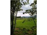 2
2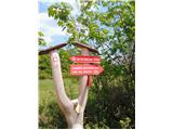 3
3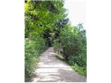 4
4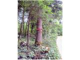 5
5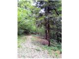 6
6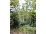 7
7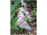 8
8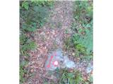 9
9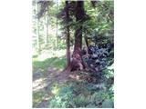 10
10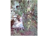 11
11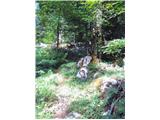 12
12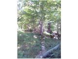 13
13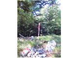 14
14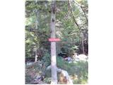 15
15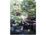 16
16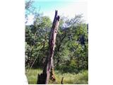 17
17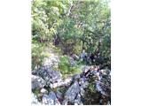 18
18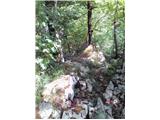 19
19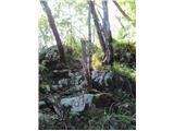 20
20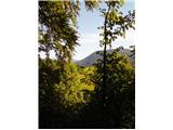 21
21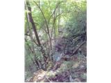 22
22 23
23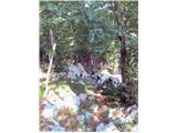 24
24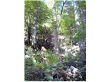 25
25 26
26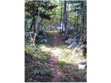 27
27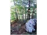 28
28 29
29 30
30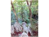 31
31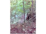 32
32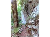 33
33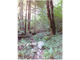 34
34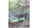 35
35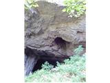 36
36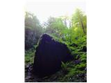 37
37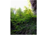 38
38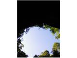 39
39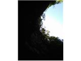 40
40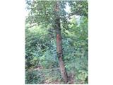 41
41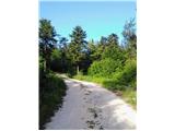 42
42
Discussion about the trail Grčarevec - Laze (čez Vranjo jamo)