Grad - Kripta (western path)
Starting point: Grad (267 m)
| Lat/Lon: | 46,80119°N 16,09217°E |
| |
Name of path: western path
Time of walking: 30 min
Difficulty: easy unmarked way
Altitude difference: 64 m
Altitude difference po putu: 70 m
Map: Pomurje 1:40.000
Recommended equipment (summer):
Recommended equipment (winter):
Views: 333
 | 2 people like this post |
Access to the starting point:
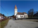
a) Drive to Radenci, then continue to Gederovci and Kuzma. From the roundabout in Gederovci, continue towards Kuzma, and after Pertoča, turn right towards Grad. When you arrive in Grad, continue straight ahead at the Spar shop and drive a little further to the parish church of St. Mary of the Assumption, where you park in the parking lot in front of the church.
b) From Murska Sobota, drive towards Gederovci, and in Černelavci, turn right towards Grad. Continue through a few more settlements, where you exit the crossroads in the direction of Grad. Once you arrive in Grad, drive past the Spar shop to the parish church in Grad, and park in the parking lot next to it.
Path description:
From the church parking lot, walk to the main road and follow it south-west. Walking along the pavement, the path leads you past the football pitch, and when you reach the crossroads under the Spar shop, continue straight on in the direction of Dolnji Slaveči (to the left is the Castle Castle and one of the paths to Kripta).
Just 10 steps further, in front of the Maxen petrol station, signs direct you to the left, onto a side road which turns right at a large dilapidated building. Walk between the field on the left and the dilapidated building on the right, where a small ramp to the left forks off the poorly-beaten and often overgrown northern path to Kripta, and we continue along the wider cart track, which turns slightly to the right, and continues to lead us alongside the field. The way ahead leads us between the forest on the left and the stream on the right, and when we reach the marked crossroads, we continue up the left in the direction of Graščak's path (the direction sign is from the opposite direction).
Follow the narrower older cart track, and at the smaller crossroads go right as the Graščak's Way sign directs you. A few minutes of steeper climbing through the forest follows and we arrive at the top of Kripta.
Description and pictures refer to the situation in February 2021.

Pictures:
 1
1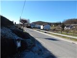 2
2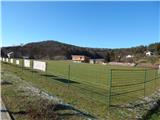 3
3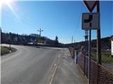 4
4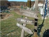 5
5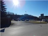 6
6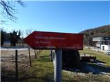 7
7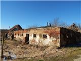 8
8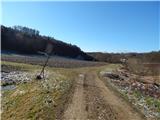 9
9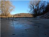 10
10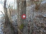 11
11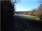 12
12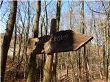 13
13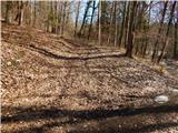 14
14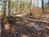 15
15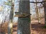 16
16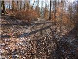 17
17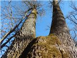 18
18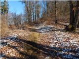 19
19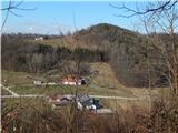 20
20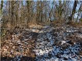 21
21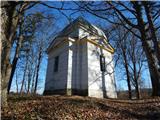 22
22
Discussion about the trail Grad - Kripta (western path)
|
| Janez Seliškar22. 02. 2021 |
Kripta je ena izmed točk 15 km dolge, krožne, Graščakove poti po Goričkem.
|
|
|