Gozd - Vovar (eastern path)
Starting point: Gozd (784 m)
| Lat/Lon: | 46,2578°N 14,6542°E |
| |
Name of path: eastern path
Time of walking: 45 min
Difficulty: easy unmarked way
Altitude difference: 156 m
Altitude difference po putu: 175 m
Map:
Recommended equipment (summer):
Recommended equipment (winter): ice axe, crampons
Views: 576
 | 1 person likes this post |
Access to the starting point:
a) Drive to Kamnik, then continue in the direction of the Črnivec Pass and Gornji Grad. After the settlement Krivčevo, drive along the main road towards the Črnivec Pass for a short distance and then turn right towards the settlement Gozd. When you arrive in Gozd, continue straight ahead from the first crossroads (St Anne's parish church in Gozd on the right), and turn right from the second crossroads after the two houses. From the next crossroads, go straight ahead (Laze on the left, the aforementioned church on the right), then immediately turn right again (the road to Brezje nad Kamnikom continues on the left) and pass a few houses to reach the parking lot near the mortuary.
b) Drive to the Volovljek or Črnivec pass, then start descending towards Kamnik. During the descent, leave the main road and continue driving to the left towards the village of Gozd. When you arrive in Gozd, go straight ahead from the first crossroads (St Anne's parish church in Gozd on the right) and turn right from the second crossroads after the houses. From the next crossroads, go straight ahead (Laze on the left, the aforementioned church on the right), then immediately turn right again (the road to Brezje nad Kamnikom continues on the left) and pass a few houses to reach the parking lot near the mortuary.
Path description:
From the parking lot, return to the nearby houses, where you continue straight from the crossroads (left the road from where you came to the starting point), and then the village ends quickly. There is an easy descent across the meadow, which opens up a beautiful view that reaches to the highest peaks of Kamnik Savinja Alps, and when the descent ends we start to climb moderately. We quickly reach a crossroads where a forest road branches off to the left, and we continue straight along the road leading further towards the village of Brezje nad Kamnikom. Approximately 50 metres further on, turn left off the road onto cart track, which leads cross-wise to the left and takes us slightly above a nearby meadow. There is a cross-climb to the left, and the path splits when it reaches an undistinguished ridge.
Straight ahead, the scenic route continues, and we continue right towards the bell and Vovar. From the crossroads, walk for another 10 steps along cart track, and then the signs for Vovar direct us left, initially steeply uphill. The steepness quickly eases, and when you reach the ridge you merge with the scenic route. Continue right and follow a fairly steep path to quickly reach the top of Vovar.
Description and pictures refer to March 2020.

Pictures:
 1
1 2
2 3
3 4
4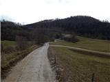 5
5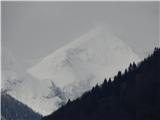 6
6 7
7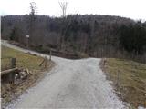 8
8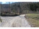 9
9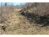 10
10 11
11 12
12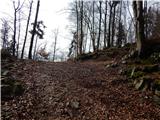 13
13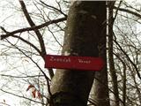 14
14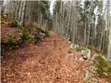 15
15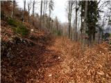 16
16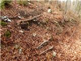 17
17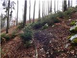 18
18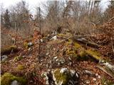 19
19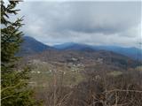 20
20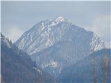 21
21 22
22 23
23 24
24 25
25
Discussion about the trail Gozd - Vovar (eastern path)