Gornje Jesenje - Sekolje (Strahinjčica)
Starting point: Gornje Jesenje (353 m)
| Lat/Lon: | 46,20613°N 15,90772°E |
| |
Time of walking: 1 h 15 min
Difficulty: easy unmarked way, easy marked way
Altitude difference: 386 m
Altitude difference po putu: 410 m
Map:
Recommended equipment (summer):
Recommended equipment (winter): crampons
Views: 145
 | 1 person likes this post |
Access to the starting point:
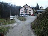
a) You arrive in Croatia via Border crossing Gruškovje / Macelj. Leave the motorway at the exit Đurmanec. In the village of Đurmanec, at the large roundabout, turn south towards Krapina. Once in Krapina, turn left east towards Žutnica, cross the railway line and go through the underpass. Now climb up to the beginning of the village of Gornje Jesenje, where you will see a road turning left into the hamlet of Galovici. Go left here and leave the vehicle at the Galović farm (car dealership).
b) From Prekmurje it is closer through Čakovec, Varaždin, Ivanec to Lepoglava, where we will turn in the direction of Trakoščan. In the village of Bednja turn right in the direction of Krapina. The turn-off for Galoviće is now at the end of the village of Gornje Jesenje, the signpost is not visible from this direction, but the markings and the tourist board help us.
Path description:
From the hamlet of Galovići, follow the asphalt uphill. The first part of the trail is on trail number 307. The trail quickly turns into a forest, but you leave it on a long, gently ascending pasture. At the top of the pasture, turn right and head west into the forest.
The path then leads to a service road behind the mountain lodge. Marked route 307 now turns right downhill and we will continue left up the road.
When the road reaches a sharp bend to the right, we take a narrower but well-maintained road and start to descend gently (there are hunting club signs at the crossroads).
After a few minutes of descending, you will reach the next crossroads, where you go uphill to the right.
The road continues past the last house in Gornji Jesenje (Brdo hamlet) and turns into the forest cart track. The way forward takes you mostly through the forest, and as you go along you come to a crossroads where you go left (it looks as if the right way up is the right way).
The way ahead gradually becomes more gentle, and we arrive at a small clearing. Beyond the clearing, we reach another crossroads, where we go right again.
The way ahead becomes slightly steeper and leads us to an unnamed pass between the main ridge of Strahinjčice and the Sekolje peak. From the prevala onwards we are again accompanied by markings, and at the crossroads we go left in the direction of peak Sekolje (right main graben, straight Radoboj) (when the description was made, the marking was quite overgrown).
From the crossroads, follow cart track, which first leads to the forest turning point cart track. Cart track then becomes quite steep and leads us along the western slope.
We leave Cart track and our route starts to climb up the ridge for a short time, then it flattens out and moves to the southern slope. A little further on is also the only place where we can miss, because the shortcut continues along the ridge, and we go right.
We continue walking on the level path for a minute or so, and then the steepest part of the path follows. After a few minutes of walking, we reach the top of Sekolje.
From the top, we get some views, but most of them are blocked by forest.

Pictures:
 1
1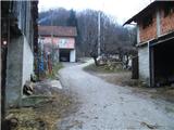 2
2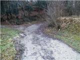 3
3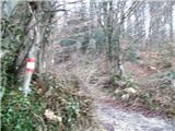 4
4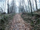 5
5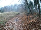 6
6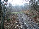 7
7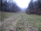 8
8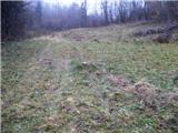 9
9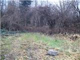 10
10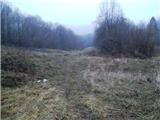 11
11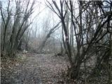 12
12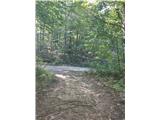 13
13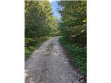 14
14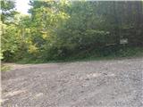 15
15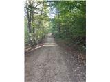 16
16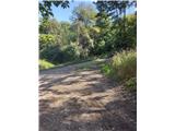 17
17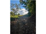 18
18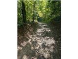 19
19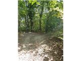 20
20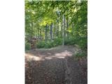 21
21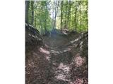 22
22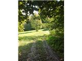 23
23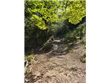 24
24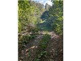 25
25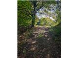 26
26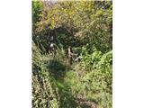 27
27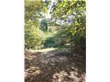 28
28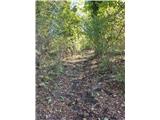 29
29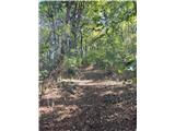 30
30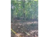 31
31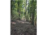 32
32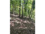 33
33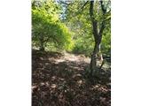 34
34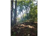 35
35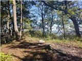 36
36 37
37
Discussion about the trail Gornje Jesenje - Sekolje (Strahinjčica)