Gornja Klada - Planinarski dom Zavižan
Starting point: Gornja Klada (370 m)
| Lat/Lon: | 44,8136°N 14,9066°E |
| |
Time of walking: 3 h 45 min
Difficulty: easy marked way
Altitude difference: 1224 m
Altitude difference po putu: 1224 m
Map:
Recommended equipment (summer):
Recommended equipment (winter):
Views: 5.645
 | 2 people like this post |
Access to the starting point:
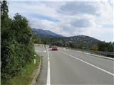
The drive along the Adriatic highway D8 from Rijeka, past Novi Vinodolski and Senj, is about 90 km, taking about two hours. At the sign "Gornja Klada", turn onto a side road leading to the above-mentioned place. Park about 300 m further from the local chapel.
Path description:
Follow the well-marked path as it gently climbs through a coniferous forest. On the way, a sign tells us that we have entered the Sjeverni Velebit Nature Park. At an altitude of about 500 m we start to climb a little steeper. The path leads us past wells that were once used by the locals as a source of drinking water for themselves and their livestock. Soon we have a magnificent view of the Kvarner islands of Rab, Goli, Sv. Grgur, Cres and Lošinj, and we can even see the whole of Istria with the almost 1 500 metre high peak of Učka. In the Bobrovača area, we pass a shepherd's homestead. Shortly afterwards, the road turns left uphill after Zavižan. The coniferous forest gradually turns into a very shady deciduous forest as you go along. After half an hour's walk, we reach first the first and then immediately the second well-marked branch of the mountain path towards our destination. Ciganišče is the area along our route where the Roma once lived. Then, along the way, we see the characteristic Velebit wells again. After half an hour's walk, we reach the Križići saddle, where, in fine weather, we again have a very nice view towards Kvarner. From Križići we quickly reach the Zavižan Mountain Lodge.

Pictures:
 1
1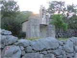 2
2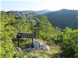 3
3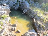 4
4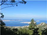 5
5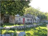 6
6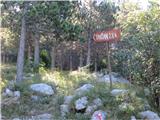 7
7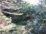 8
8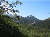 9
9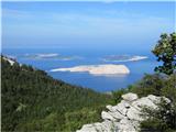 10
10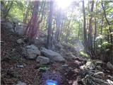 11
11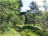 12
12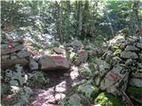 13
13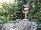 14
14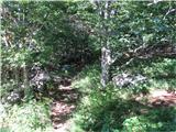 15
15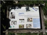 16
16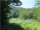 17
17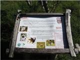 18
18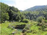 19
19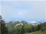 20
20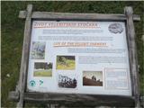 21
21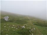 22
22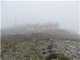 23
23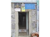 24
24
Discussion about the trail Gornja Klada - Planinarski dom Zavižan