Gorjuša - Murovica (via Dobovlje)
Starting point: Gorjuša (317 m)
| Lat/Lon: | 46,134°N 14,6268°E |
| |
Name of path: via Dobovlje
Time of walking: 2 h 40 min
Difficulty: easy marked way
Altitude difference: 426 m
Altitude difference po putu: 530 m
Map:
Recommended equipment (summer):
Recommended equipment (winter):
Views: 1.210
 | 2 people like this post |
Access to the starting point:
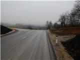
Leave the Štajerska motorway at exit Domžale, then follow the signs for Krumperk Castle. The road then leads past the SSK Sam Ihan ski jumps and continues along the high-voltage power line. There is some ascent, and then you reach a small prevala, where you cross the marked Domžale - Murovica trail. Park here in a suitable place by a wooden sign. Park in front of Krumperk Castle and Gorjuša.
Path description:
Near the sign, you will see markings directing you to a dirt track that begins to climb southwards. The moderately steep path leads us mainly through the forest, but higher up we are joined by a few more unmarked paths from nearby starting points. Follow this trail, with few signs at the crossroads, all the way to Veliki vrh, where there is a signing-in box with a signing-in book.
From Veliki vrh, continue straight ahead along the path, which begins to descend gently, and at the crossroads follow the few signs. A little lower, you come out of the forest and climb gently across the meadow to the macadam road, where there is a marked crossroads.
The marked path continues towards Sv. Trinity, and we follow the dirt road for a minute or two to the Church of St. Kunigunda.
From the church, we return to the last crossroads and then continue in the direction of Okleg and St Trinity. After leaving the forest for a few minutes, cross the route of the high-voltage power lines and then reach the Brdo pri Ihan Equestrian Centre, where you get onto the asphalt road. Follow the asphalt road downhill a little to the crossroads where the chapel is located, and then climb up the road that continues to the left of the chapel.
The way ahead is along the asphalt road towards the village Dobovlje. When we reach Dobovlje, an unmarked path branches off to the right towards the church of St Nicholas and towards Oklem, and we continue straight ahead, first slightly downhill, then along a gently sloping road that passes a few houses and through a meadow into the forest. In the forest, at a crossroads, continue straight ahead (right Oklo nad Ihanom), slightly ahead, and at the next crossroads, slightly right, onto a road with yellow and white markings. Before the road becomes asphalted, we join a path on the right that leads past Okleg, and we start to climb past the houses in Žeje. Here, go left at the first crossroads, and when you reach the main road, go right in the direction of Sv. Trojice.
The way forward leads us along the main road, where we walk past the fire station, the sports ground, and then we arrive in the village of Sveta Trojica. We continue along the road, following the signs of the Stations of the Cross, and when the road is laid, we continue to the left towards the Church of St Trinity, which is only a 2-minute walk away. From the church, return to the last crossroads, then continue left to the Zavrh Café, which you pass on your left. A little further on, you reach a crossroads at a sign, from where you continue along the upper right-hand side and continue along the asphalted road, which climbs moderately through the forest. Soon you will reach a small crossroads where a path branches off sharply to the right towards the ruins of the nearby castle and the castle fountain. Continue straight ahead and follow the road leading out of the forest to a hamlet of a few cottages, where there is also a small parking lot and mountain direction signs. From the signposts continue along the marked mountain path in the direction of Murovica and Ciclja. The way forward initially continues along the fence, and then gradually passes into a dense forest, through which it mostly climbs moderately. Higher up, the path turns slightly to the right, and we are joined on the left by a waymarked path from the village of Zgornja Javoršica. Continue straight ahead and after two minutes of further walking you will reach the top of Murovica, where there are several wooden benches.
Starting point - Veliki vrh 20 minutes, Veliki vrh - Tabor 15 minutes, Tabor - Sv. Trojica 1:15, Sv. Trojica - Murovica 50 minutes.

We can extend the trip to the following destinations: Cicelj
Pictures:
 1
1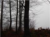 2
2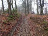 3
3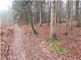 4
4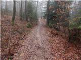 5
5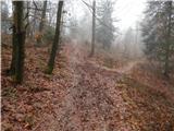 6
6 7
7 8
8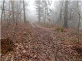 9
9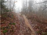 10
10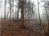 11
11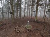 12
12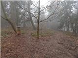 13
13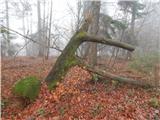 14
14 15
15 16
16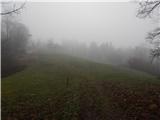 17
17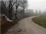 18
18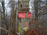 19
19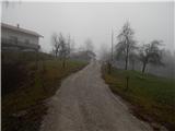 20
20 21
21 22
22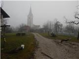 23
23 24
24 25
25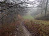 26
26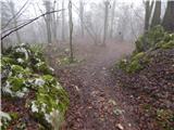 27
27 28
28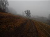 29
29 30
30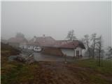 31
31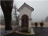 32
32 33
33 34
34 35
35 36
36 37
37 38
38 39
39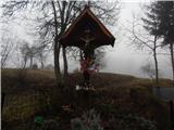 40
40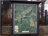 41
41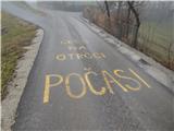 42
42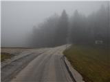 43
43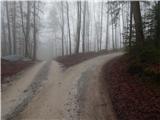 44
44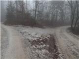 45
45 46
46 47
47 48
48 49
49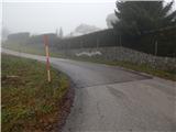 50
50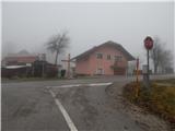 51
51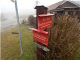 52
52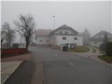 53
53 54
54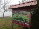 55
55 56
56 57
57 58
58 59
59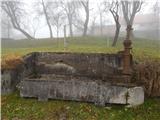 60
60 61
61 62
62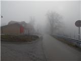 63
63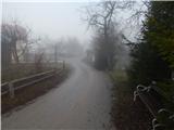 64
64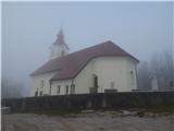 65
65 66
66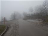 67
67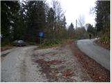 68
68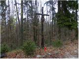 69
69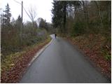 70
70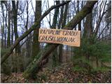 71
71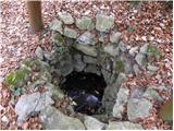 72
72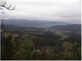 73
73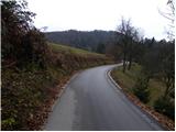 74
74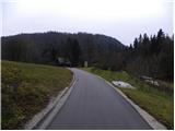 75
75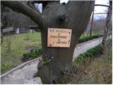 76
76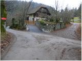 77
77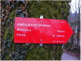 78
78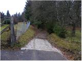 79
79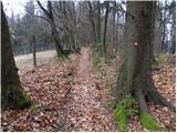 80
80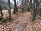 81
81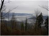 82
82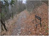 83
83 84
84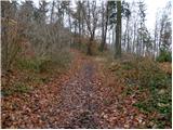 85
85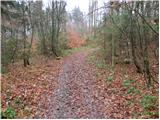 86
86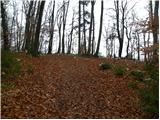 87
87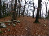 88
88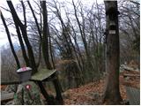 89
89 90
90
Discussion about the trail Gorjuša - Murovica (via Dobovlje)
|
| anak9. 05. 2020 |
Danes sem se sprehodila od doma na Rodici (Domžale) do Murovice. Ker sem poti do Sv. Trojice raziskovala že v času zaprtih občinskih mej, vam predlagam pot, ki se skoraj v celoti izogne cestam:preden pred konjeniškim centrom prideš iz gozda na območje pašnikov, zaviješ levo, hodiš po neoznačenih dobro uhojenih poteh. Ob prvi možnosti zaviješ desno in prideš na cesto nad Brdom. Spustiš se desno do prvega ovinka, kjer zaviješ na markirano gozdno pot v levo (če prideš do sem po cesti skozi vas, zaviješ desno). Markacija je vidna, manjka pa kakšen smerokaz. Markacijam sledimo do Okla. Tam gre cesta v Dobovlje, lepa gozdna steza pa se vzpne nad Oklo in gre po grebenu nad Sv. Trojico (markirano). Na cesto prideš pri smerokazu za grajske ruševine in vodnjak. Naprej slediš opisu!
|
|
|