Starting point: Gojače (215 m)
| Lat/Lon: | 45,9038°N 13,7976°E |
| |
Time of walking: 2 h 55 min
Difficulty: easy marked way
Altitude difference: 1022 m
Altitude difference po putu: 1040 m
Map: Goriška 1:50.000
Recommended equipment (summer):
Recommended equipment (winter): ice axe, crampons
Views: 7.138
 | 1 person likes this post |
Access to the starting point:
From the expressway Nova Gorica - Razdrto, take the exit Selo and then continue along the parallel old road towards Ajdovščina. At the end of Selo, turn left and cross the bridge over the motorway to the nearby craft zone. Continue straight on here, then reach the crossroads at Gojače, where you go straight on again. Continue past the cemetery, after which bear slightly right, and then bear slightly right again at the next junction, which is located just a little further from the nearby church. The road then climbs slightly steeper and leads past the last houses in the village to the hunting lodge LD Čaven (Gojače). Park in the large macadam parking lot near the hunting lodge.
Path description:
From the parking lot, take the cart track marked for St Paul, Kucelj and Čaven. Cart track, which goes immediately into the forest, starts to climb moderately and leads us within 5 minutes' walk to a marked crossroads where the path from the neighbouring village of Malovše joins us from the left.
Here we continue to the right and follow the well-traced but unmarked cart track, which continues through increasingly sparse forest, up to the next marked crossroads. This time continue along the left-hand cart track (St Paul and Vrtovin on the right), with markers for Kucelj and St Paul. A few 10 m higher, join the wider cart track and follow it to the right (left Črniče). Continue for about 10 minutes along the above-mentioned cart track, then arrive at the next crossroads, where the signs for Kucelj direct us to the right to the slightly narrower cart track, which is soon joined from the right by the path that we would have followed if we had continued a little lower in the direction of St Paul and Vrtovina. Continue for some time to the right, then the path leads to a large trough. From here we continue for a short distance through lane of bushes, and then the path leads us to a place where we continue to the left in the direction of Kuclje (to the right of St Paul's Churchyard).
The path ahead takes us through lane of bushes and then quickly into the forest, where we arrive at the next marked crossroads. Continue again in the direction of Kuclje and continue the ascent along the path which crosses the macadam road higher up. The path continues to climb moderately and soon crosses the road again. This time crossing the road, we get a nice view towards the Veliki robo, and the path immediately returns to the forest, through which it climbs moderately for a few more minutes. Higher up, the path turns right and briefly descends to a nearby crossroads, where it joins the path from Vrtovina.
The way forward begins to climb steeply through the forest, through which we continue to climb for some time. Higher up, we cross the Srednječavensko trail, above which the forest slowly begins to thin out. A little higher still, the path comes quite close to the old road link between the Vipava valley and the plateau of the Trnovski Forest. Here, the path to Visoki rob and Selovec branches off to the left, and we continue straight on the marked mountain path, which slowly turns slightly to the right. The forest finally ends, and the path, which offers views towards the High Rim, the Vipava valley and the Trstelj valley, leads us to the last crossroads on our route. We continue to the right again and in a few minutes we climb over the grassy slope to the top of Kuclja, which opens up a view towards Nanos and Golaki.

We can extend the trip to the following destinations: Veliki Rob
Pictures:
 1
1 2
2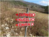 3
3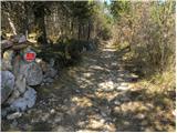 4
4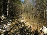 5
5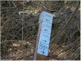 6
6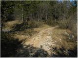 7
7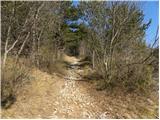 8
8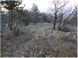 9
9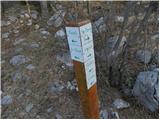 10
10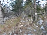 11
11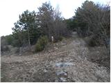 12
12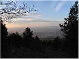 13
13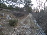 14
14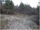 15
15 16
16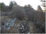 17
17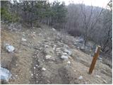 18
18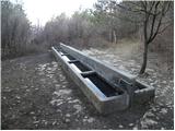 19
19 20
20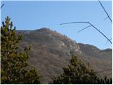 21
21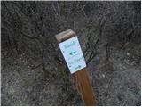 22
22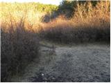 23
23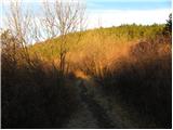 24
24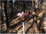 25
25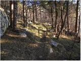 26
26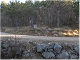 27
27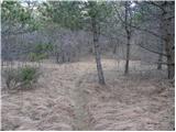 28
28 29
29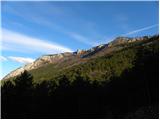 30
30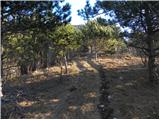 31
31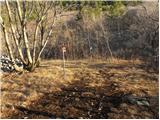 32
32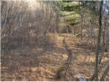 33
33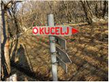 34
34 35
35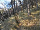 36
36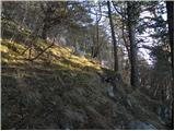 37
37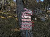 38
38 39
39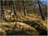 40
40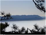 41
41 42
42 43
43 44
44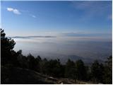 45
45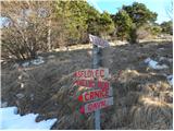 46
46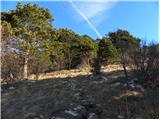 47
47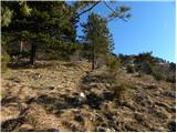 48
48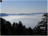 49
49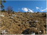 50
50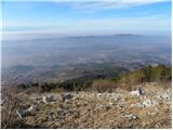 51
51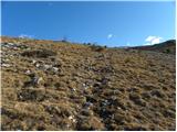 52
52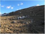 53
53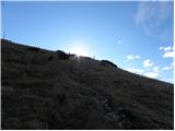 54
54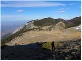 55
55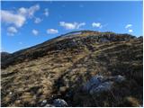 56
56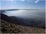 57
57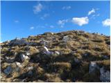 58
58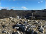 59
59 60
60
Discussion about the trail Gojače - Kucelj na Čavnu
|
| bush8124. 10. 2012 |
2h 55min je pretirano. Sam sem rabil 2h 10min s precej počasno hojo. Drugače pa lepa tura.
|
|
|
|
| BT8825. 10. 2012 |
Sam pridem prej kot v urci  se mi zdi pa čas 2.55 kar v redu.
|
|
|
|
| darinka416. 12. 2020 |
Splača se iti do cerkve sv Pavla . Drugače je zadnji del kar strm.
|
|
|